Bike Tripper
Have Bikes, Will Travel
Bike Trail Maps & Photos Galore
You are here > Home >
New York >
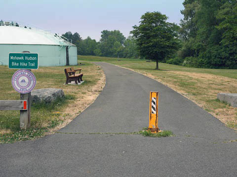
Mohawk-Hudson Bike-Hike Trail
Latest update: June 2023
Mohawk-Hudson Bike-Hike Trail...
New York State Biking
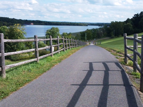
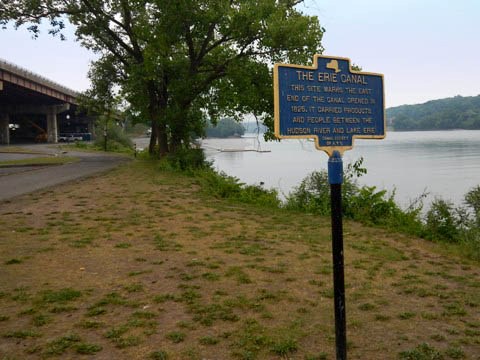
The Mohawk-Hudson Bike-Hike Trail runs 40 miles along the Hudson and Mohawk Rivers from Corning Preserve in downtown Albany, through Schenectady to Rotterdam Junction. With scenic views and parks along the way, the trail is diverse - from urban to suburban areas, to woods and fields, and the ever-present rivers. The paved, multi-use trail was built on the Erie Canal Towpath and on Troy & Schenectady Railroad rights of way. It comprises a section of the Empire State Trail and is part of the Erie Canalway Trail. (Detailed map and photos below.)
Location: Albany to Rotterdam Junction (Albany and
Schenectady Counties, NY) (See map)
Distance: 40 miles
Surface: Asphalt
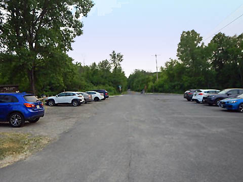
Trailheads/Parking:
Many (see map).
List of all access points 
Bike Shops/Rentals:
CK Cycles
(Albany)
Freeman's Bridge Sports
(Cohoes)
Bike Barn
(Amsterdam)
- Biking the Mohawk-Hudson Bike-Hike Trail
- Trail at Albany
- Corning Riverfront Preserve, USS Slater, Visiting Albany - Trail at Watervliet
- 4th St. Trailhead - Trail at Cohoes
- Cohoes Falls and Overlook - Trail at Colonie
- Colonie Town Park, Riverside Landing Park - Trail at Niskayuna
- Jeff Blatnick Park, Lions Park, Canal Lock 7 Park - Trail at Schenectady
- SUNY Fitness Court, Canal Lock 8 Park - Trail at Rotterdam Junction
- Pattersonville Trailhead - More Information and Resources
Biking the Mohawk-Hudson Bike-Hike Trail... Comments and Photos
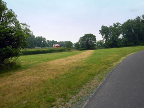
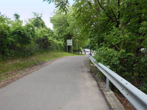
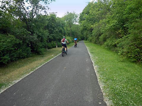
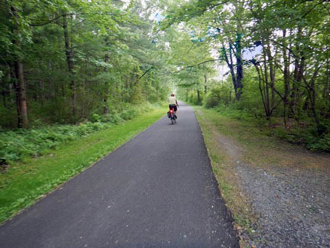
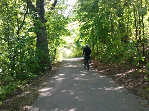
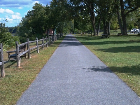
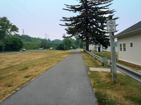
 Unlike many towpath or rail trails, the Mohawk-Hudson Bike-Hike
mostly flat with just a few hills, and is mostly off-road except for
a few sections in Albany, Cohoes and Schenectady where street routes
have been mapped out. Popular for bikers, walkers and runners
(snowmobiles and horses prohibited).
Unlike many towpath or rail trails, the Mohawk-Hudson Bike-Hike
mostly flat with just a few hills, and is mostly off-road except for
a few sections in Albany, Cohoes and Schenectady where street routes
have been mapped out. Popular for bikers, walkers and runners
(snowmobiles and horses prohibited).
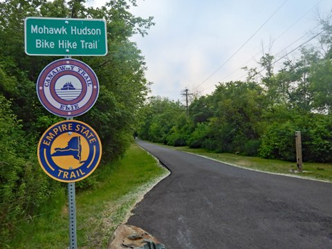
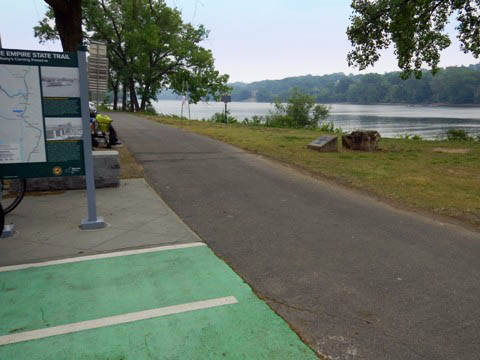
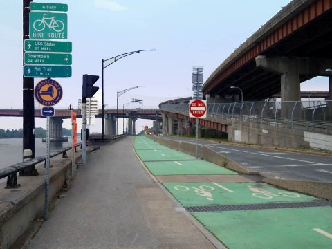
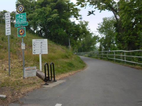
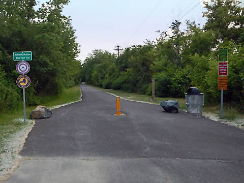
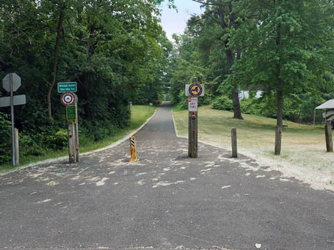
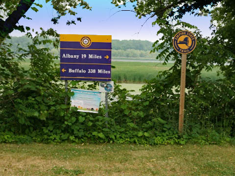
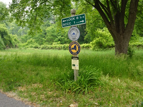
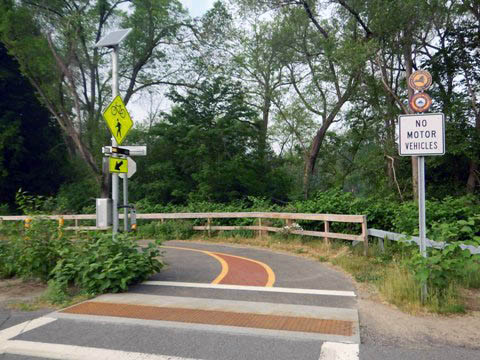
Note: From Albany to Rotterdam Junction, the trail is part of
both the Empire State Trail and Erie Canalway Trail. Signage along the trail
identifies it with all three names - don't be confused, it's the same trail.
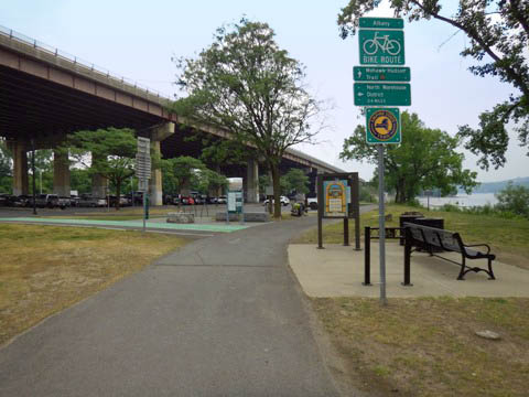
Trail at Albany (mile 0)
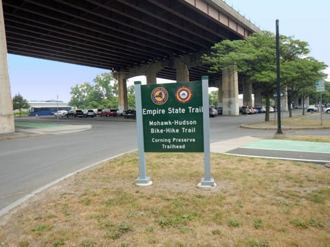
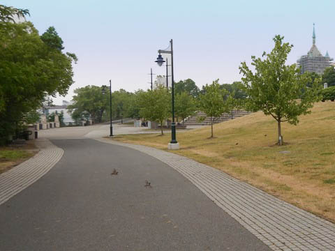
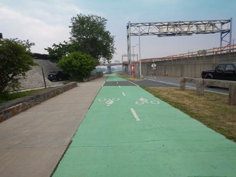
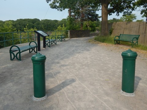
The Mohawk-Hudson Bike-Hike Trail starts at Corning Riverfront Preserve on the western shore of the Hudson River in Albany, NY. The trailhead is located at Quay St. and Colonie St., near downtown Albany. From the trailhead, the trail runs south through Corning Preserve, ending along Quay St. at Broadway, where the Empire State Trail continues across the Hudson to Rensselaer. To the north the trail runs along the Hudson River toward Watervliet.
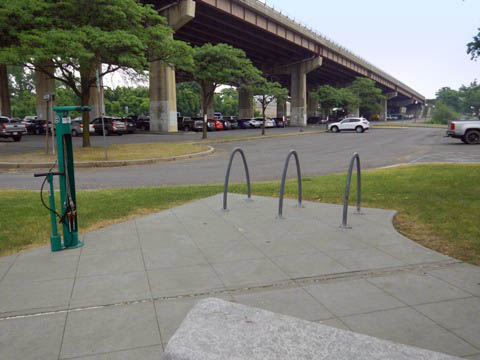
Corning Preserve Trailhead
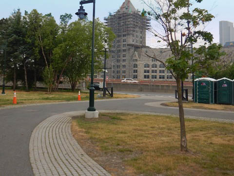
The Trailhead has parking next to (and under) I-787 with benches and a fix-it station, and close to the Corning Preserve boat ramp. Link to downtown Albany from here, crossing I-787 via the Albany Skyway - formerly an underused highway ramp, now an elevated park with bridge and multi-use path.
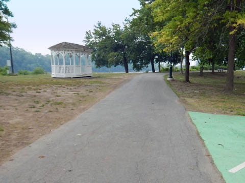
South Through Corning Preserve to USS Slater (1 mile)
Trails wind through the Preserve, with more parking, restrooms, picnicking, playground, and amphitheater at Jennings Landing (where another bridge crosses I-787 to downtown Albany). From the Preserve, the trail runs roadside along Quay St. to its end at Broadway (where the Empire State Trail then continues east across the river to Rensselaer)
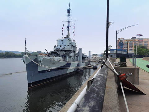
Of interest here is the USS Slater,
the only restored World War II destroyer escort afloat in America. Tours available
(more
information ).
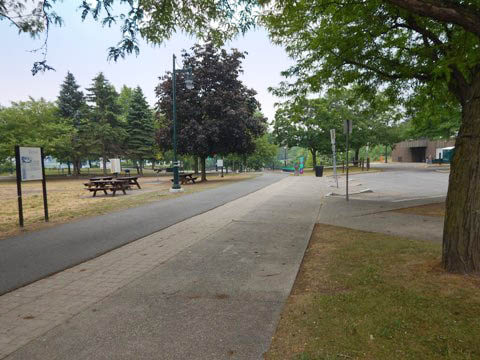
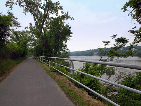
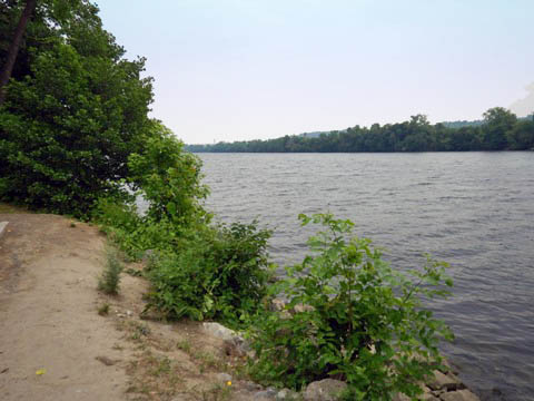
Trail North toward Watervliet (5 miles)
The trail runs north between the river and I-787, fully paved and easy to ride with benches and picnic tables. Closer to Corning Preserve is less shade, then becoming more shaded. While close to the roadway in sections, it's well buffered by vegetation with scenic river views.
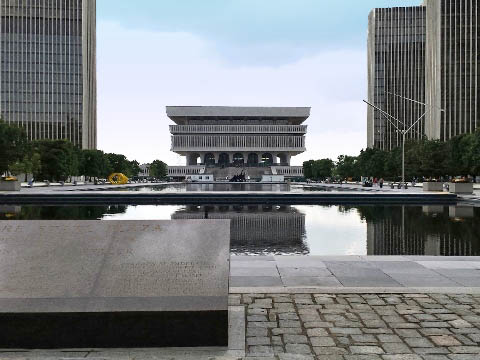
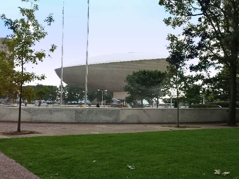
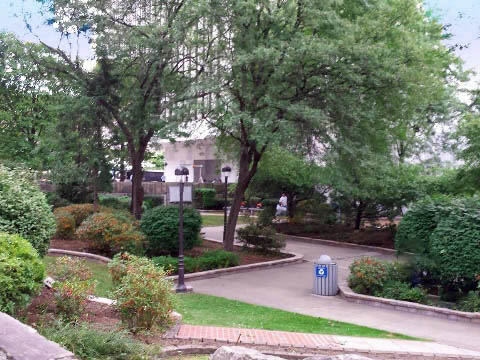
Visiting Albany
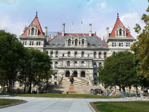
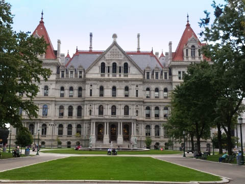
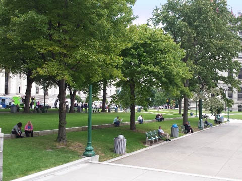
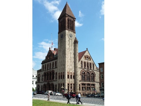
Albany is the New York State capital city, we visited the State Capitol and government building complex at Empire State Plaza. Nearby are an abundance of shopping, restaurants and accommodations, historic and cultural sites, parks, schools, museums, and many recreational options.
For more about biking in the capital region, visit the
Albany Bicycle Coalition .
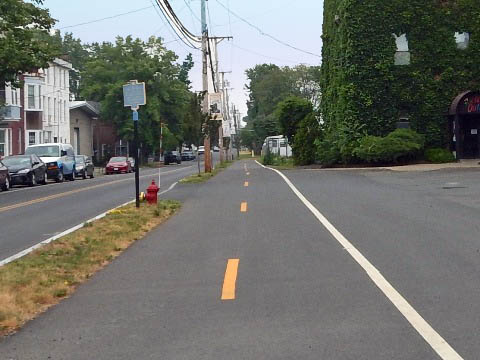
Trail at Watervliet (mile 6.5)
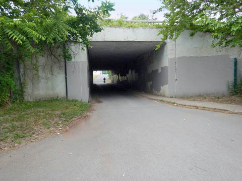
Approaching Watervliet from Albany, the trail continues between I-787 and the river, paved and buffered from the roadway by vegetation. The 4th St. Trailhead in Watervliet has parking, picnic tables, and bike share station, with scenic river views. The trail along the river ends here, go through the tunnel under I-787 to Broadway where the trail then continues as a roadside bike boulevard.
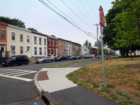
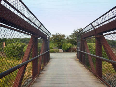
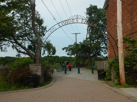
Trail at Cohoes (mile 11.5)
The trail runs along the roadway in this section, then off the road starting from the Alexander St. Trailhead. We bypassed this area, but stopped to visit Cohoes Falls, the second highest in New York (after Niagara Falls). Scenic and worth the detour. (For through-bikers, there's a 1/4 mile street route from the trail to the Falls viewing areas.)
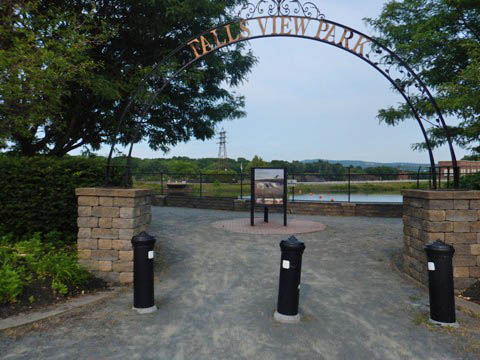
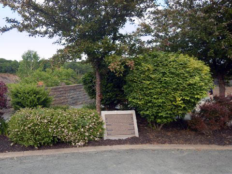
Cohoes Falls and Overlooks
Cohoes Falls, also known as the "Great Falls of the Mohawk," span the Mohawk River just upstream from where it flows into the Hudson River. Excellent viewing of the 1,000 feet wide and 90 feet high falls is available from Falls View Park (open May 1 - November 1) and nearby Overlook Park, (open year-round), both located near the School Street Hydroelectric Plant on North Mohawk Street.
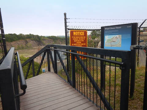
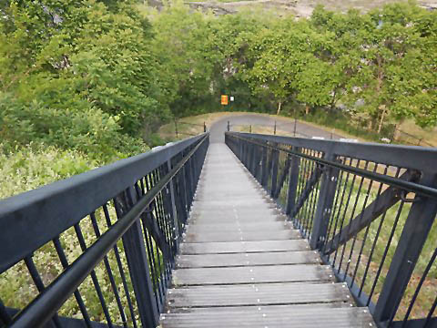
- Falls View Park has a parking lot, 200-foot walkway to viewing area, picnic area, amphitheater, and interpretative signage. Stairs lead down to (and then back up from) a viewing platform and fishing pier on the lower level (closed to visitors during high water).
- Overlook Park has street parking, picnicking, interpretative signage, and includes views of the hydroelectric plant.
Falls View Park
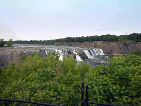
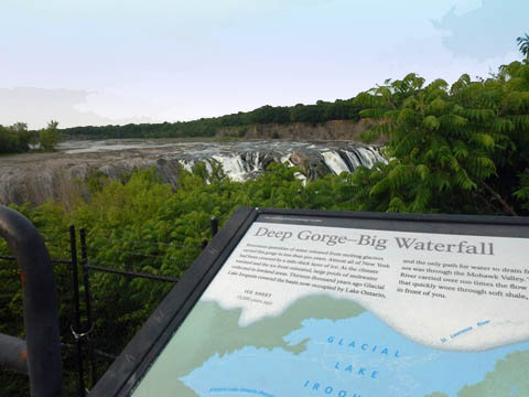
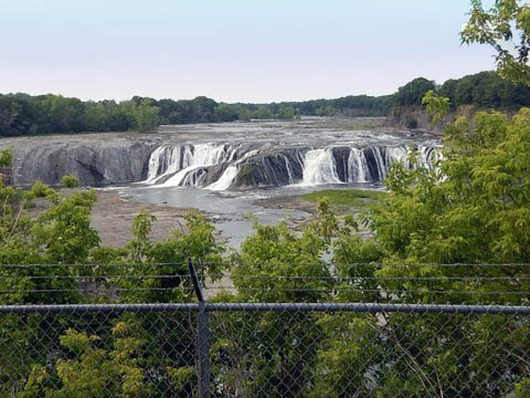
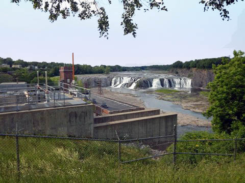
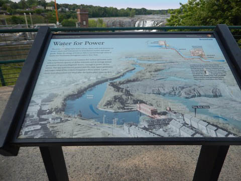
** History: (1) Cohoes Falls is an important Native American site. Iroquois history relates this is where The Great Peacemaker founded the Iroquois Confederacy which united the Mohawk, Oneida, Seneca, Onondaga, and Cayuga peoples. (2) The river was dammed in 1831 to provide water to the Erie Canal; it also powered Harmony Mills, the largest cotton mill in the world at the time. In 1915, electric power was added with construction of the School Street Hydroelectric Facility. Expanded over the years, the power plant is still active today, but draws water from the Mohawk which can lessen the flow over the falls (which sadly was the case in these photos).
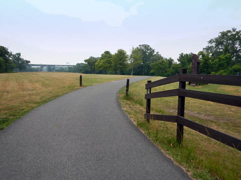
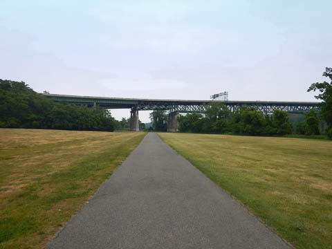
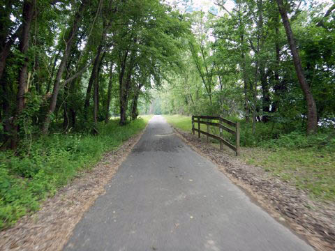
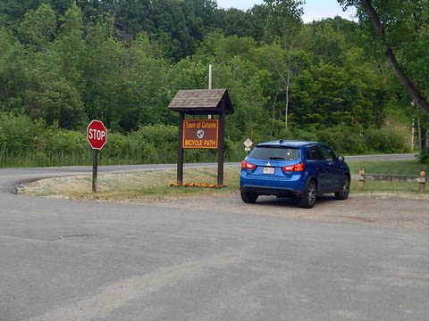
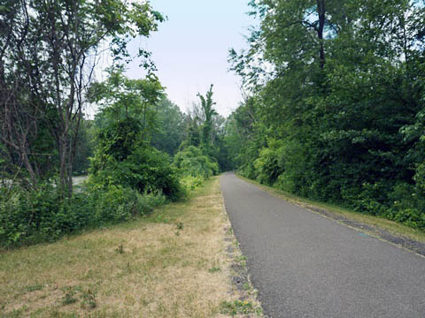
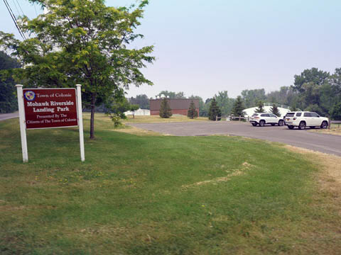
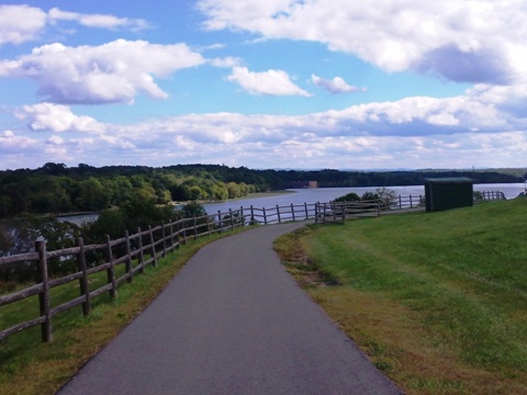
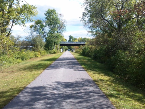
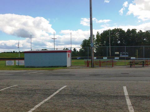
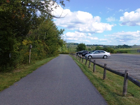
Trail at Colonie (mile 13)
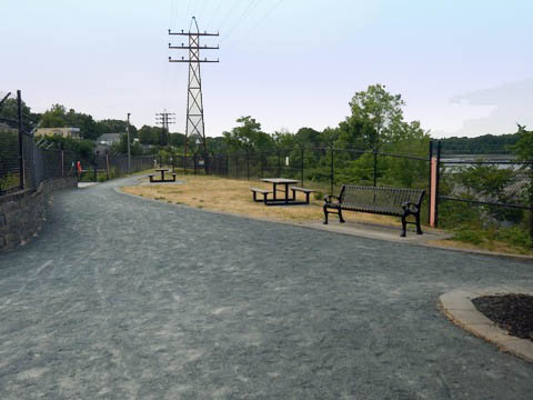
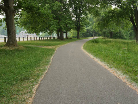
The 5-miles between Colonie Town Park and Mohawk Riverside Landing Park is a pleasant section - paved, easy to ride, quiet with a lot of shade. The trail parallels the Mohawk River, totally away from major roadways with a few quiet road crossings and an underpass at I-87. Nearing Riverside Landing Park, the trail then runs parallel to River Rd., with a wide buffer.
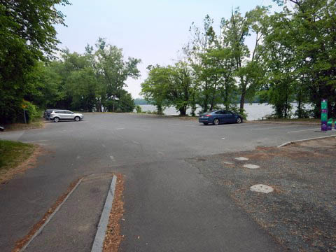
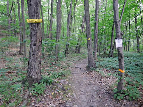
- The Colonie Town Park Trailhead on Schermerhorn Rd. (about 3/4 mile off US 9) has parking and is across from the Mohawk River Park and Pool complex, with restrooms, picnicking, playground, pool and playing fields. Also here is access to the Ridge Trail, a popular 6-mile singletrack mountain biking trail.
- Riverside Landing Park off River Rd. has parking and restrooms.
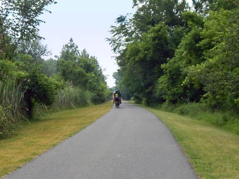
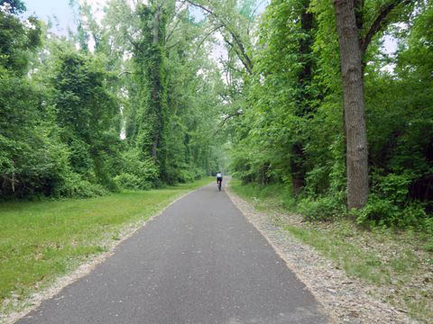
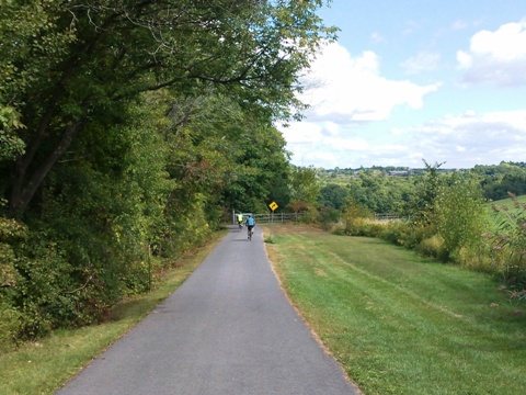
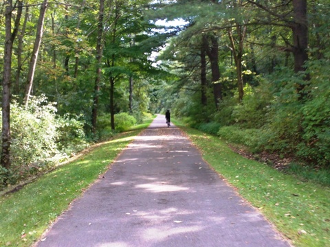
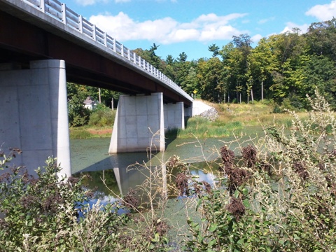
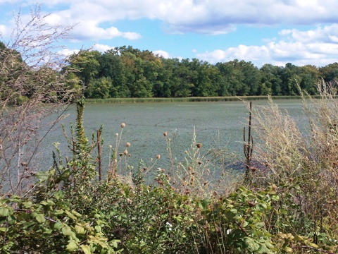
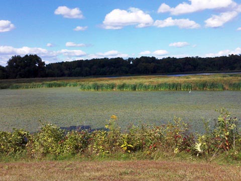
Trail at Niskayuna (mile 19)
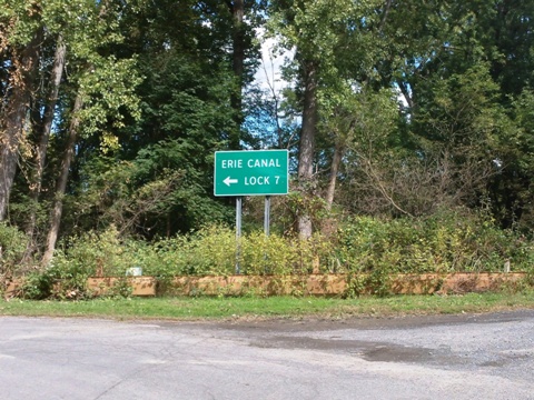
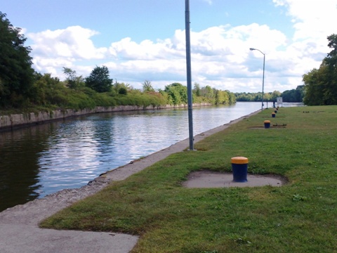
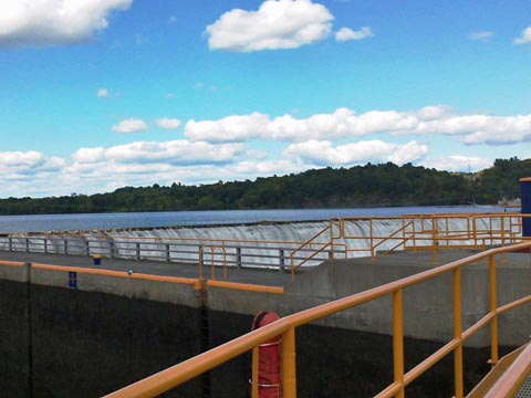
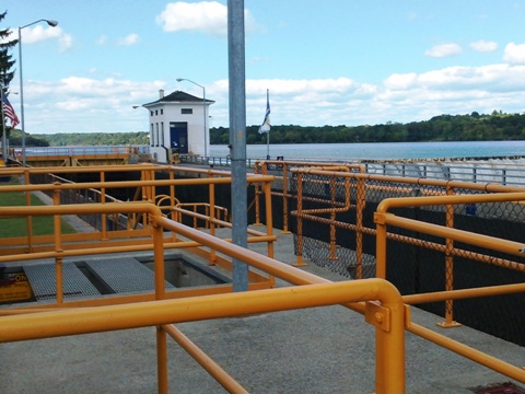
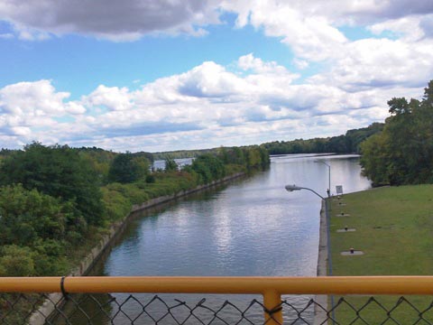
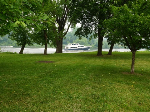
We rank this as the most scenic 4-miles of our visit along the Mohawk-Hudson Bike-Hike Trail. Running closely along the Mohawk River, linking three parks near Niskayuna, NY. From Blatnick Park, the trail descends to the Mohawk with stunning river views. Visiting Lock 7 Park along the Erie Canal was an interesting stop with views of the dam and canal - boats can be seen going through the lock when open from May to November. The trail runs under Ferry Rd. (Verdoy Bridge), which crosses the Mohawk River to Niska Island. Then Lions Park is one mile from here.

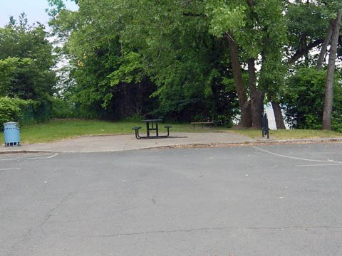
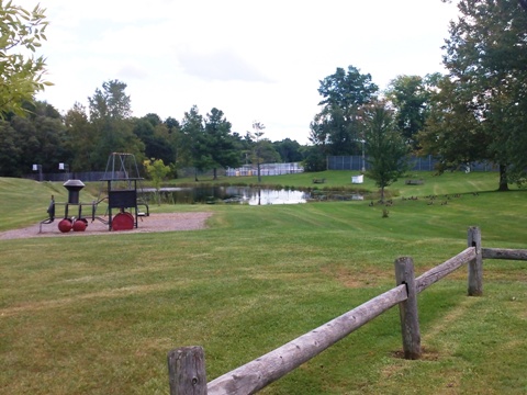
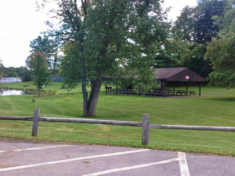
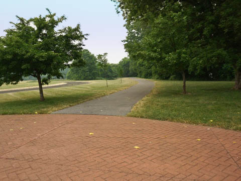
Jeff Blatnick Park
Parking, restrooms, picnic, playground,
playing fields, disc golf course.
More about Blatnick Park
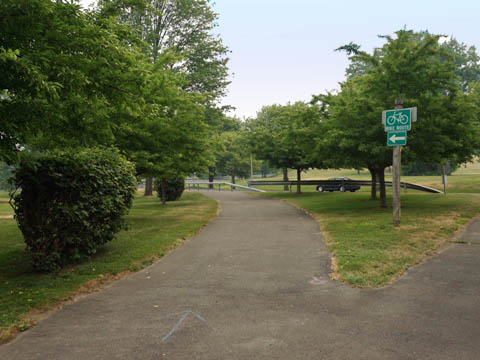
Erie Canal Lock 7
The park at Lock 7 includes parking,
picnic, viewing dock, and boat launch.
More about Lock 7 Park & Boat Launch
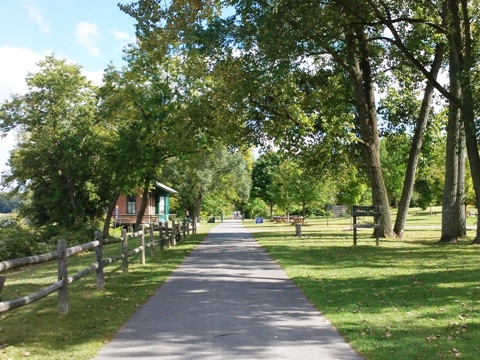
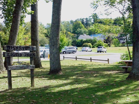
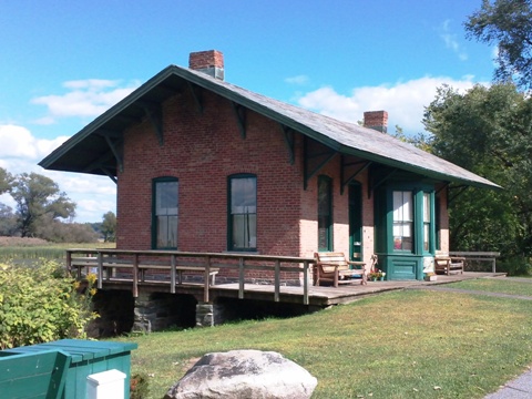
Lions Park
Parking, restrooms, picnic,
kayak/canoe launch, restored train depot.
More about Lions Park
** History: Niska Island was a rich agricultural area first farmed by Mohawk Native Americans, and later by Dutch and English settlers. The Vischer Ferry (1790), a raft pulled across the river from suspended cables, once left from there. The name "Niskayuna" was derived from "Niska," a Mohawk term for "covered with corn."
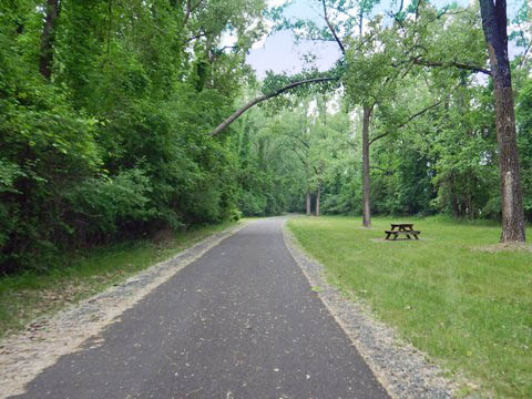
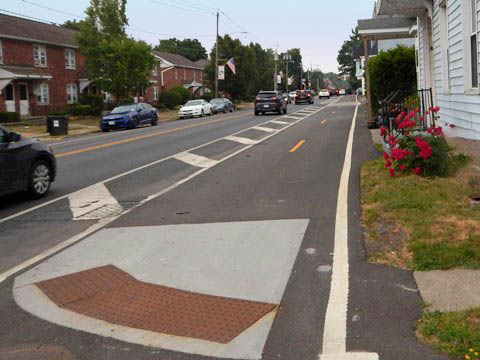
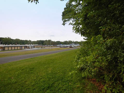
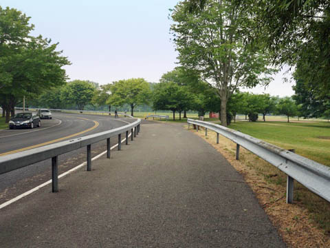
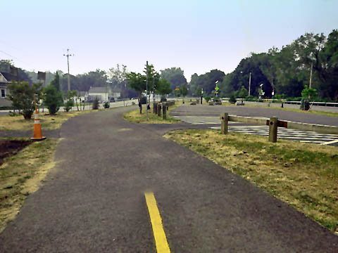
Trail at Schenectady (mile 30)
The trail leading to Schenectady is paved, some roadside, other wooded or farmland. In-town is urban with roadside trail, and in downtown Schenectady a one-mile section of trail runs on local streets, shared with motor vehicles. West from Schenectady, the trail is again paved but much of it parallels interstate highways. There's a lot to do and see in Schenectady - restaurants, shopping, accommodations, schools (SUNY), museums and historic places of interest - but on this trip we bypassed the city, just making a couple stops at places we spotted while driving westward.
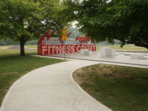
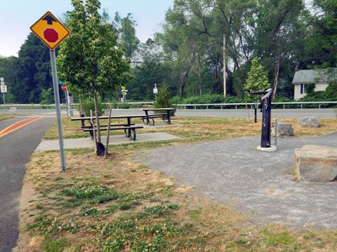
SUNY Fitness Court
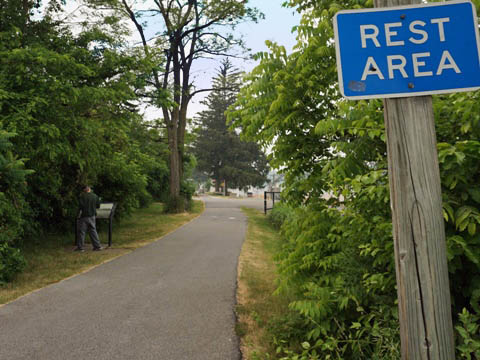
Past Gateway Landing Park (site of Schenectady Harbor, 1660-1820), the trail loops closer to the river, passing the SUNY Fitness Court - a free, outdoor wellness center with 30 pieces of workout equipment at the trail access point on the SUNY-Schenectady County Community College. Roadside parking. For bikers, a good opportunity to stop and stretch.

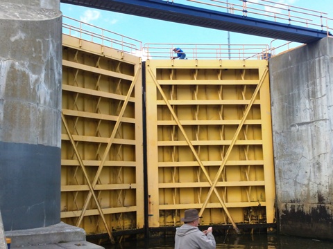
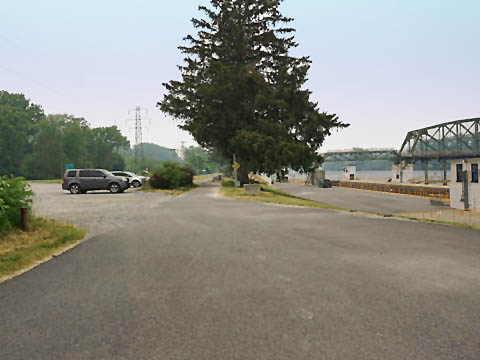
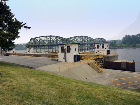
Lock 8 Park
Lock 8 Park is located along Rice Rd. between the river and I-890, with parking, picnic tables and porta-potty. Of interest is the Movable Dam (1908). Movable dams regulate water flow - dam gates are lowered during the summer to form navigable pools for boats going upstream, but are pulled out of the water in winter to clear the way for ice and floodwaters.
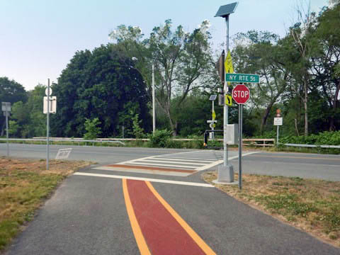
Trail at Rotterdam Junction (mile 40)
Pattersonville Trailhead - Rotterdam Junction
The Pattersonville Trailhead is located along River Rd. (SR 5S/Main St.), with parking, picnic tables, and bike fix-it station. This is at the Schenectady/Montgomery County Line, marking the end of the Mohawk-Hudson Bike-Hike Trail. The Erie Canalway Trail / Empire State Trail, however, continues on its westward route, running through a shaded corridor paralleling SR 5S, buffered from the road.
More Information and Resources
Nearby Biking:
Erie Canalway Trail
Empire State Trail
Bike-New York
- More bike trails and information about biking in New York State
Related Resources:
Niskayuna NY - Mohawk-Hudson Bike Hike Trail
Empire State Trail - Mohawk-Hudson Bike Hike Trail
Support and Advocacy:
Friends of the Mohawk-Hudson Bike-Hike Trail

Copyright © BikeTripper.net. All Rights Reserved. Have Bikes - Will Travel