Bike Tripper
Have Bikes, Will Travel
Bike Trail Maps & Photos Galore
You are here > Home >
Utah >
Moab Canyon Pathway
Reported: Sept. 2013
Moab Canyon Pathway...
Connecting Utah National Parks
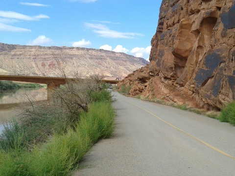
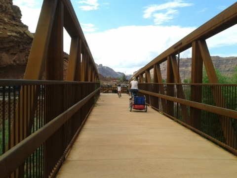
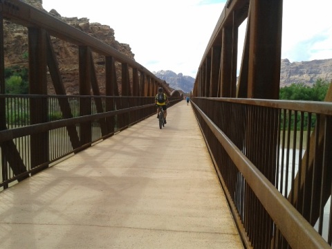
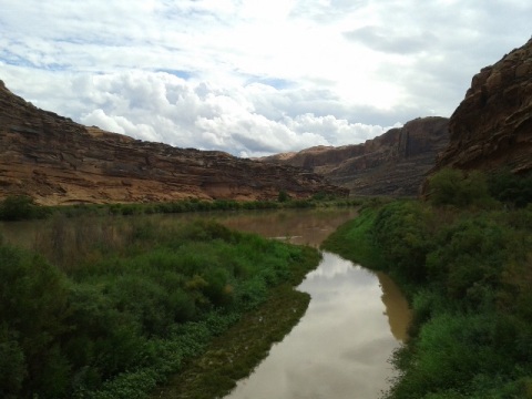
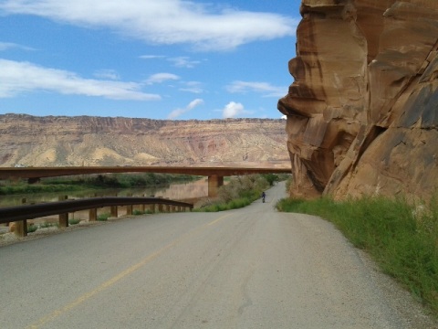
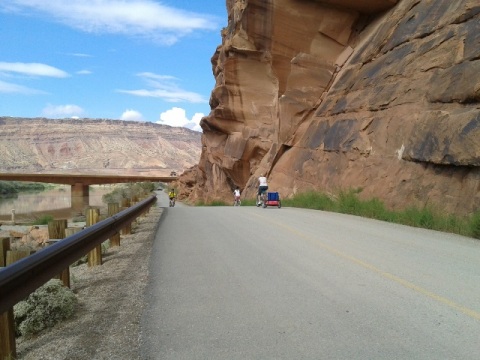
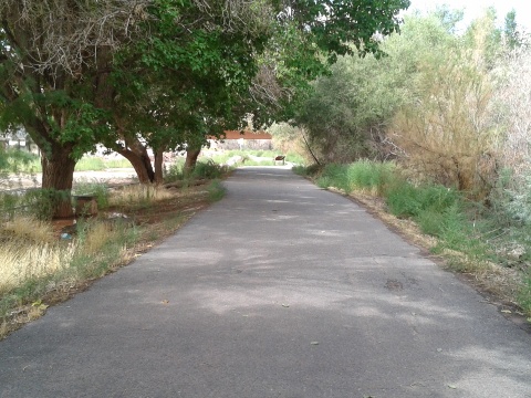
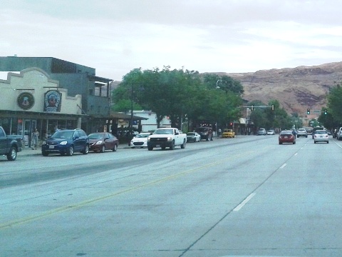
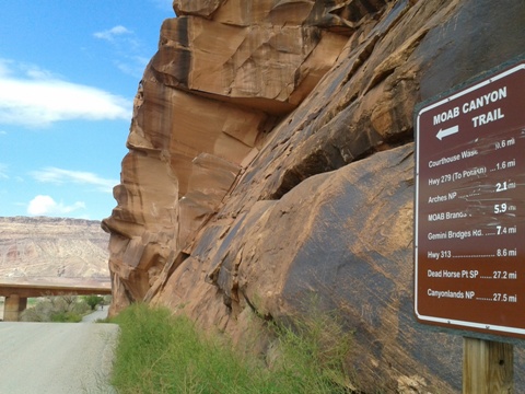
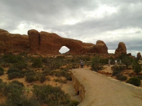
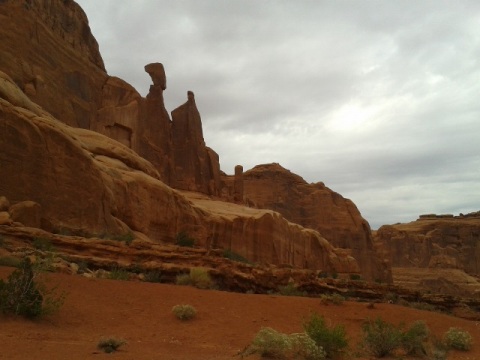
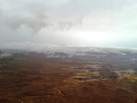
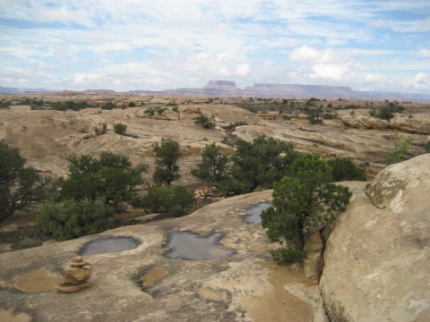
Moab is a mecca for mountain biking, but a nice option for paved biking exists. The Moab Canyon Pathway provides a connection to two national parks and one state park. Starting from the Lions Park Trailhead, cross the Colorado Riverway Bicycle/Pedestrian Bridge. The paved pathway runs north alongside US 191 to Arches National Park (2 miles), and ends at SR 313 (9 miles) which connects to Canyonlands National Park and Dead Horse Point State Park. These are uphill, so be aware. From the trailhead, a spur runs 1 mile south to Moab - with many hotels, restaurants and shops it's popular with National Park visitors and as a base for mountain bikers and off-roaders. Also from the trailhead and running east is a scenic spur (3/4 mile) between SR 128 and the Colorado River to the Goose Island Trail. (Detailed map and photos below.)
Location: Moab, UT, to Canyonlands National Park (See map)
Distance: 11 miles along US 191 and SR 128; more on
connecting routes to national and state parks
Surface: Paved
Bike Shops/Rentals:
Moab Cyclery  (rentals, shuttle, tours)
Bike Fiend
(rentals, sales, service, shuttle)
Chile Pepper Bike
Shop
(rentals, sales, service, tours)
Poison Spider Bicycles
(rentals, sales, service, shuttle)
Biking at Moab Area
Moab Canyon Pathway
More Information and Resources
More Biking:
Bike-Utah - More
information about biking in Utah
Related Resources:
Discover Moab - Moab Canyon Pathway
City of
Moab - Trails

Copyright © BikeTripper.net. All Rights Reserved. Have Bikes - Will Travel