Bike Tripper
Have Bikes, Will Travel
Bike Trail Maps & Photos Galore
You are here > Home >
Georgia >
St. Simons Island
Reported: August 2022
St. Simons Island...
Georgia Coastal Island Biking
St. Simons Island is Georgia's Golden Isles largest barrier island. The island is very bikeable, a 30-mile trail system covers the 10-mile long island, connecting to restaurants, shopping, lodging, residential, beach, and historical sites. The southern part of the island is more developed, while the north has more natural areas, including Cannon's Point Preserve, and Fort Frederica National Mnument. Numerous historical sites and markers tell of the Island's history, from Native American, British colonial, Revolutionary War era, and beyond. (Detailed map and photos below.)
Location: Glynn County, GA (See map)
Distance: 30 miles of multi-use bike paths
Surface: Paved
Nearby Places of Interest:
Fort Frederica National Monument, Christ Church, St. Simons Lighthouse,
Cannon's Point Preserve, World War II Home Front Museum, Marshes of
Glynn
Bike Shops/Rentals:
See list here 
Page Summary:
- Biking at St. Simons Island
- South Section... Pier Village to
East Beach and Return
- Pier Village, St. Simons Island Pier, Neptune Park, St. Simons Lighthouse
- Ocean Blvd., East Beach, World War II Home Front Museum
- E. Beach Causeway, Demere Rd., Ocean Blvd. - North Section
- Frederica Road, Fort Frederica, Christ Church
- Hampton Spur, Frederica Park, Cannon's Point - T.J. Torras Causeway
- Causeway - Nearby Places of Interest
- The Marshes of Glynn - More Information and Resources
Biking at St. Simons Island... Comments and Photos
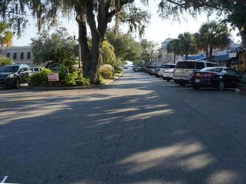
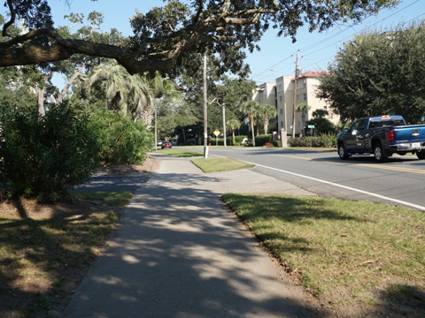
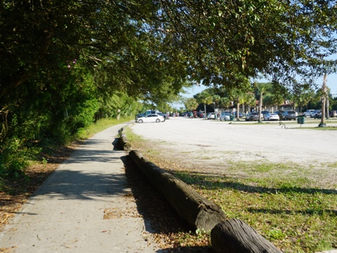
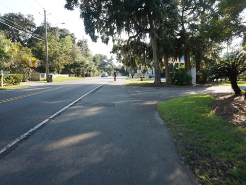
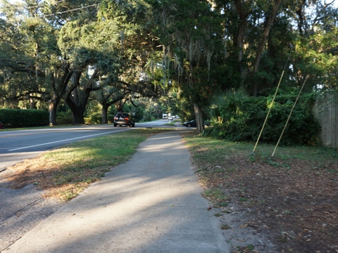
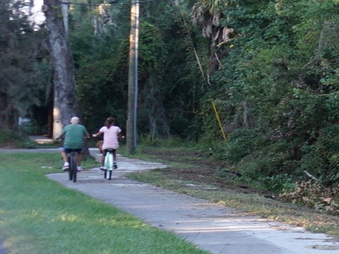
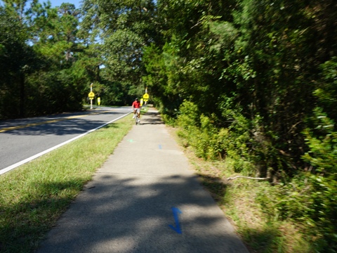
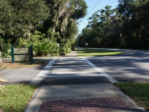
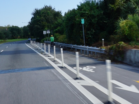
Paved multi-use trails parallel all the main roads, making bicycles an ideal way to explore the Island. In the busier south section, with many road crossings, they mainly serve as a means for people to get from place to place. In the north with longer open stretches and fewer road crossings, bikers can ride more freely. Be careful, many of the roads are busy, particularly in the southern section, with road crossings and driveways.
South Section... Pier Village to East Beach and Return
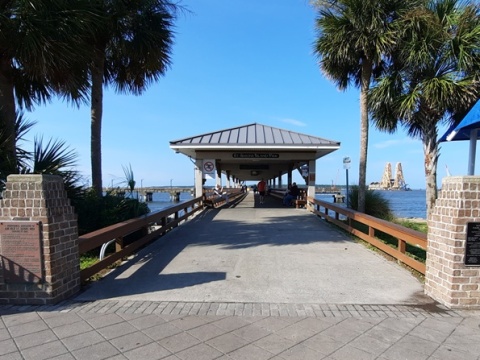
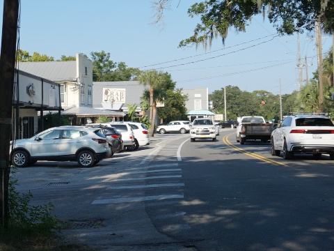
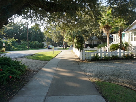
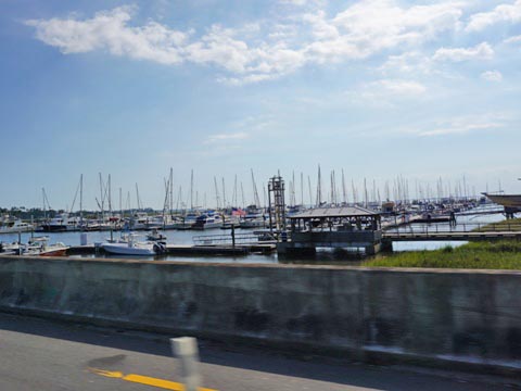
Pier Village and St. Simons Island Pier
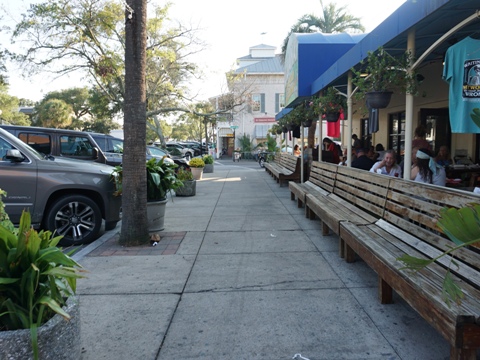
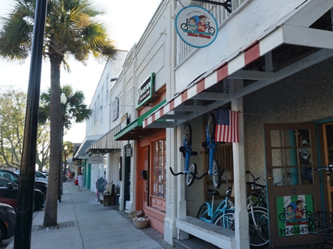
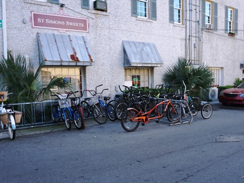
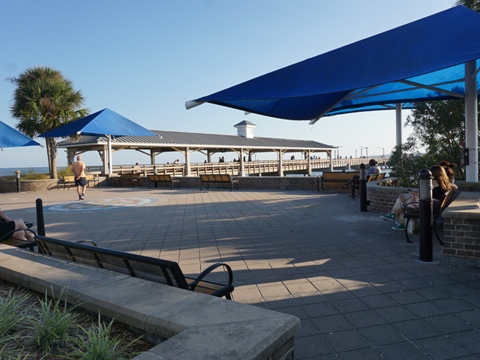
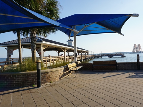
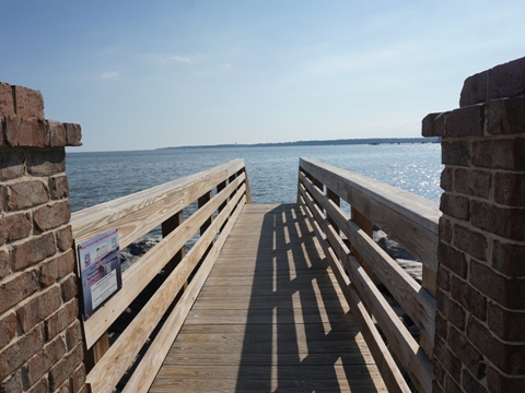
Bike paths wind through the Pier Village along Malllery St. and surroundings with restaurants, shops, and bike and watercraft rentals. Lots of bike racks! Parking is available along the village roads and at Neptune Park and the pier. The St. Simon's Island Pier, overlooking St. Simons Sound at the end of Mallery St., is popular both for fishing and for taking a stroll. This is one of three ocean piers in Georgia (the others at Jekyll Island and Tybee Island).
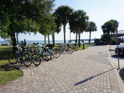
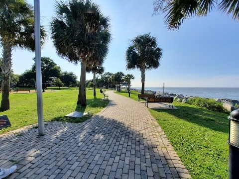
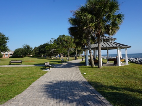
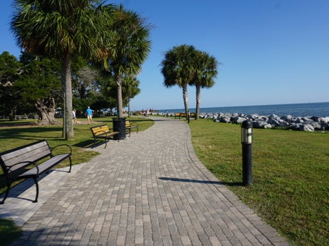
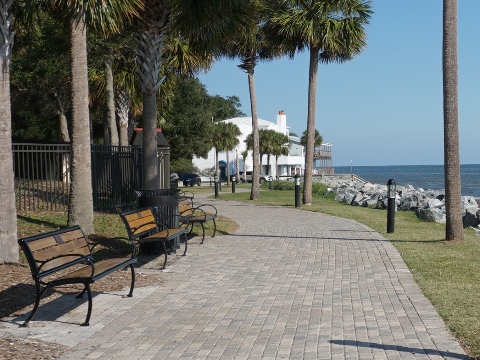
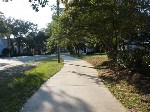
Through Neptune Park to Lighthouse - 0.25 mile
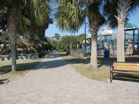
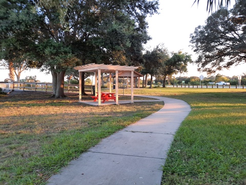
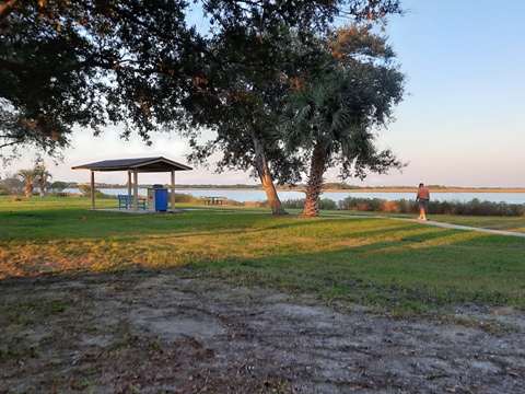
From the pier, the path runs through Neptune Park along the shoreline to the lighthouse - though just 1/4 mile, one of the most scenic rides on the island. The park includes restrooms, picnic tables, playgrounds, miniature golf, and pool. Benches are located regularly along the path, plus some crossovers to the beach (rocks here).
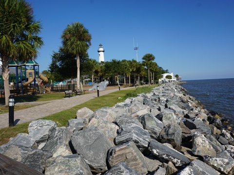
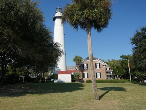
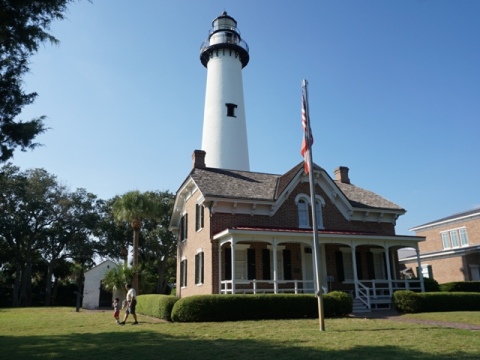
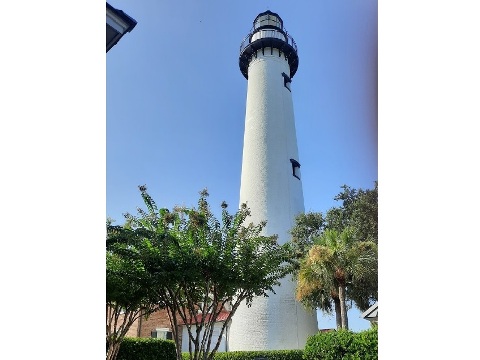
St. Simons Lighthouse
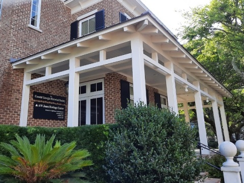
The historic St. Simons Lighthouse dates to 1872, having replaced an earlier one destroyed in the Civil War. Now automated, it remains in operation today, one of 5 surviving in Georgia. Climb 129 steps to the top. The campus includes the Lighthouse, the Keeper's Residence (now a museum), the oil house and Victorian Gazebo.

St. Simon's Lighthouse to First Street - East Beach Access
Along Ocean Blvd. - 1.5 mile
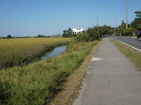
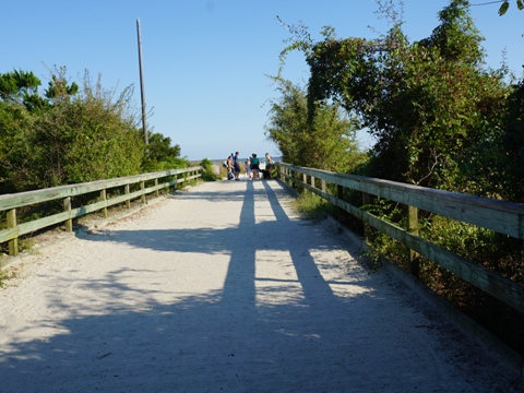
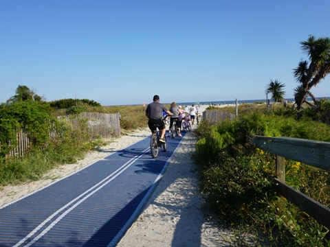
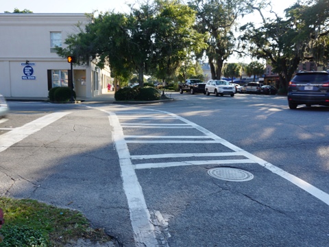
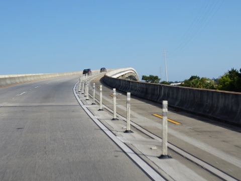
Past the Lighthouse, follow 12th St. (on the sidewalk or in the road) north to Ocean Blvd. Then the path runs northeast along Ocean Blvd. Some sections are more of a wide sidewalk, and a section runs as a bike lane. At first, Ocean Blvd. has more commercial areas and cross streets. After passing Massengale Park (parking, restrooms, picnic, beach access) it runs along the salt marsh, with no crossroads, to the E. Beach Causeway at First Street. This Causeway is the main east-west link to the beach. Go around the roundabout onto First Street, east to the beach access.
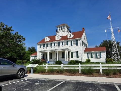
East Beach and World War II Home Front Museum
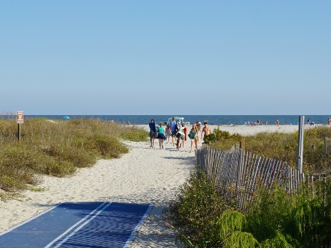
East Beach is St. Simon Island's public beach, about 2 miles along the Atlantic. Lodging and food are available nearby in the western section, but the beach itself is not commercialized. There are several access points, a popular choice (shown here) is the First Street Beach Access, across from the E. Beach Causeway. Here are parking (can fill up in the busy season), restrooms, and seasonal concessions. At low tide the beach is bikeable. The Historic Coast Guard Station now houses the World War II Home Front Museum, preserving the history of the Golden Isles in protecting the coast during WWII.
East Beach Return to Pier Village
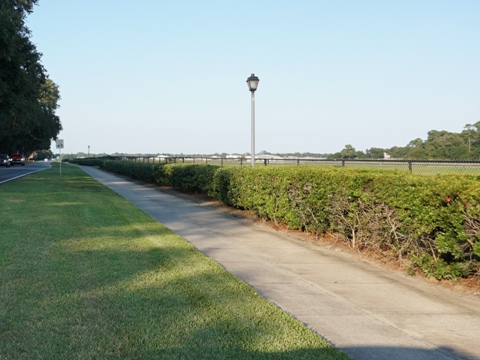
E. Beach Causeway - Demere Road Trail - 2 miles
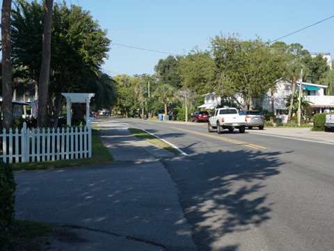
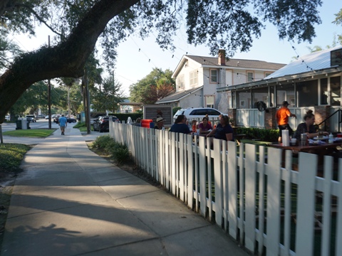
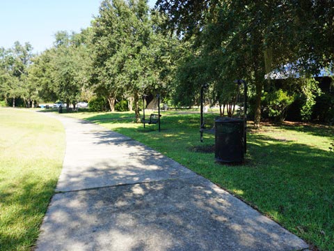
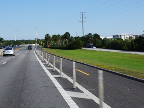
Leaving the beach along First Street, go around the roundabout at Ocean Blvd. and onto the E. Beach Causeway, which runs about 0.5 mile through salt marsh to Demere Road. Demere Road is a main route running about 3.5 miles from the F.J. Torras Causeway to Ocean Blvd. near the Lighthouse. A paved path runs the length of the road. At E. Beach Causeway go around the roundabout and follow Ocean Blvd., past a leg of the airport and Demere Park to Mallery St. (1.5 mile). Proceed south on Mallery back to Pier Village. While few sites of interest, this is a popular bike route for both locals and visitors to get to shops, restaurants, lodging, and parks. Demere Park along the way has parking, restrooms, playground, playing fields, skate park, Butterfly and Rose Gardens.

North Section... Fort Frederica, Christ Church, Frederica Park
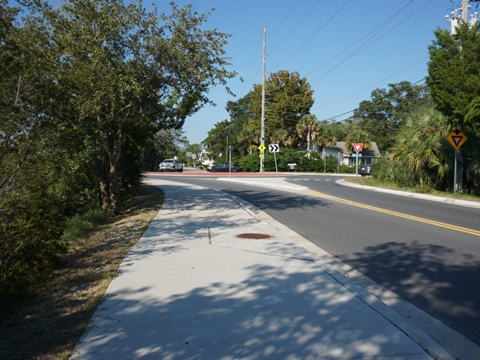
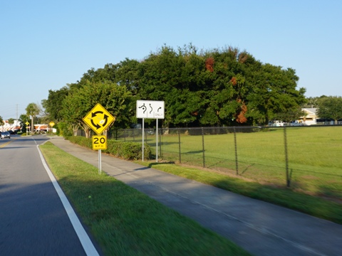
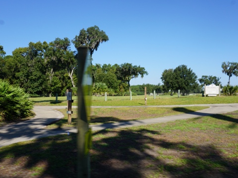
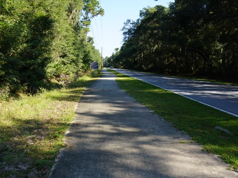
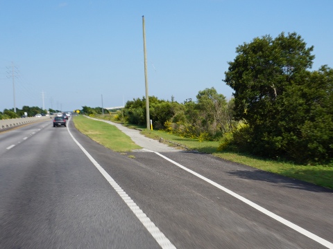
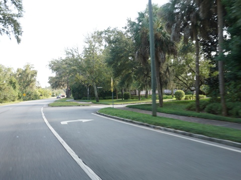
Kings Way to Frederica Roundabout - 5.5 miles
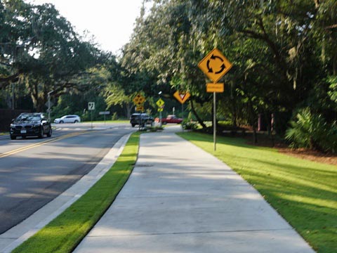
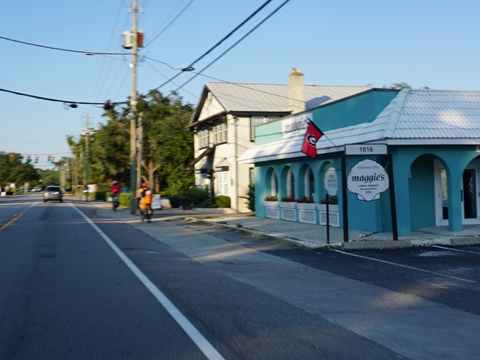
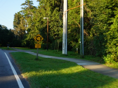
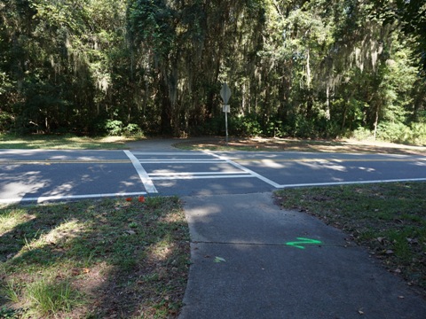
Frederica Road is the major north-south route, and the paved path follows the entire road. This is a busy road with a lot of road crossings, be particularly careful navigating the roundabouts. Starting from Kings Way at McKinnon- St. Simons Island Airport the path runs on the east side of Frederica Road. After circling the Demere Road roundabout is a busy commercial area with many road and business crossings to stay aware of. Past Sea Island Rd. it gets less busy with more greenery, fewer roads, and a golf course. Frederica Rd meets Lawrence Rd. at a roundabout - go around, crossing the road then slightly to the left to continue on Frederica Rd.
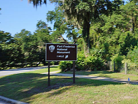
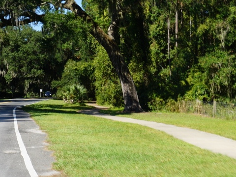
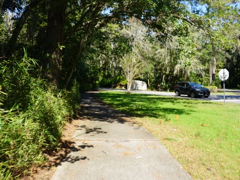
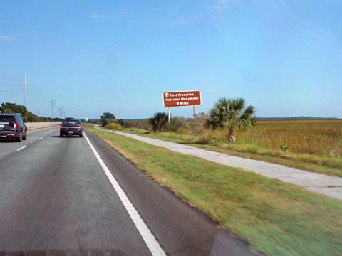
Fort Frederica / Christ Church Trail - 1 mile
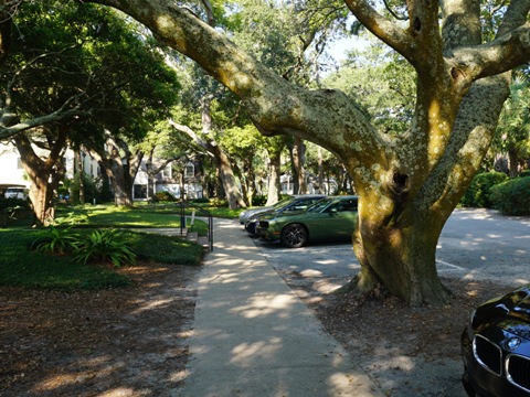
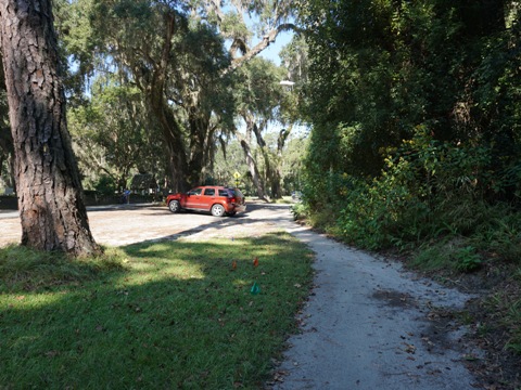
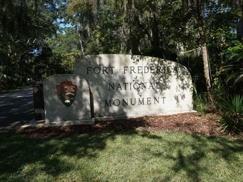
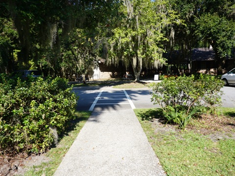
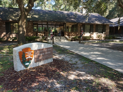
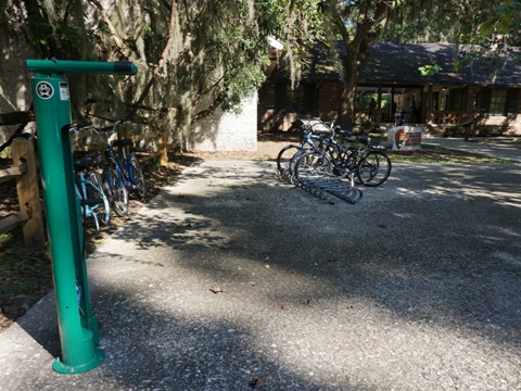
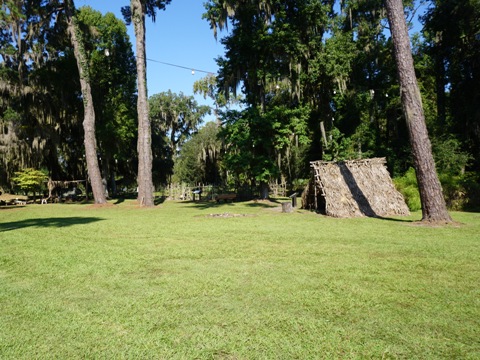
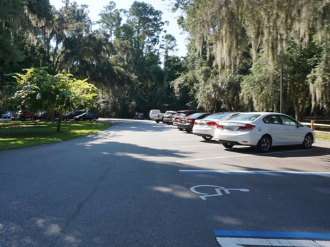
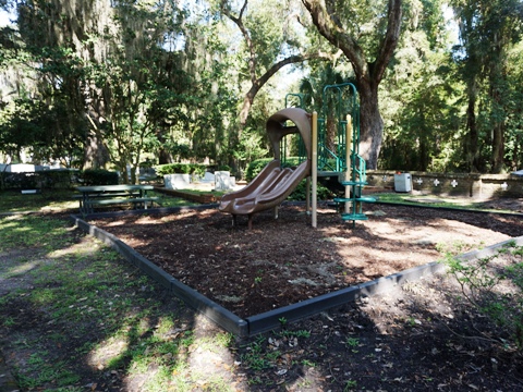
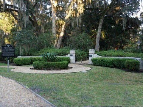
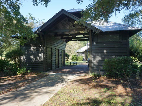
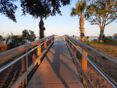
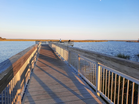
From the Roundabout, it's about a mile to Fort Frederica on a paved path separated from the road by a grassy median along Fort Frederica Rd. The trail passes Oglethorpe Elementary School, then Christ Church, with a small dirt parking area along the trail. Shortly past the church, the trail crosses to the other side of the road and then enters Fort Frederica. In addition to the historical exhibits, the monument grounds have parking, bike racks and repair station, restrooms, picnic area, Visitor Center, nature trails, and kayak launch.
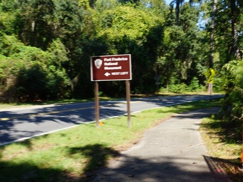
Fort Frederica National Monument
Fort Frederica was built between 1736
and 1748 under the direction of James Oglethorpe (founder
of Georgia) to protect the southern boundary of the British
colony from Spanish raids. Declared a National Monument in
1936, ruins of the fort and barracks, plus excavated foundations
of structures in the surrounding town, can still be seen.
More history
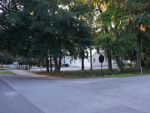
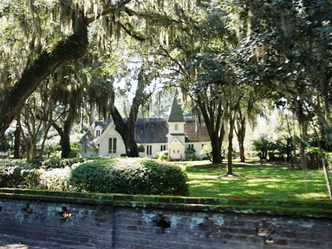
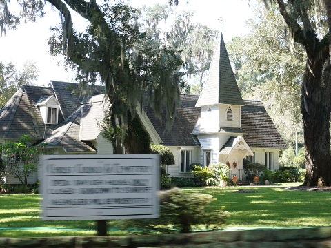
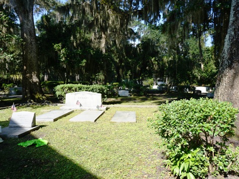
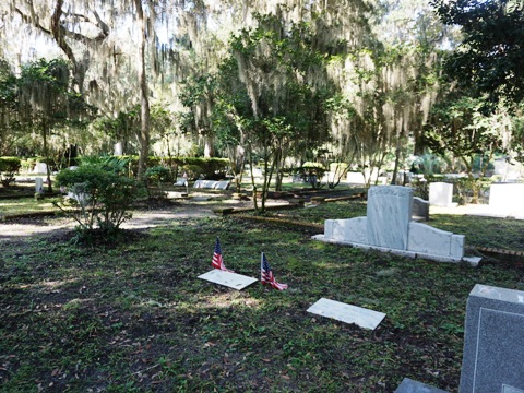
Christ Church and Cemetery
Christ Episcopal Church started as a
mission in 1736, with both Charles and John Wesley (who later
founded the Methodist Church) having ministered here. An
Episcopal Church was formally established here in 1808, the
current building dates to 1884. The cemetery is one of the
oldest in Georgia, with graves dating to 1803.
More history .
Also along this section
The Wesley Memorial Monument honoring John and Charles Wesley. Nearby, Wesley United Methodist Church at Frederica was established in 1987.
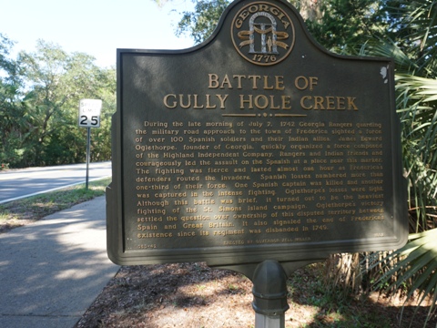
A marker commemorating the Battle of Gully Hole Creek (1742), where Oglethorpe organized troops and routed a Spanish force, establishing Britain's ownership of this disputed territory.
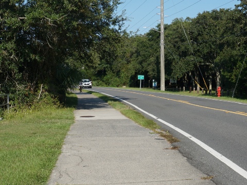
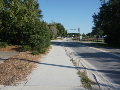
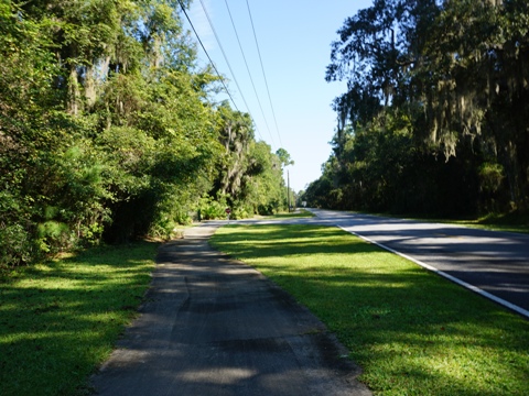
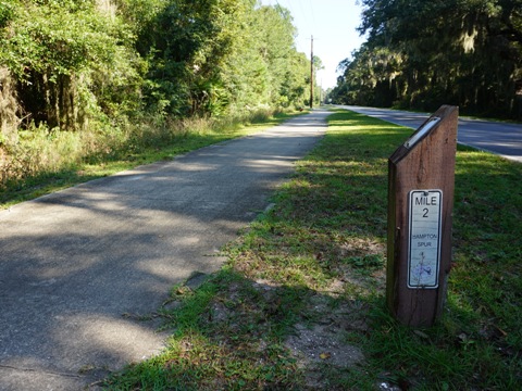
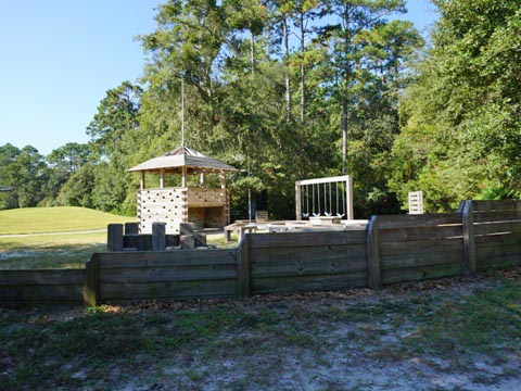
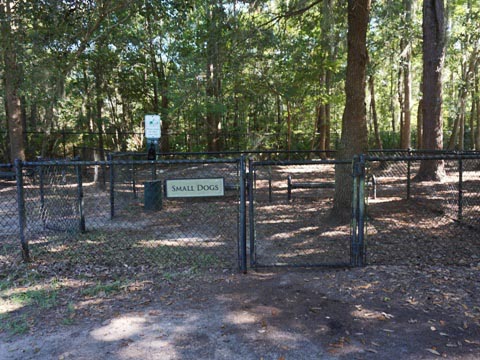
Hampton Spur - 5 miles
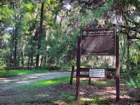
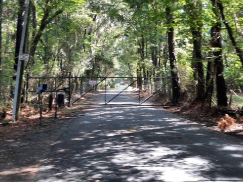
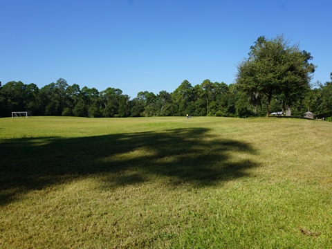
Hampton Spur runs from the Frederica Road roundabout north along Lawrence Road, 5 miles to Hampton Estates and a golf club. Frederica Park, two miles north of Frederica Road, is a good option for visiting the north end of the island (parking, restrooms, picnic, playground, playing fields, dog park, and the Alice Richards Botanical Trail). The entry to Cannon's Point Preserve is off the road (open Saturdays, Sundays and Mondays, closed when we visited) - covering 600 acres, includes middens dating back to 2500 BCE and plantation ruins from the 19th century.
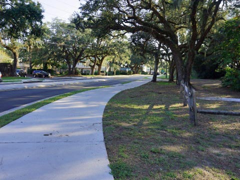
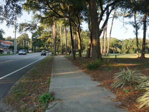
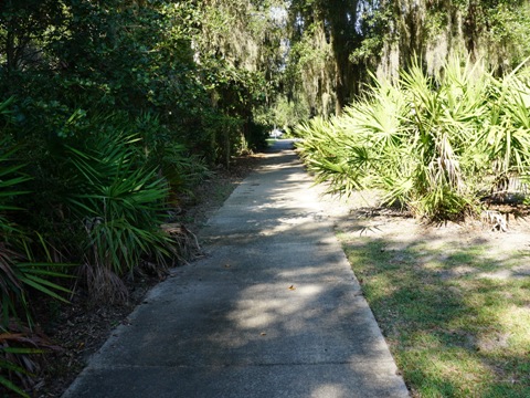
This a less populated area with just a few road crossings and lots of greenery through maritime forest. This is the best section for serous cyclists seeking pure, uninterrupted biking.
Along Lawrence Rd.

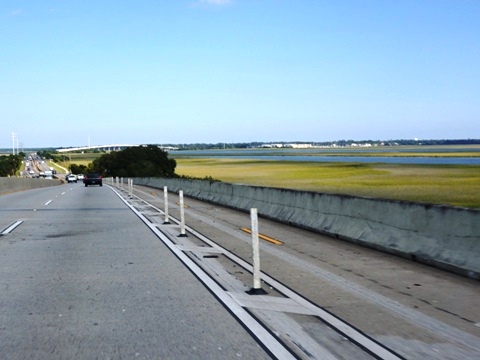
F.J. Torras Causeway
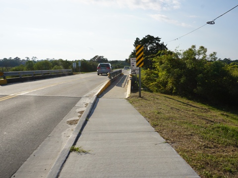
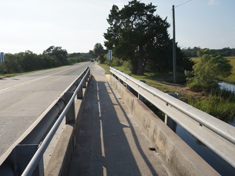
Along the Causeway - 5 miles
The Causeway runs 5 miles from Brunswick, GA, to St. Simons Island, crossing the Mackay River onto Lanier Island (Frederica Yacht Club, restaurants), then continuing over the Frederica River to St. Simons. A separate trail runs the length of the causeway, including protected bike lanes over the bridges. At its end on the island, the Causeway feeds into a triangle - Kings Way, Demere Road and Sea Island Road are main routes linking to all areas of the island.
Nearby Places of Interest
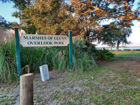
Marshes of Glynn
The Marshes of Glynn were made famous in a poem by Sydney Lanier (1842-1881) as part of series of nature poems celebrating the beauty of the coastal marshes. The Golden Isles got their name from the golden hue they take on in the colder winter months. They can be seen from both St. Simons Island and Jekyll Island. In Brunswick about 0.7 mile south of the T.J. Torras Causeway, the Marshes of Glynn Overlook Park has excellent marsh views, parking, picnic tables, fishing pier, and an educational exhibit. No restrooms. Visiting later in the day, we enjoyed the golden hues.
Georgia's salt marshes cover almost 400,000 acres along 100 miles of Georgia coastline behind the barrier islands, second largest in the U.S. and one-third of all salt marshes on the East Coast. They are an important ecosystem, serving as primary nursery areas for blue crabs, oysters, shrimp and other fish and shellfish. They also help filter pollutants and create a buffer against offshore storms. A variety of other wildlife and birds can be found here.
More Information and Resources
Nearby Biking:
Jekyll Island
Bike-Georgia - More bike trails and information about biking in Georgia
Related Resources:
The Golden Isles - St. Simons Island
Explore St. Simons
Island - a guide to everything St. Simons
St. Simons Island Trail System
National Park Service, Fort Frederica National Monument
Support and Advocacy:
St. Simons Land
Trust

Copyright © BikeTripper.net. All Rights Reserved. Have Bikes - Will Travel