Bike Tripper
Have Bikes, Will Travel
Bike Trail Maps & Photos Galore
You are here > Home >
North Carolina >
Bike Asheville
Latest update: September 2024
Bike Trails... Asheville, NC
A Vibrant Blue Ridge Mountain Community with a Growing Greenway Network
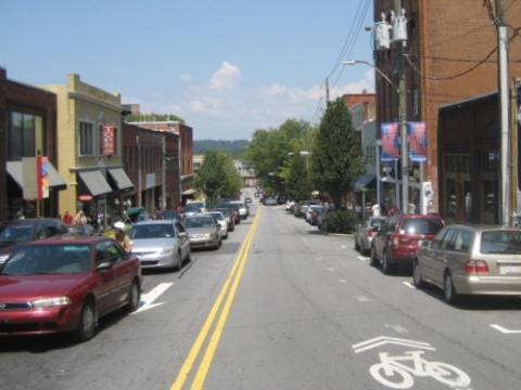
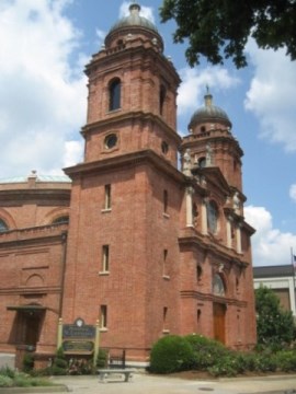
The City of Asheville is probably best known as the home of the Biltmore Estate, with its vibrant downtown a popular destination for dining, the arts and music. The city also serves as a gateway to the Blue Ridge Mountains and its many sights and activities. We enjoy visiting (more below), but as BikeTrippers are always seeking fun recreational biking opportunities, and Asheville's growing Greenways system more than met expectations. The city has about 9 miles of greenway completed, with ongoing projects to extend the network.
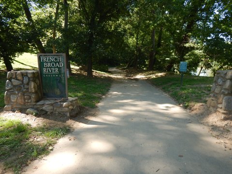
The French Broad River Greenway (4 miles) and Wilma Dykeman Greenway (2.2 miles) currently comprise the longest segments. Running on either side of the French Broad River, these are popular for biking, walking, and running. (Detailed map, photos below.)
Asheville and surroundings suffered severe damage due to Hurricane Helene in Sept. 2024.
Please check local resources before planning a visit.
Location: Asheville, Buncombe County, NC (See map)
Distance: French Broad River Greenway (4 miles); Wilma Dykeman Greenway (2.2 miles)
Trailheads/Parking: Hominy Creek River Park, Carrier Park, French Broad River
Park, Craven Street Bridge Boating Access Area, Jean Kerr Park (for
more, see map)
Surface: Asphalt
Nearby Places of
Interest: Biltmore Estate, Blue Ridge Mountains
Bike Shops/Rentals:
Asheville
Bicycle Company  (rentals, sales, service)
Hearns Cycling  (sales, service)
Liberty
Cycles  (rentals, sales, service)
The Flying Bike  (e-bike tours and rentals)
Youngblood
Bicycles  (rentals, sales, service)
Page Summary:
- Biking in Asheville
- French Broad River Greenway
- Hominy Creek River Park to Carrier Park
- Carrier Park to French Broad River Park to Craven St. - Wilma Dykeman Greenway
- Craven St. Boat Access to Hill St.
- Craven St. Boat Access to Amboy Rd., River Arts District - Visiting Asheville
- More Information and Resources
Biking in Asheville... Comments and Photos
Starting at and returning to Hominy Creek Park, we visited the French Broad River Greenway and Wilma Dykeman Greenway as a loop, connecting by crossing the river on the bridge at Craven St. and re-crossing it at Amboy Rd.
French Broad River Greenway (4 miles)
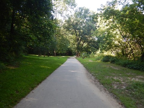
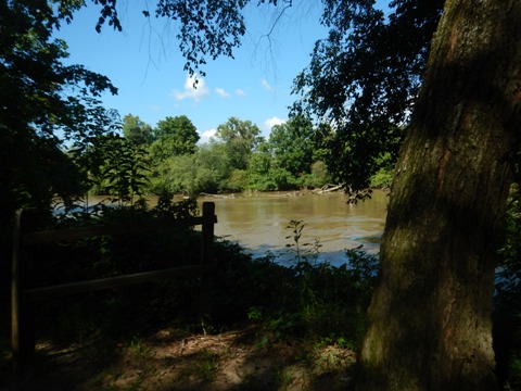
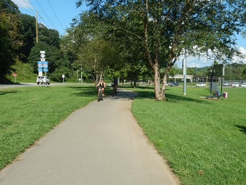
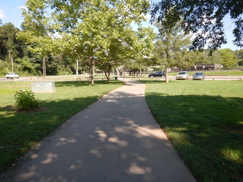
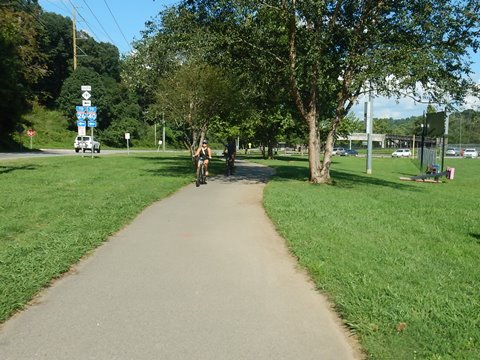
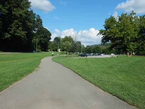
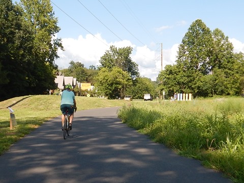
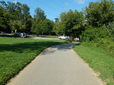
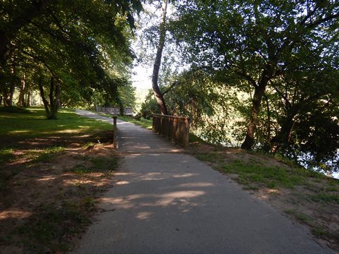
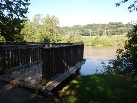
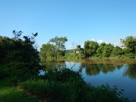
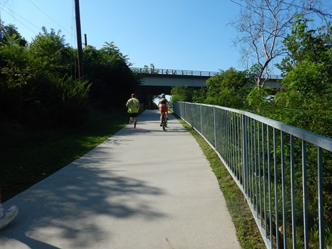
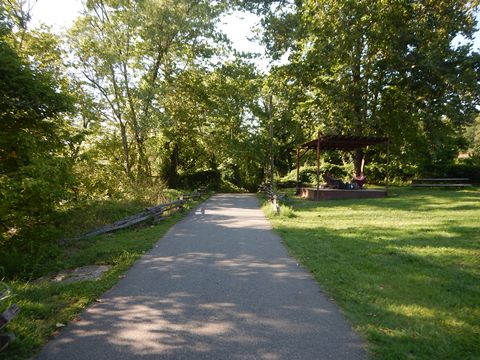
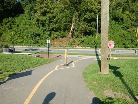
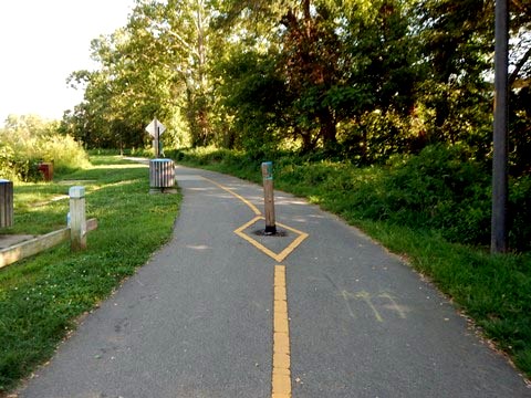
The French Broad River Greenway starts at Hominy Creek River Park and runs north along the western bank of the French Broad River, through Carrier Park and French Broad River Park, and ending at Craven St. This is an easy ride, flat with few crossroads (and underpasses at major crossings), with scenic views along the river.
- The Greenway was developed in several phases. It's a core part of ongoing projects to restore the once-polluted river and redevelop formerly industrial areas for recreational and economic development, road safety, and also flood mitigation.
Hominy Creek River Park to Carrier Park (1.5 miles)
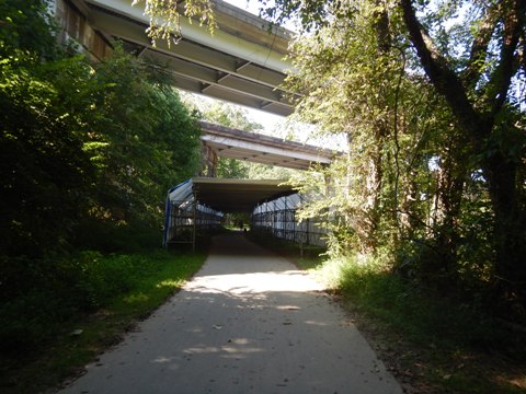
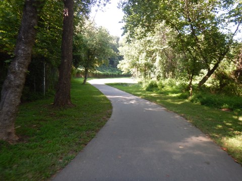
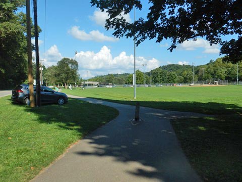
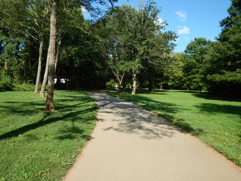
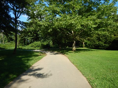
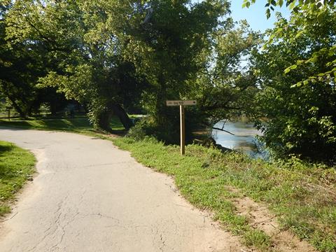
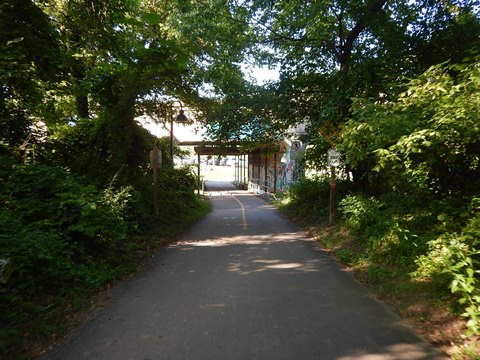
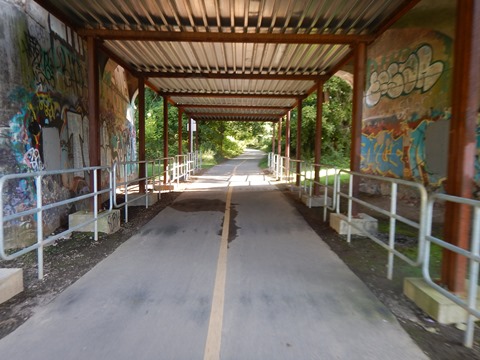
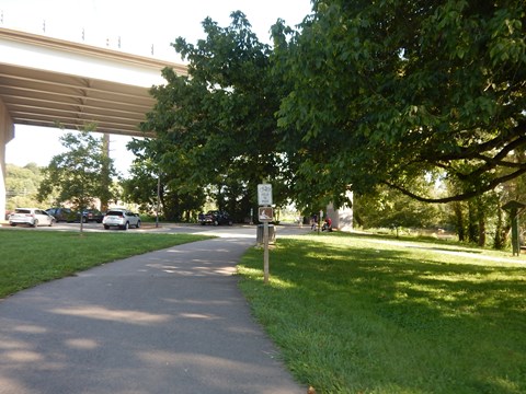
- Starting from Hominy Creek River Park (more below), the trail runs through woodland along the river, crossing under I-40.
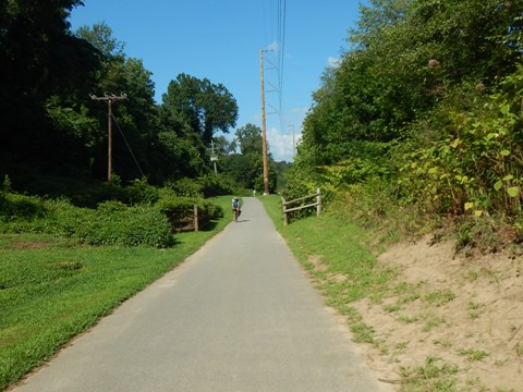
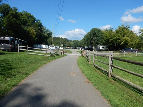
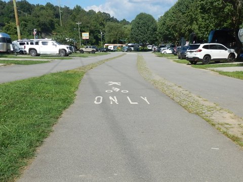
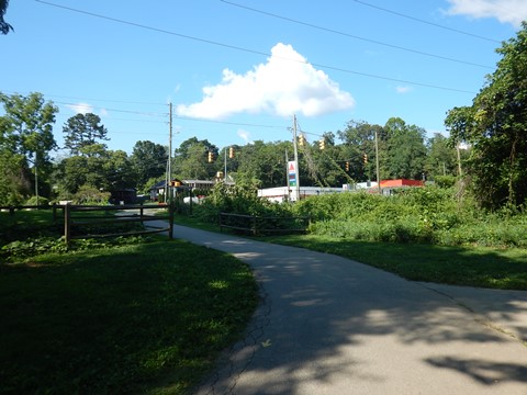
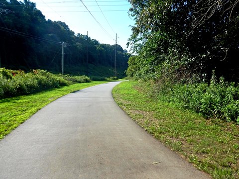
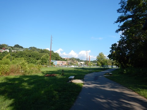
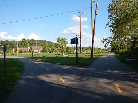
- It continues along the river and a powerline, and emerges along Amboy Rd. at an RV park. Though well-buffered, this is close to I-26/240 and there can be some road noise.
- After passing a commercial area, the trail arrives at Carrier Park (more below).
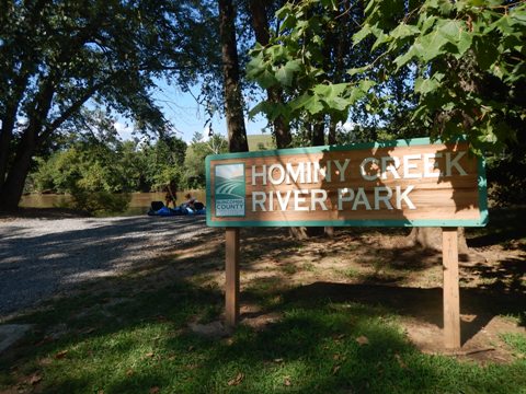
Hominy Creek River Park
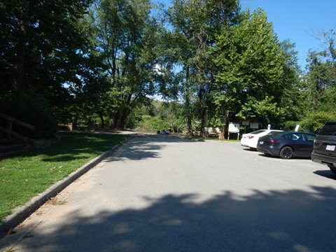
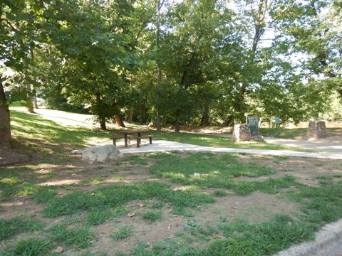
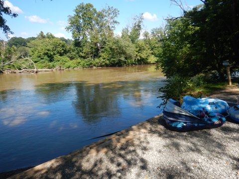
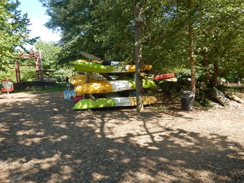
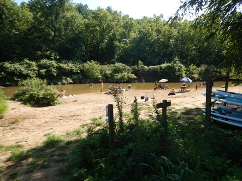
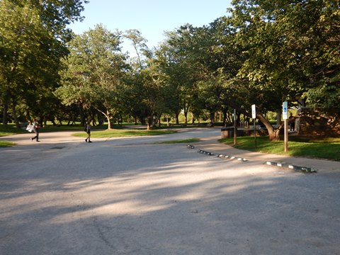
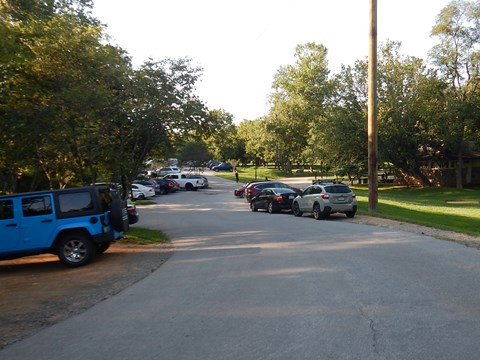
Hominy Creek River Park has parking, porta-potties, picnic tables, and river access. An outfitter (paddling/biking, refreshments) is located next to the park.
Carrier Park
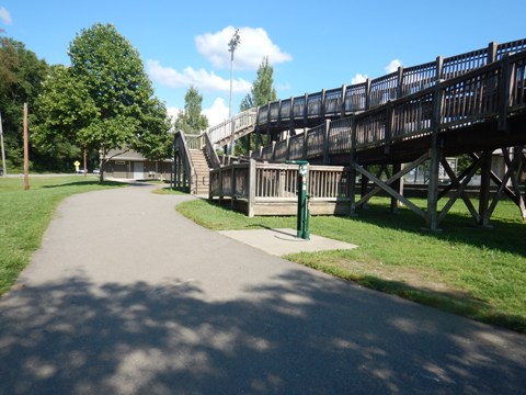
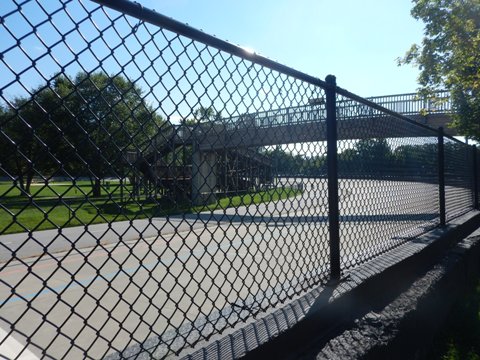
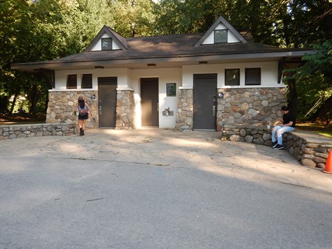
Carrier Park has parking, restrooms, playground, picnicking, fix-it station, and playing fields. The wooden ramp provides access to the velodome ("MelloDome") in the middle.
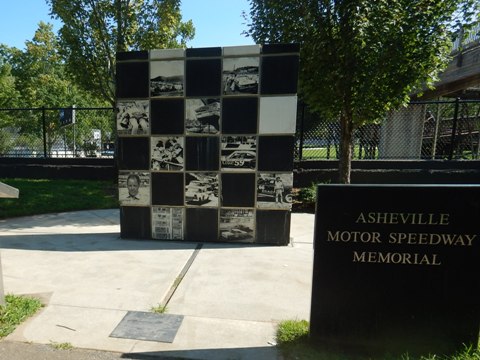
The MelloDome is a multi-use track that was once a dirt racing track. The Asheville Motor Speedway Memorial on site remembers that racing history.
From Carrier Park to Craven St. (2.5 miles)
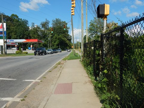
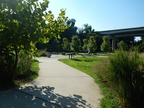
- Past Carrier Park, the trail runs briefly on the sidewalk before turning off back to the river. This section is a pleasant ride through Karen Cragolin Park (parking, educational exhibits) and Amboy Riverfront Park (parking). This was an old industrial area, reclaimed and developed into riverside parkland.
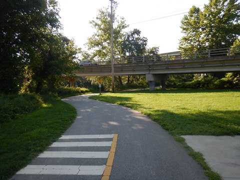
- After going under Amboy Rd., the trail enters French Broad River Park.
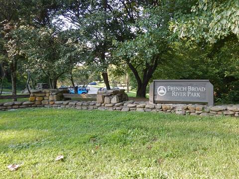
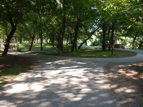
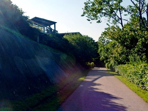
- French Broad River Park has parking, restrooms, picnic tables and grills, gazebo, and a dog park. The trail runs along the river, with a spur looping to parking and dog park.
Carrier Park to French Broad River Park
French Broad River Park
French Broad River Park to Craven St.
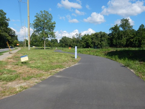
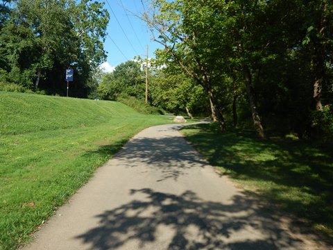
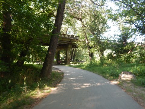
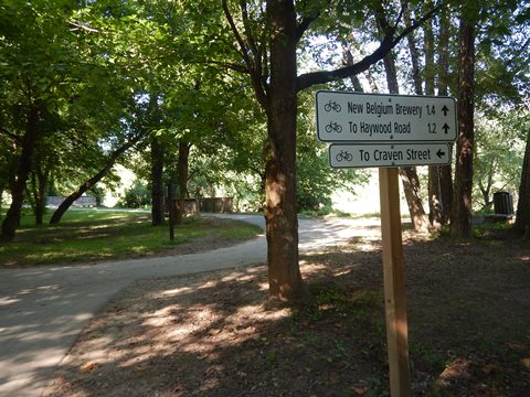
- After leaving the park, the trail is along the river, buffered from the surrounding area by a power corridor (about 1 mile). There is no road access through this section and limited shade. It crosses under Haywood Rd. and past a brewery (with trail access) approaching Craven St..
- Just past Craven St. is a public parking lot extending under I-26/240.
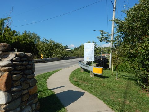
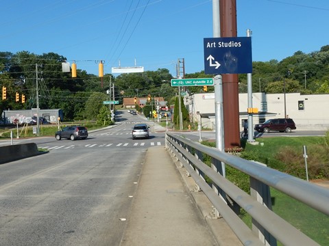
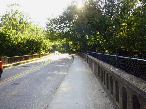
- At Craven St. a sidewalk path on the bridge crosses the river to the River Arts District and Wilma Dykeman Greenway.
Wilma Dykeman Greenway (2.2 miles)
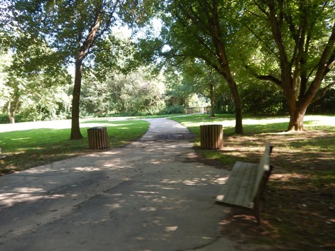
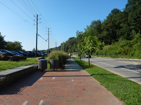
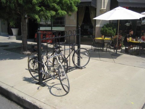
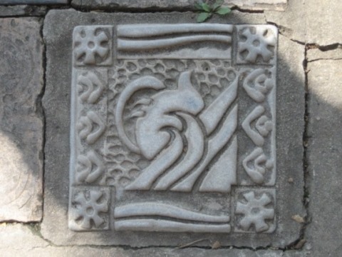
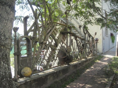
The Wilma Dykeman Greenway runs for 2.2 miles along the eastern bank of the French Broad River. This is an easy ride with few crossroads and underpasses at major roads. Benches, bike racks, public art, and directional signs are along the way.
- The Greenway was developed as part of Asheville's waterfront redevelopment program for the River Arts District. It was named in honor of Asheville author and environmental activist Wilma Dykeman who fought for protection of the river.
Craven St. Boat Access to Hill St.
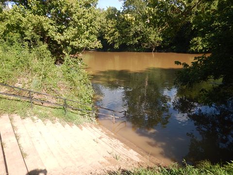
- After crossing the bridge from the French Broad River Greenway, the path intersects with the Wilma Dykeman Greenway. The Craven Street Bridge Boating Access Area here is a public boat ramp, with parking available.
- North from the boat ramp, the trail passes under Craven St. and then under I-26/240 (parking). Past the railroad trestle, the dedicated path ends at Riverside Dr. We ended our ride here, but the trail continues as a bike lane or on the sidewalk to Hill St. Future plans are to extend this section.
Craven St. Boat Access to Amboy Rd.
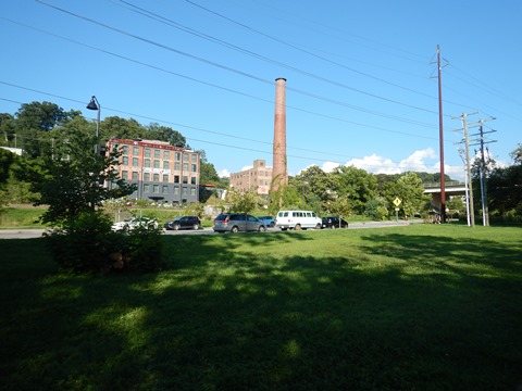
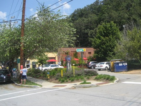
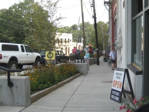
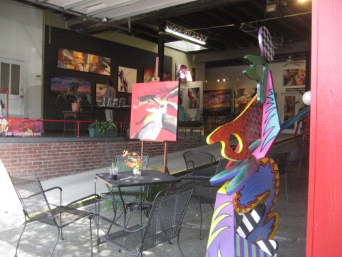
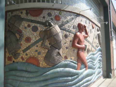
- South from the boat ramp is a more urban area. The greenway runs between the river and Lyman St. through the River Arts District (restaurants, shops, art studios, galleries) to Amboy Rd.
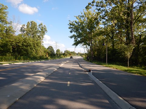
- Running parallel to the greenway is a cycle track, a 2-way protected bike lane between the trail and Lyman St. - a real bonus for through-bikers.
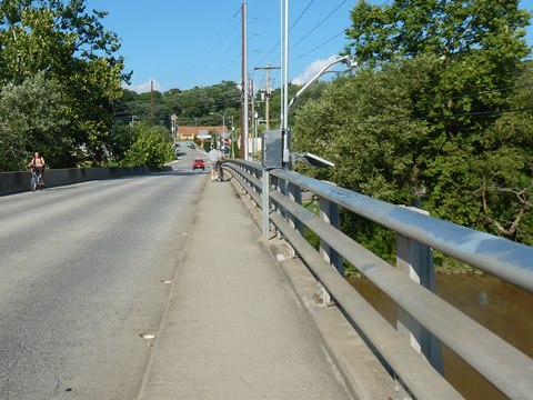
- The trail and cycle track end at Amboy Rd., then a sidewalk path crosses the bridge over the river to return to French Broad River Park. Here we reconnect to the French Broad River Greenway, completing our loop, then return to parking.
Visiting Asheville
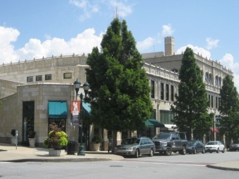
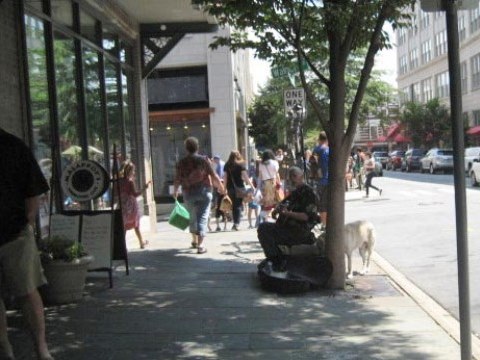
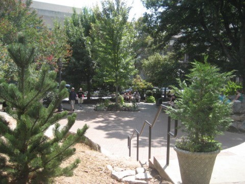
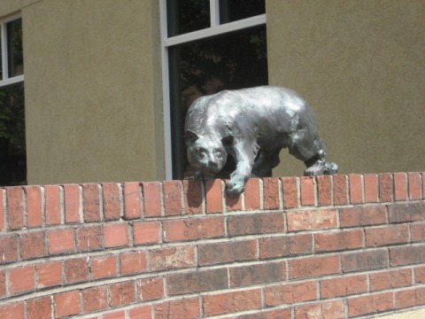
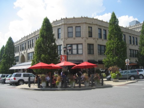
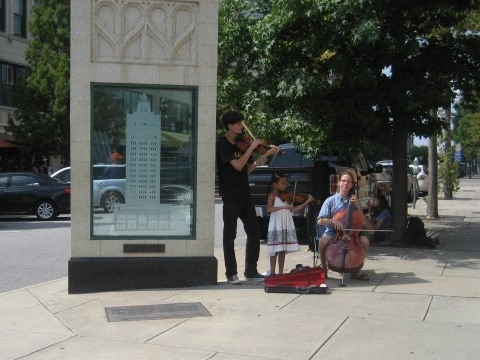
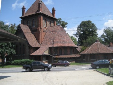
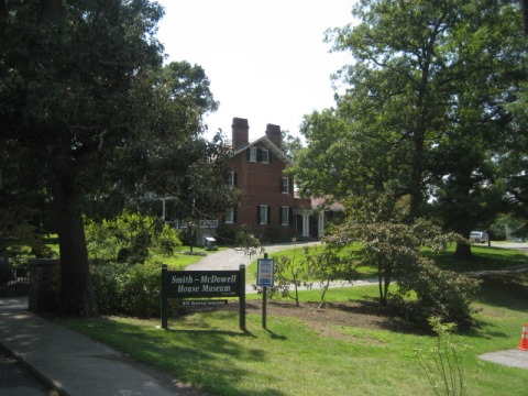
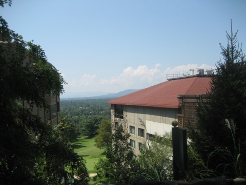
Misc. Views Around Town
River Arts District
More Information and Resources
More Biking:
Bike-North Carolina - More
bike trails and information about biking in North Carolina
Related Resources:
City of Asheville:
- French Broad River Greenway 
- Wilma Dykeman Greenway 
- Asheville's Greenways 
- Asheville's Riverfront Parks 
Support and Advocacy:
Asheville on Bikes 
RiverLink 
Copyright © BikeTripper.net. All Rights Reserved. Have Bikes - Will Travel
