Bike Tripper
Have Bikes, Will Travel
Bike Trail Maps & Photos Galore
You are here > Home >
North Carolina >
Brevard Bike Path (Estatoe Trail)
Updated: August 2024
Brevard Bike Path, aka the Estatoe Trail...
Part of a Growing Greenways System in Brevard, North Carolina
The Brevard Bike Path (formally the Estatoe Trail) is the "spine" of a growing Brevard, NC Greenways system. The trail runs from Main Street in Downtown Brevard to the Art Loeb Trailhead in Pisgah National Forest. It has two personalities: a 4-mile paved section running through Brevard, and a scenic 1.5 mile unpaved section in the Pisgah National Forest beside the Davidson River. (Detailed map and photos below.)
Location: Brevard, Transylvania County, NC (See map)
Distance: 6.35 miles (includes connectors, 7.5 when complete)
Trailheads/Parking: Depot Railroad Ave. Park, Brevard Sports Complex, Art Loeb Trailhead
Surface: 10 ft., asphalt, gravel
Bike Shops/Rentals:
Earth
Mountain Bicycle  (Brevard; rentals, sales, service)
The Hub  (Pisgah Forest; rentals, sales, service)
Sycamore
Cycles  (Pisgah Forest, Hendersonville; rentals, sales, service)
Page Summary:
- Biking the Brevard Bike Path
- Trail in Brevard (paved)
- Sports Complex to Main St.
- Sports Complex to Asheville Hwy. - Trail in Pisgah National Forest (unpaved)
- Art Loeb Trailhead to Asheville Hwy. - More Information and Resources
Biking the Brevard Bike Path... Comments and Photos
Note: in the carousels below, trail photos are in-sequence to give you a good "feel" for each part of the ride. The Brevard, NC area is well-known for mountain biking, but developing additional multi-use bike trails is part of the Brevard Bicycle and Pedestrian Plan to create a more walkable and bikeable town. Also in the planning stages is the Ecusta Trail, a 19-mile rail-trail between Brevard and Hendersonville.
Paved Trail in Brevard
Sports Complex to Main St. (3.25 miles)
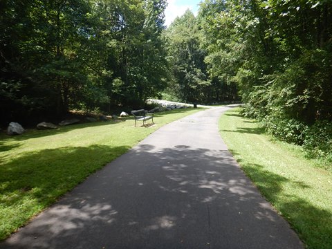
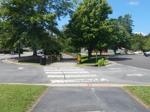
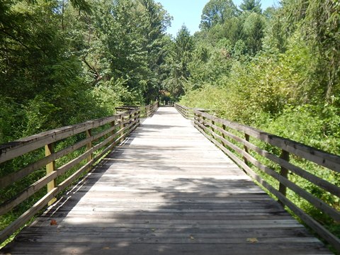
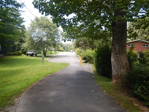
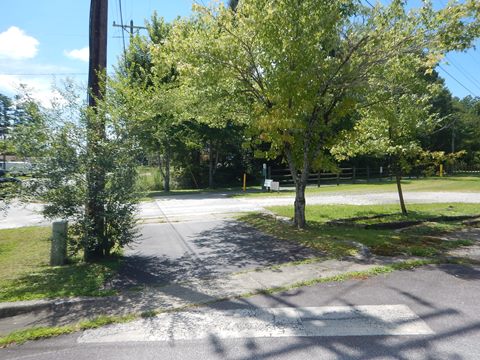
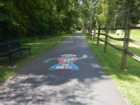
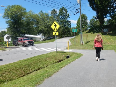
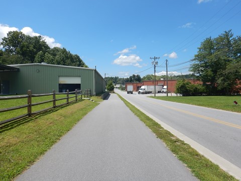
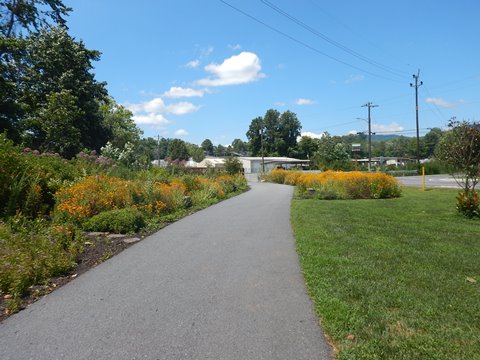
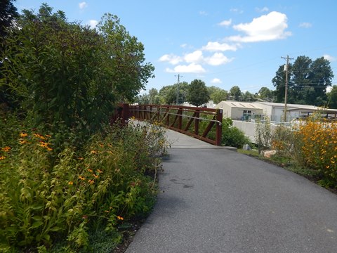
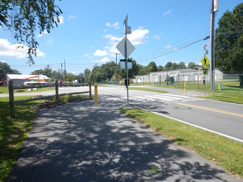
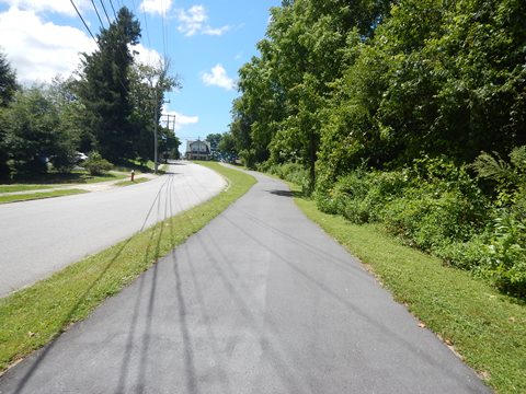
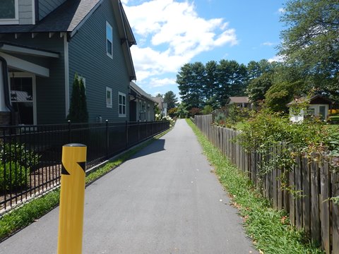
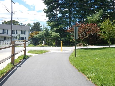
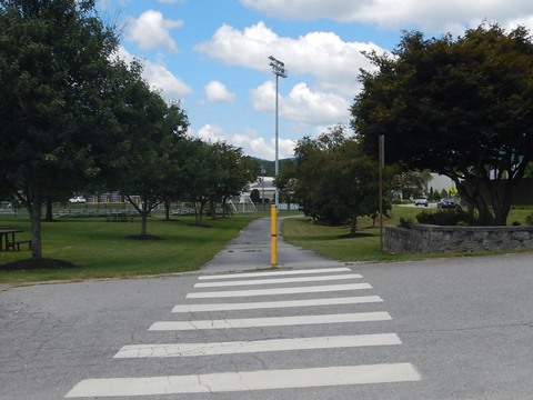
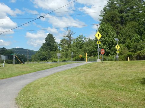
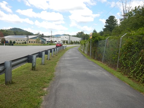
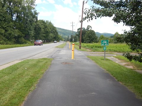
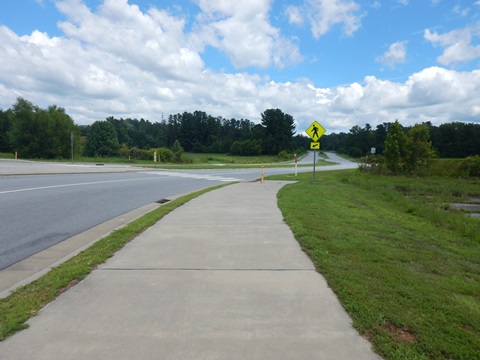
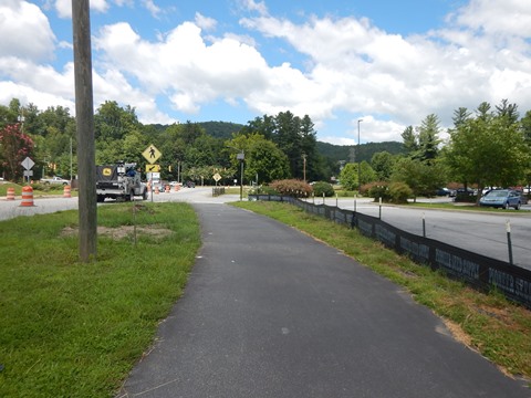
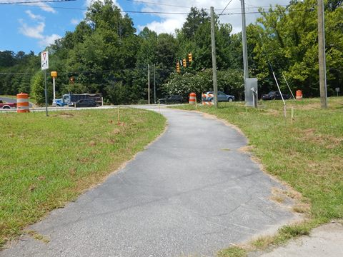
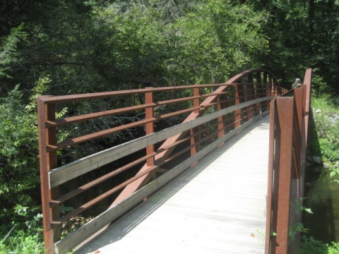
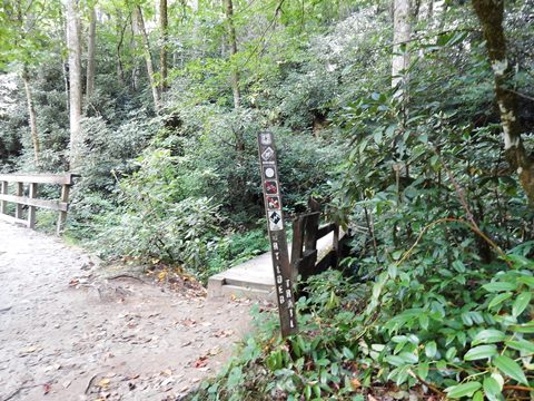
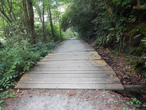
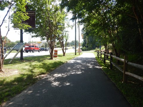
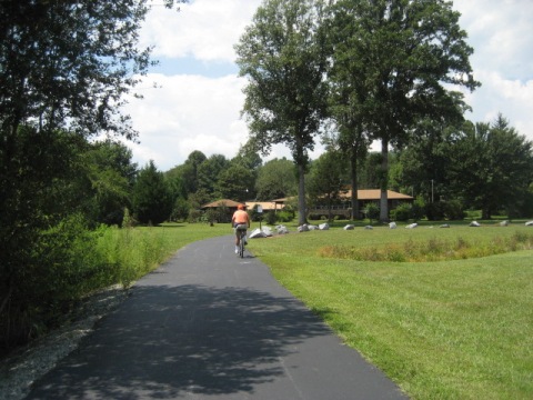
The in-town section of the trail is fully paved, easy to ride, with mixed sun and shade and a few moderate grades. Popular for biking, walking and running, it provides access to schools, parks and other facilities. Sections run through wooded areas with boardwalks over streams and wetlands; other sections run alongside the road as more of a sidewalk and one short section is on-road. There are several road crossings, some with crosswalks and signals. Benches and a few interpretative signs are located along the way, but we found some junctures confusing. More trail route signs would be helpful. Other short side trails connect to the main trail.
Sports Complex to Fisher Rd.
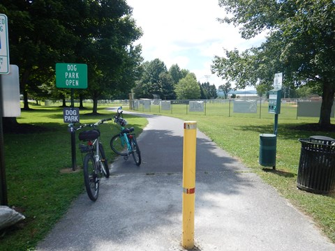
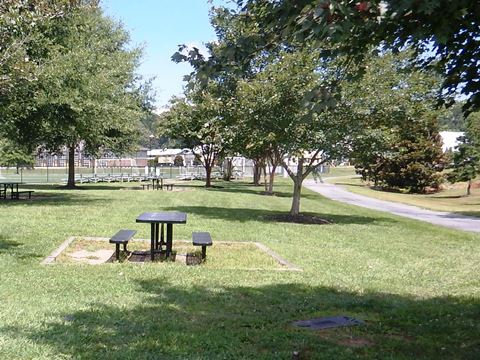
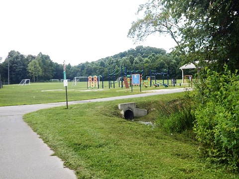
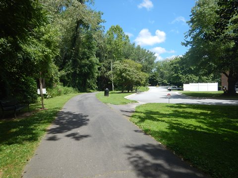
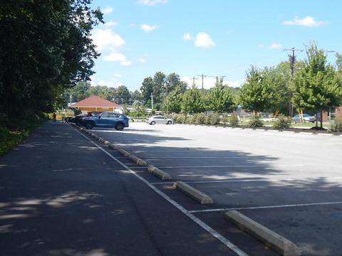
- The Brevard Sports Complex has parking, restrooms, picnic tables, playground, dog park, and playing fields. South from the parking area, the trail passes playing fields, the dog park, and the Jameson's Joy Memorial Firnbess Park (parking, fitness course, picnic pavilion).
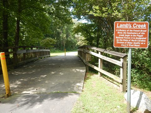
- The trail then meanders through a wooded area circling Transylvania Regional Hospital, and crosses over Lamb Creek before emerging roadside along Asheville Hwy./N. Broad St.
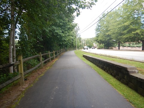
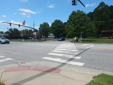
- The trail continues beside the road for about 3/4 miles. After passing Blue Ridge Community College cross the road very carefully and continue a short distance to where the trail cuts away again, goes over a boardwalk, and then emerges onto Poplar St. where it shares the roadway for 500 ft. to Fisher Rd.
Fisher Rd. to Main St.
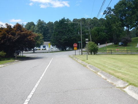
- At Fisher Rd. is a connector to Brevard Middle School. It was unclear where to go, more signage would be helpful here. Stay on the trail by going to the left, crossing diagonally, then off the road to McLean Rd.
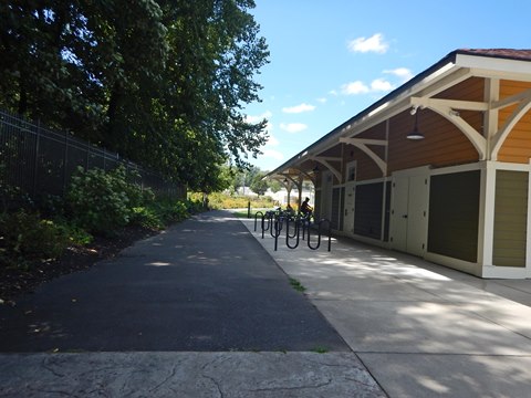
- Cross McLean Rd., onto Railroad Ave. to arrive at Depot Railroad Ave. Park (parking, restrooms, picnic, fix-it station). Continue across a bridge over King Creek, follow Railroad Ave. to its end at Probart St., then go straight past some homes to trail end at Main St.
- Be careful at road crossings.
- Note: Side streets lead into central Brevard and to Brevard College. Turn off onto King St. for restaurants and brewery for refreshments.
Sports Complex to Asheville Hwy. (0.75 mile)
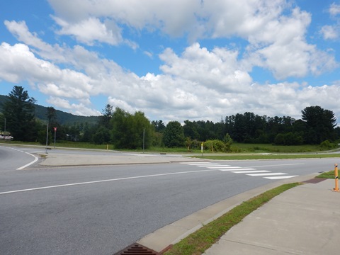
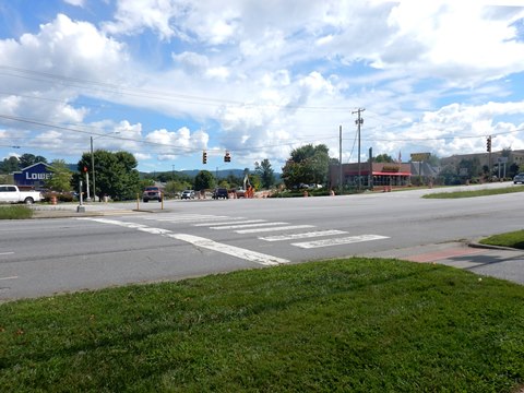
- North from the Sports Complex, the trail runs alongside Ecusta Rd. Cross the Ecusta Bypass at the roundabout (be careful), then the trail passes the Lowe's store and comes to Asheville Hwy. (US 64).
- This is a busy road, cross carefully to continue into the Pisgah National Forest to Art Loeb Trailhead.
Trail in Pisgah National Forest
Art Loeb Trailhead to Asheville Hwy. (1.4 miles)
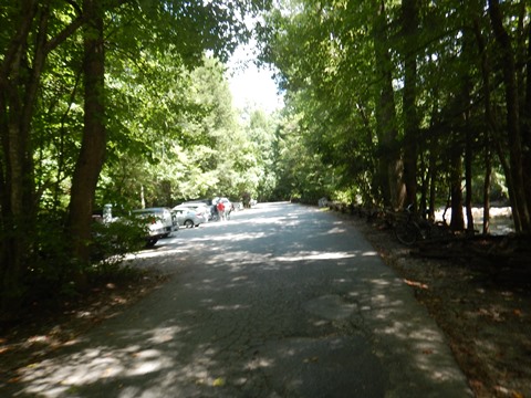
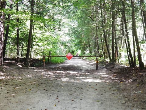
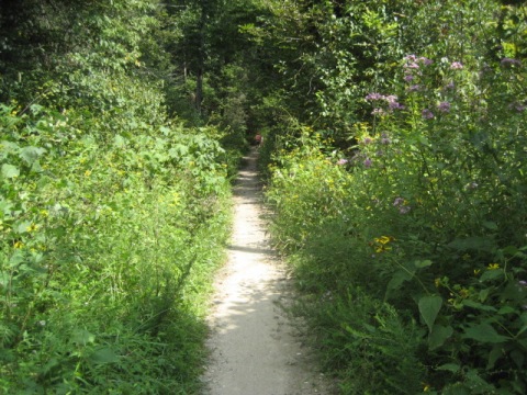
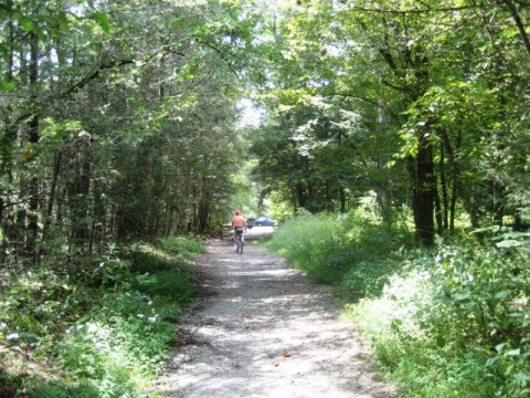
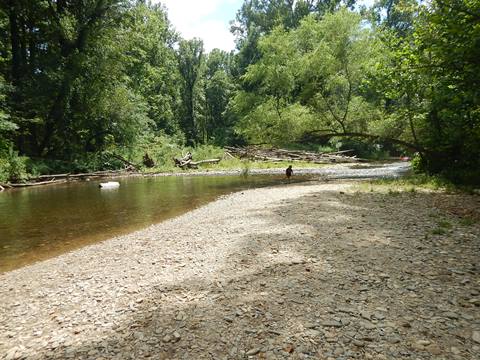
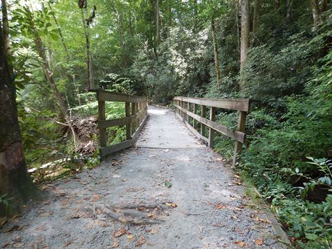
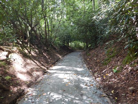
Starting from the north end at the Art Loeb Trailhead near the Davidson River Campground, the trail runs on gravel through Pisgah National Forest along the Davidson River. Fat wheel or mountain bikes are best here, some sections are fairly smooth and wide, but others can be rocky or narrow.
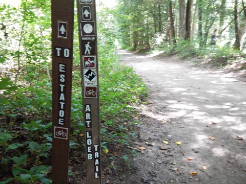
- The first 3/4 mile is shared with the Art Loeb Hiking Trail, then the hiking trail turns off and the Estatoe Trail continues unpaved to Asheville Hwy.
- Pisgah National Forest has many recreational options, and is known for its many waterfalls. The Art Loeb Trail runs for 30 miles north through the forest to the Daniel Boone Boy Scout Camp in Haywood County.
More Information and Resources
More Biking:
Bike-North Carolina - More
bike trails and information about biking in North Carolina
Related Resources:
City of Brevard - Bike Brevard 
Pisgah National Forest 
Art Loeb hiking trail 
Support and Advocacy:
Friends of Brevard Area Trails 
BikeWalk NC 
Conserving Carolina 
Copyright © BikeTripper.net. All Rights Reserved. Have Bikes - Will Travel
