Bike Tripper
Have Bikes, Will Travel
Bike Trail Maps & Photos Galore
You are here >
Home >
Ohio >
River Trail (Marietta)
Reported: June 2016
Marietta River Trail...
Scenic Ohio River Trail
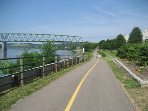
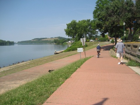
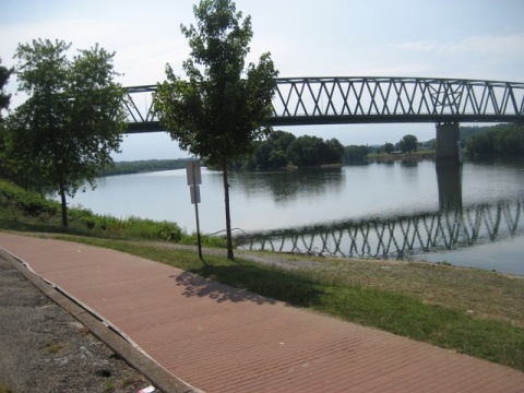
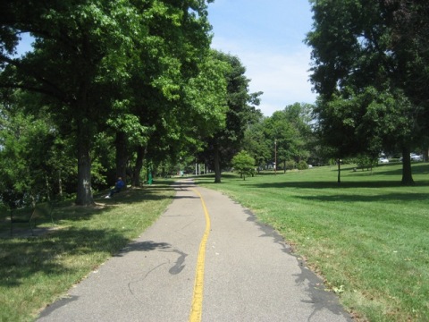
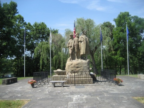
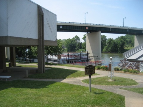
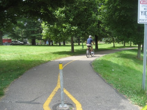
The River Trail runs 3.5 miles along the Ohio and Muskingum Rivers at Marietta, across the river from West Virginia. The paved trail goes through downtown, with access to shops and restaurants. It links several parks along the river front, with scenic river views. Interesting historic sites are along the trail - in 1788, Marietta was the first permanent settlement in the Northwest Territory as the U.S. expanded westward. Sternwheeler river excursions are available from the landing at the Ohio River Museum along the trail. Some sections go through commercial or residential areas, as well. The trail is shared with pedestrians, there were many baby strollers too, so keep aware. (Detailed map and photos below.)
Location: Marietta, Washington County, Ohio (See map)
Distance: 3.5 miles
Surface: Asphalt
Bike Shops/Rentals:
Marietta Adventure Company  (rentals, sales, service)
Biking Ohio River Trail
Scenic Riverside
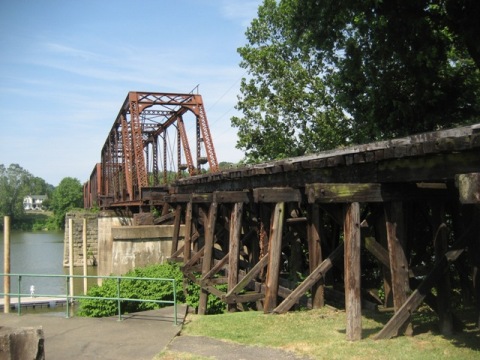
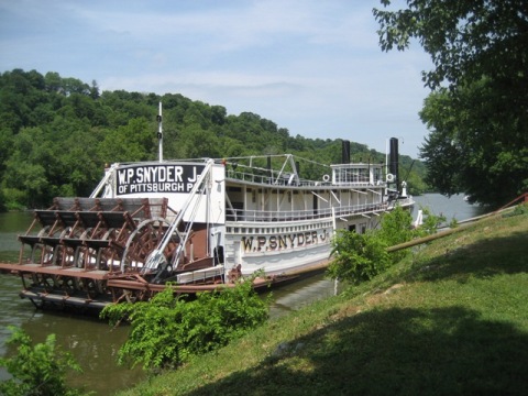
Very scenic. Approaching from the east along the Ohio River, the trail then runs through Riverside and Muskingum Parks to its end at Indian Acres Park. Levee House (restaurant) is the oldest remaining original waterfront structure (1826). The Harmar Bridge is an old railroad bridge converted to pedestrian/bike use. The WP Snyder (at the Ohio River Museum) is a sternwheel towboat, used to tow barges; guided tours are available.


More Information and Resources
More Biking:
Bike-Ohio - More bike
trails and information about biking in Ohio
Related Resources:
City of Marietta -
The River Trail

Copyright © BikeTripper.net. All Rights Reserved. Have Bikes - Will Travel