Bike Tripper
Have Bikes, Will Travel
Bike Trail Maps & Photos Galore
You are here > Home >
Tennessee >
Maryville-Alcoa Greenway Trail
Reported: August 2024
Bike Tennessee... Maryville-Alcoa Greenway Trail
A Network of Connected Paved Bike Trails
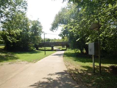
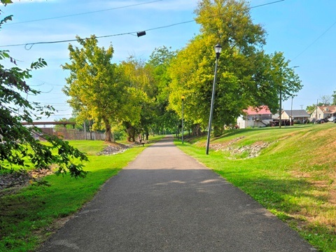
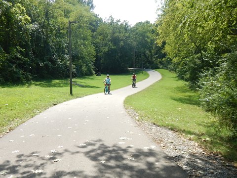
The paved Maryville-Alcoa Greenway Trail winds through Maryville and Alcoa, Tennessee. The trail "spine" runs 9 miles following Pistol Creek - with spurs, loops and connectors, the total grows to 18+ miles. Extensions are under construction, with more planned. The Greenway connects parks, schools, neighborhoods, and businesses. Parks provide parking and restrooms, with food and shopping nearby.
Location: Blount County, TN (Maryville, Alcoa) (See map)
Distance: 9 miles, 18+ with loops, spurs and connections
Surface: Paved
Nearby Points of Interest: Knoxville, Great Smoky
Mountains National Park
Bike Shops/Rentals:
Cycology
Bicycles  (rentals, sales, service,
group rides)
Maryville Bike & Trail  (sales, service,
group rides)
Page Summary:
- Biking the Maryville-Alcoa Greenway Trail
- Greenway at Alcoa
- Springbrook Park to MM-0 - Greenway at Maryville
- Pearson Springs Park to MM-0
- Bicentennial Heritage Park - Spurs and Connectors
- North Greenway Trail spur
- Richard Williams Park Spur - More Information and Resources
Biking the Maryville-Alcoa Greenway Trail... Comments and Photos
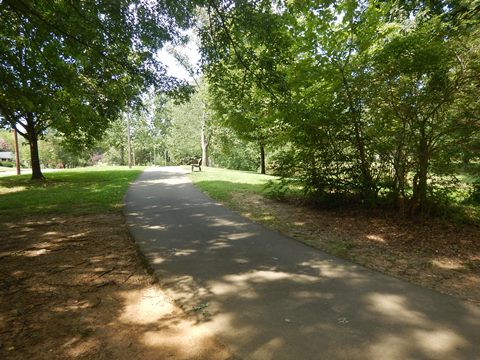
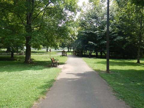
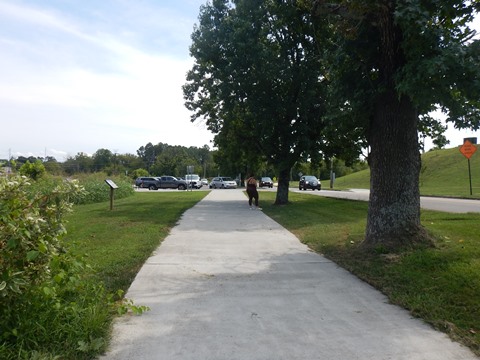
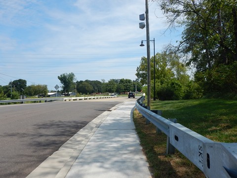
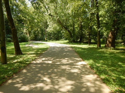
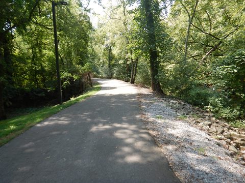
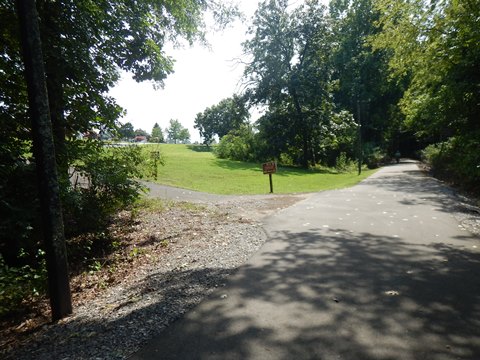
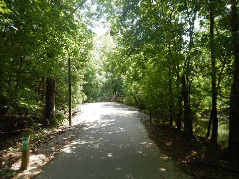
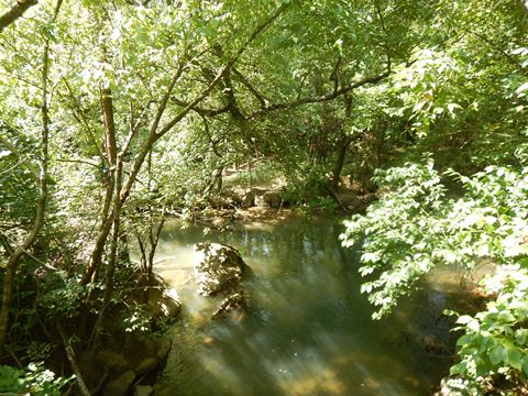
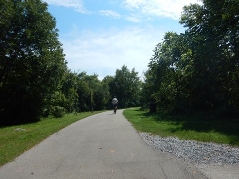
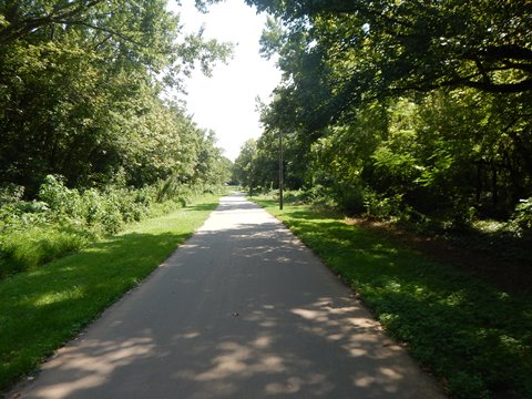
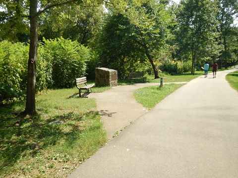
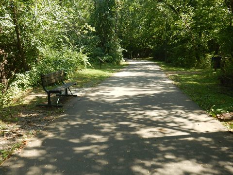
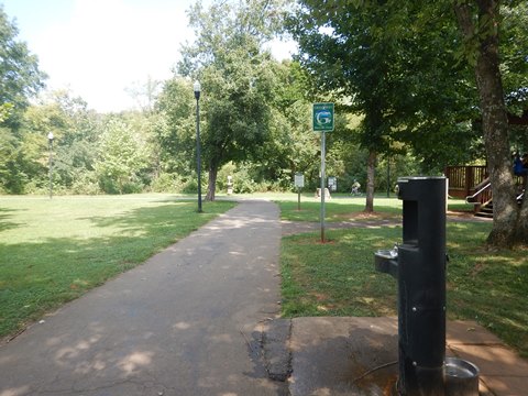
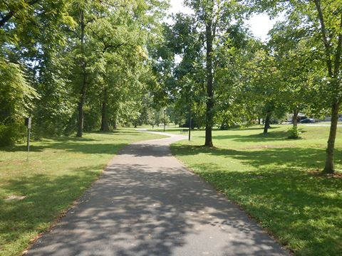
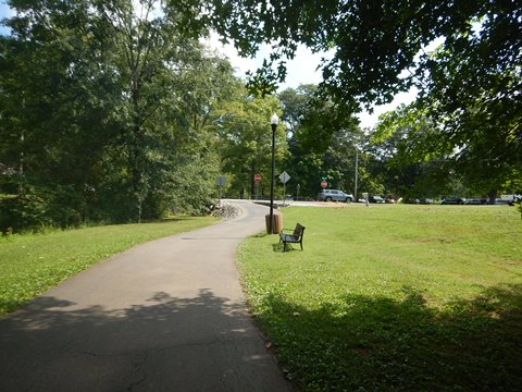
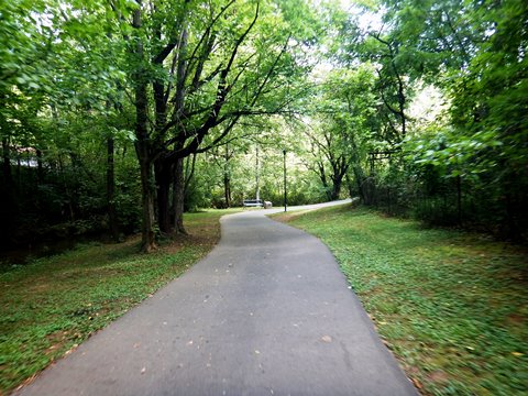
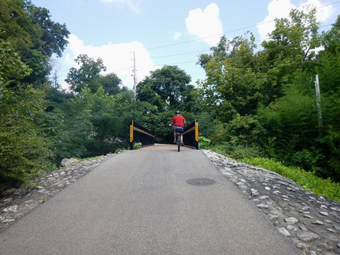
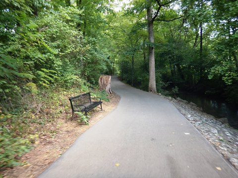
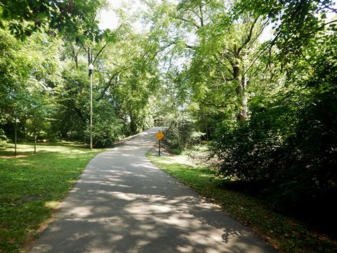
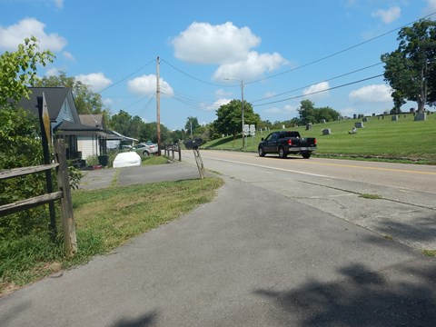
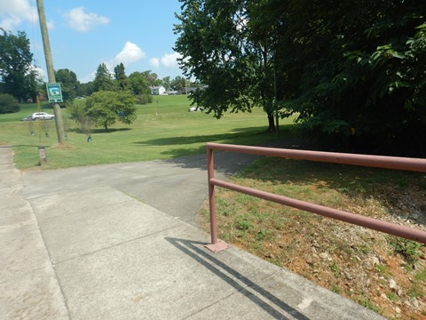
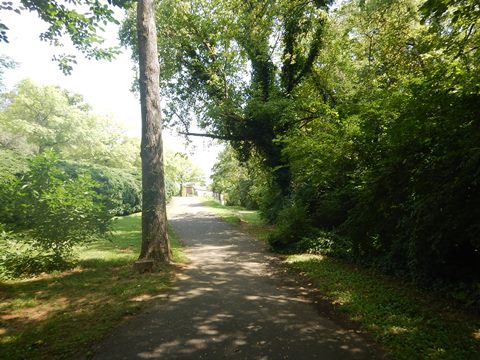
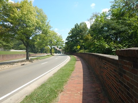
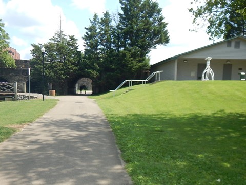
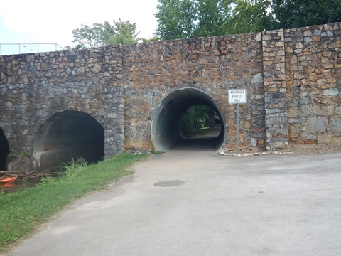
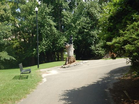
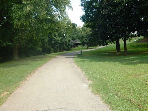
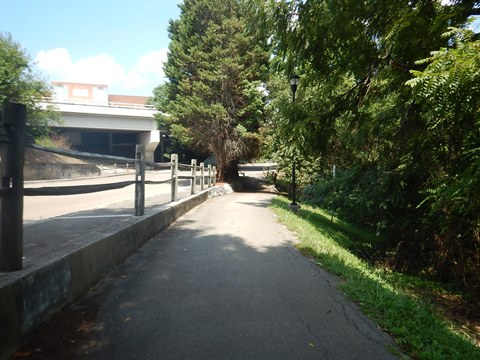
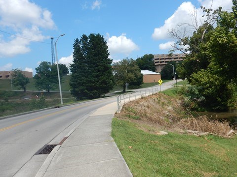
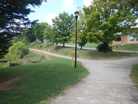
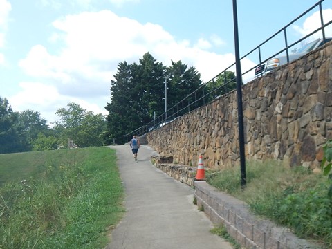
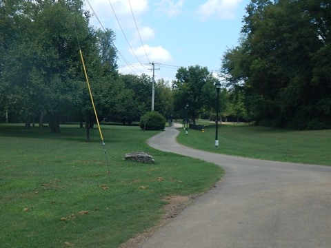
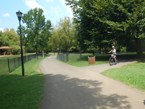
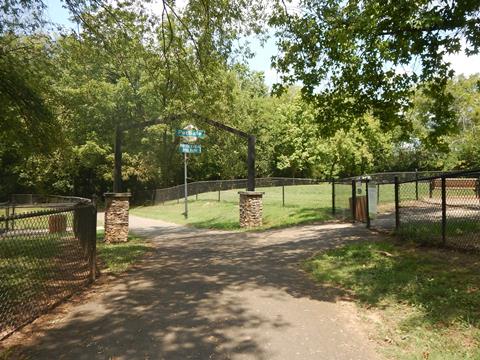
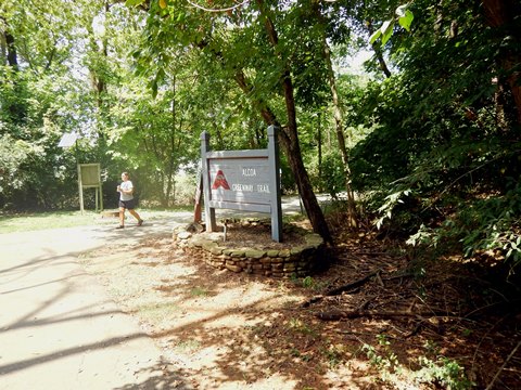
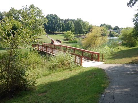
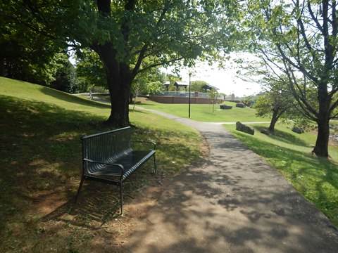
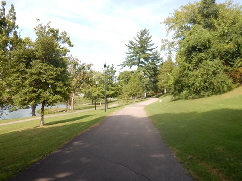
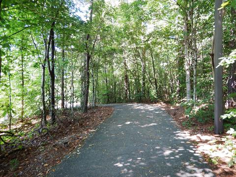
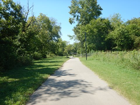
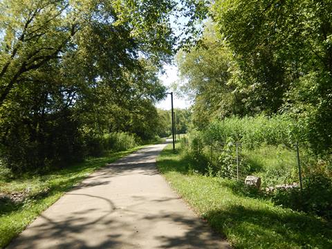
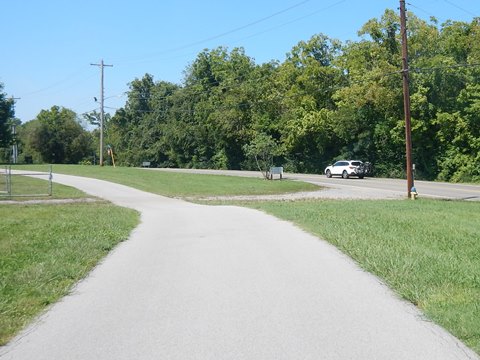
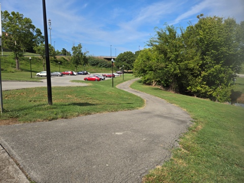
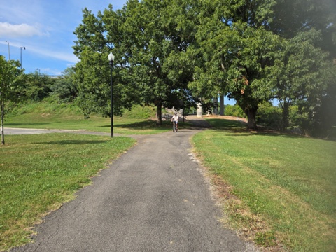
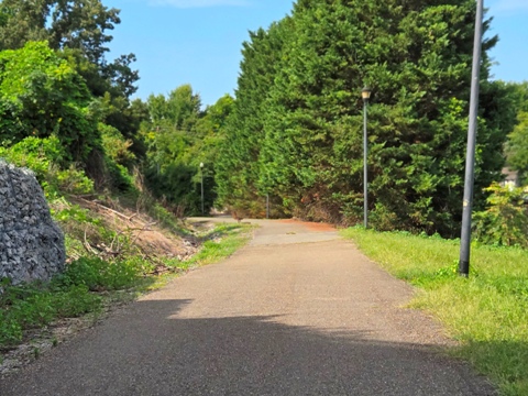
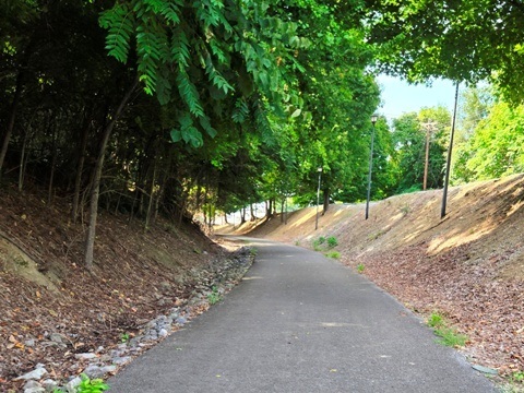
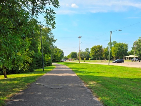
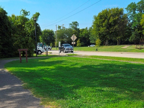
The Greenway and its spurs are very diverse, running through wooded areas and fields along Pistol Creek, through parks and business areas. We liked the northern (Alcoa) section due to the scenic ride along Pistol Creek. While others may prefer the more diverse ride at Maryville (south), overall we found this a worthwhile visit. The trail is easy to ride, with few road crossings and underpasses at major roads. Some sections run roadside, but mostly away from roads or with wide buffers making it hard to believe this is the middle of town. Mile markers, interpretative and historic signs, and benches are located along the way.
We biked the main trail between Springbrook Park (Alcoa) and Pearson Springs Park (Maryville), and visited two spurs: the North Greenway Trail spur, and connector to Richard Williams Park.
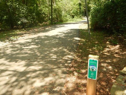
- The mile markers count down to MM-0 in Alcoa, then re-start counting up in Maryville.
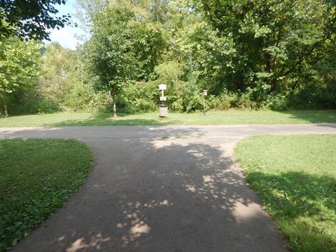
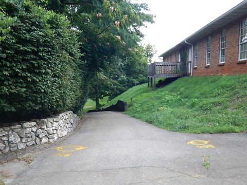
- More signage would be helpful! There are many spurs and connectors and a couple of times we found ourselves on a spur rather than the main route.
Greenway at Alcoa (5 miles)
Springbrook Park to MM-0
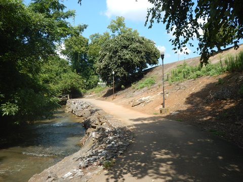
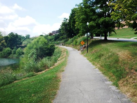
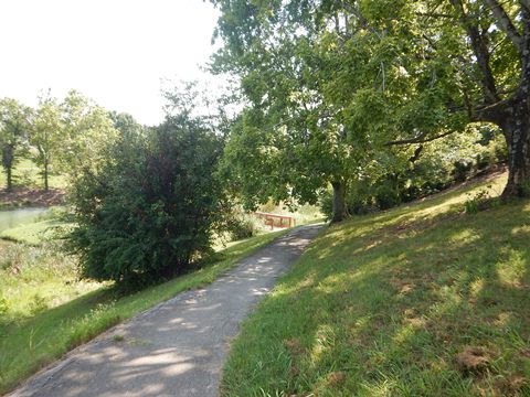
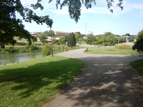
Here we visit north to south. Although less diverse than the Greenway in Maryville, we enjoyed the long, scenic stretch along Pistol Creek.
This section includes:
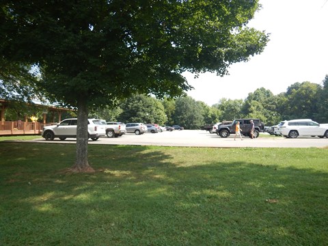
- Springbrook Park (parking, restrooms, picnic)
- Alcoa Duck Pond (parking, benches)
- Alcoa Schools complex (elementary, intermediate, middle, high schools)
- Hall Park (parking, picnic)
- Alcoa Greenway Trail memorial
Springbrook Park and Alcoa Duck Pond
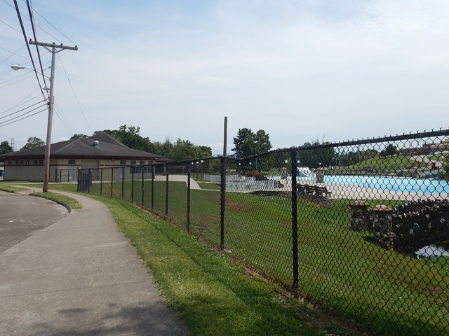
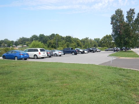
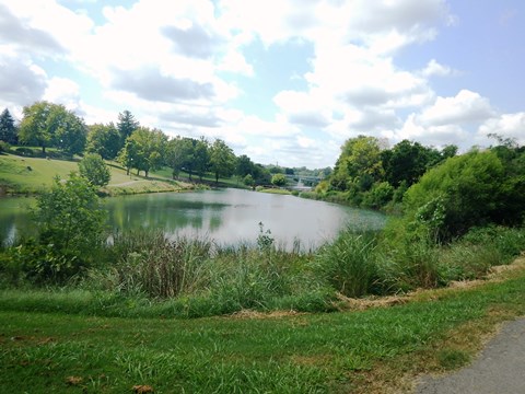
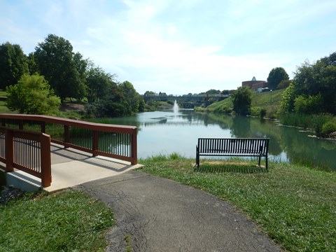
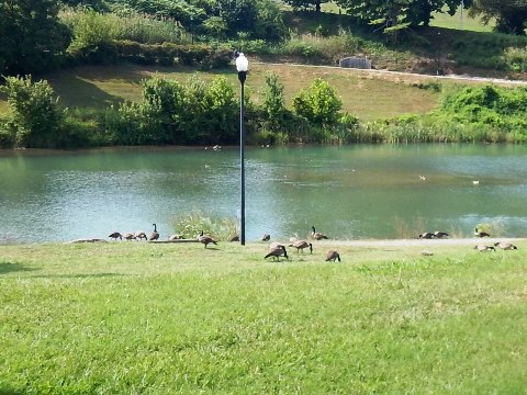
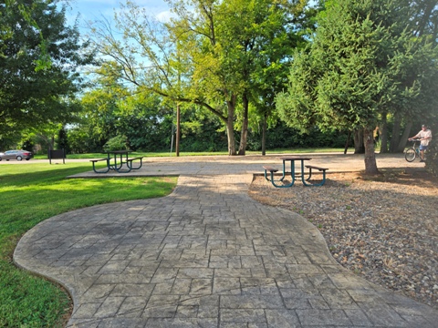
Almost 2 miles of the Maryville-Alcoa Greenway runs through and loops around Springbrook Park. The scenic park is a local gem with something for everyone from a peaceful walk to athletic events. Facilities include parking, restrooms, picnicking, playgrounds, recreation center, pool, sports fields, 8-acre Duck Pond for fishing.
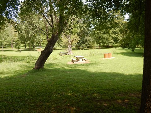
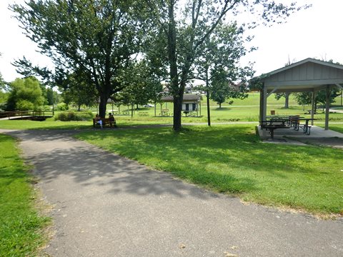
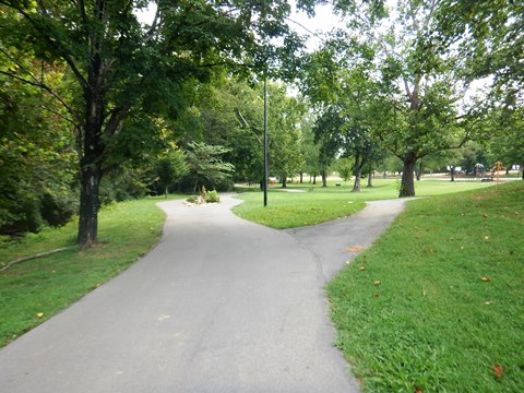
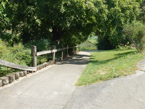
- The trail loops the park at its northern end, mostly shaded, with open spaces, picnicking, and interpretative/historical markers.
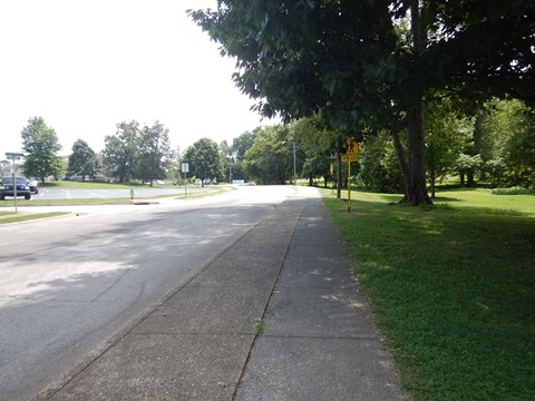
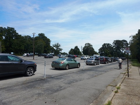
- Emerging at Darwin St., the trail runs roadside to the Springbrook Pool. Parking is adjacent.
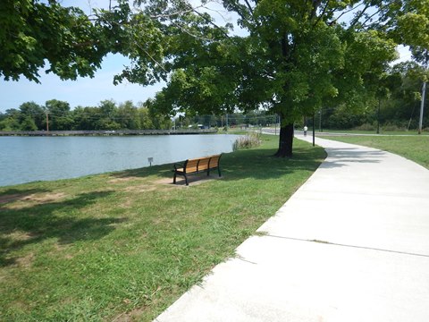
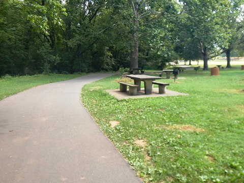
- It then branches off through a picnic area with restrooms to Springbrook Rd. and the Alcoa Duck Pond (parking, benches, fishing, ducks). A path also circles the pond. The Alcoa Schools Complex surrounds this area, linked by a network of pathways.
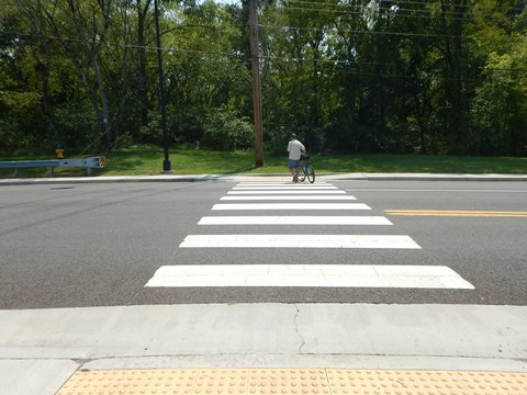
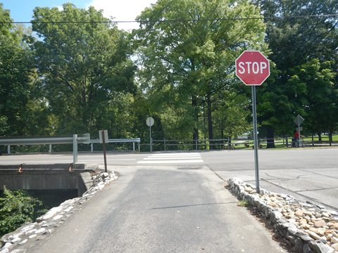
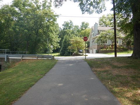
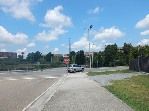
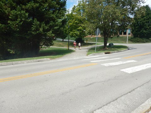
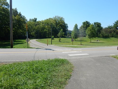
- Carefully cross Springbrook Rd. at Park Rd. to continue.
Alcoa Duck Pond to Hall Rd.
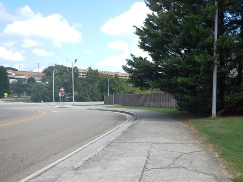
- This section starts running roadside along Springbrook Rd. to the roundabout at Edison St. Take the first right onto Edison. (Note: There are a couple of spurs here, including the North Greenway spur [more below], but no signage to give directions).
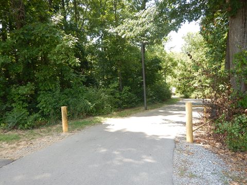
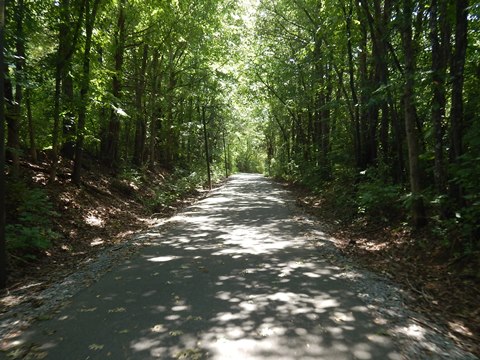
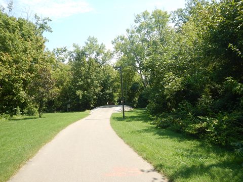
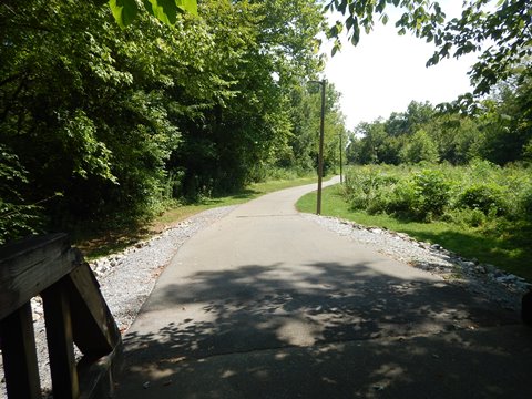
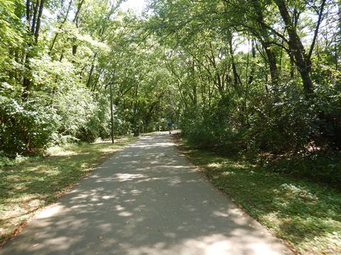
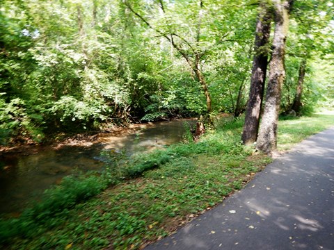
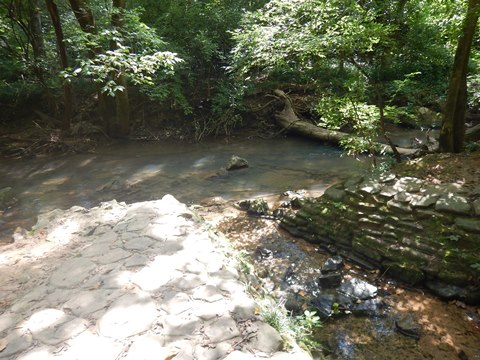
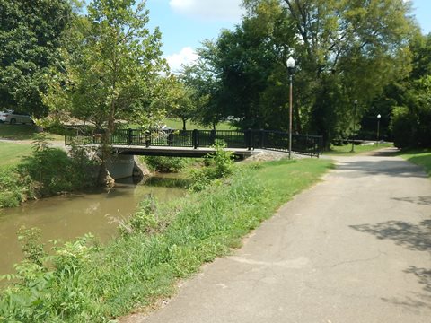
- In about 2/10 mile, the trail turns off back along Pistol Creek, entering a shaded, wooded section. from this point, there are no road crossings.
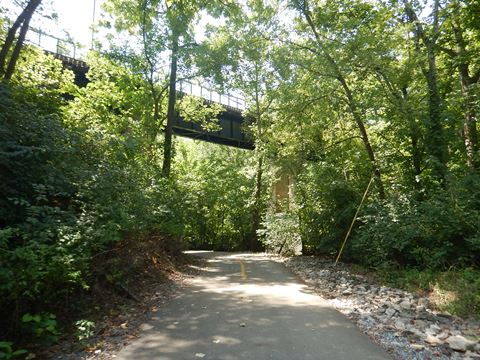
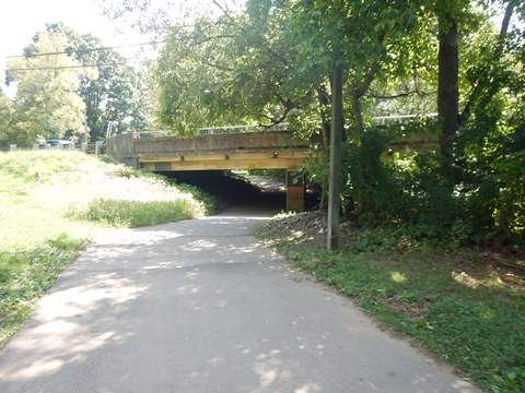
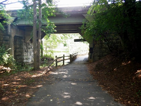
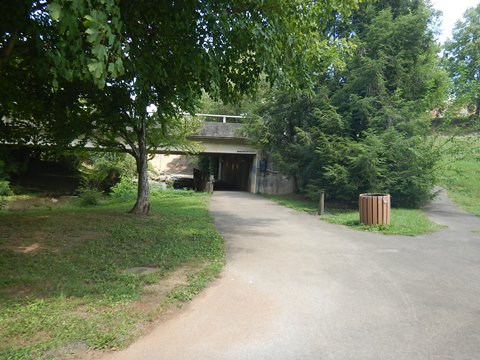
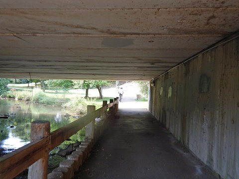
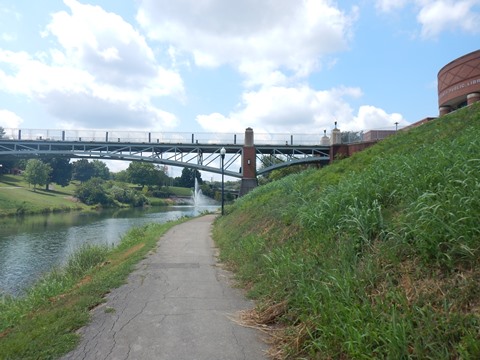
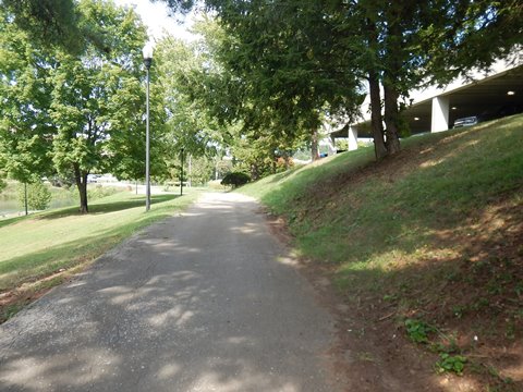
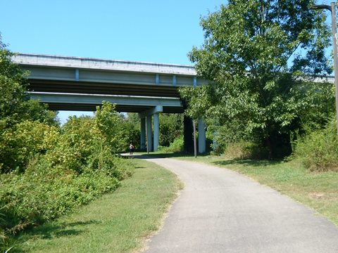
- The trail crosses the creek and runs under the Alcoa Greenway Bridge. A spur to the left leads to the MLK Jr. Community Center and Hall Park (parking, picnic).
Hall Road to MM-1.2
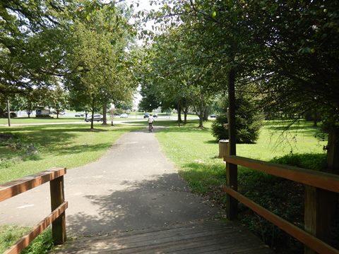
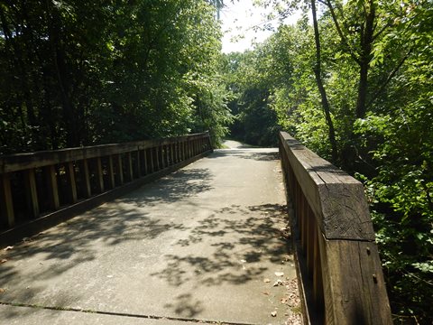
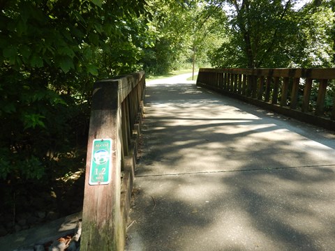
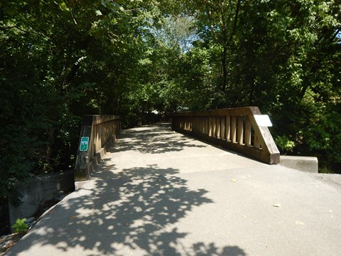
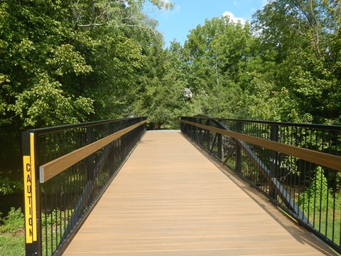
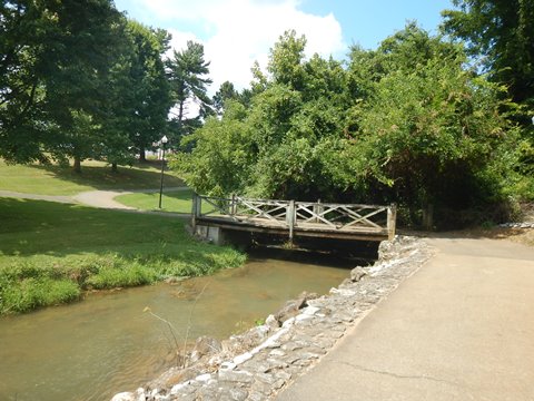
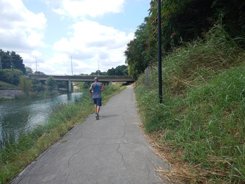
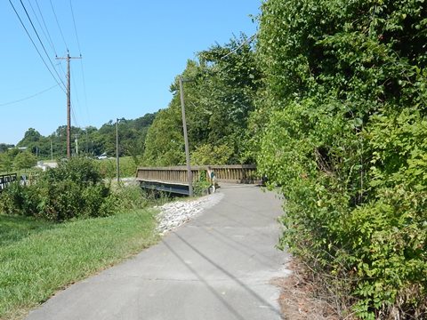
- After going under Hall Rd., the trail continues along the creek, crossing over a couple bridges.
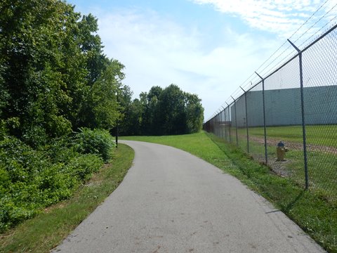
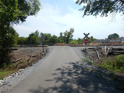
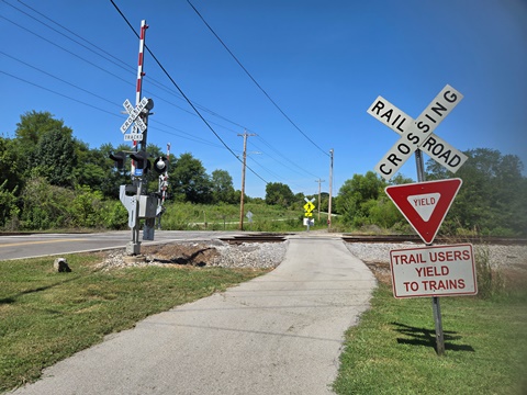
- It enters an industrial area, passes behind a warehouse, then crosses a railroad track. Although the surrounding area is developed, the trail is well-buffered and the surroundings hidden.
MM-1.2 to MM-0
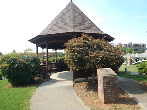
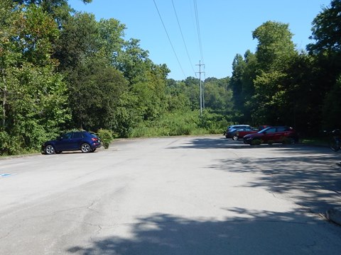
- After going under Calderwood St. is a small plaza with benches and a historical marker commemorating the opening of the Alcoa Greenway Trail in 1998. The trail nears Louisville Rd. and a small parking area.
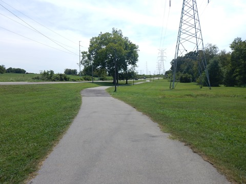
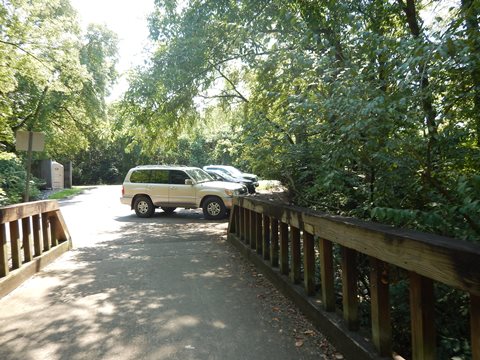
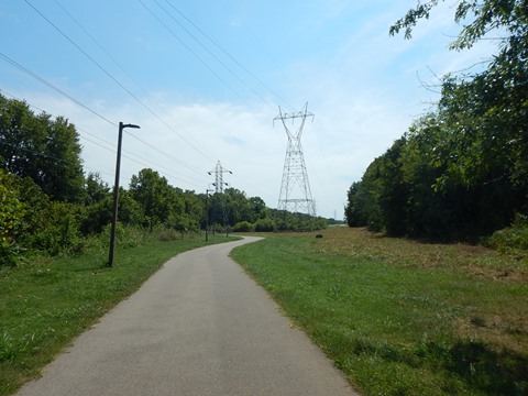
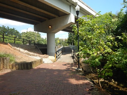
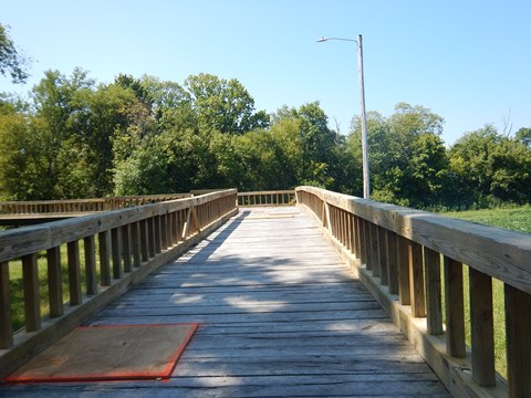
- The final stretch to MM-0 is wooded though close to businesses. A section runs along a powerline, and another boardwalk crosses the creek. There are a couple more underpasses and one road crossing.
Greenway at Maryville (4 miles)
Pearson Springs Park to MM-0
Here we visit south to north. The Greenway here has a lot of diversity with several parks and downtown Maryville, but also needs better signage to navigate through it.
This section includes:
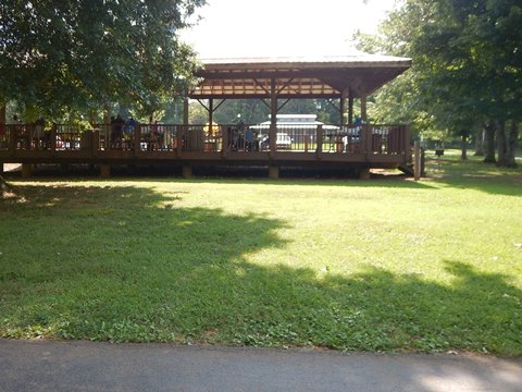
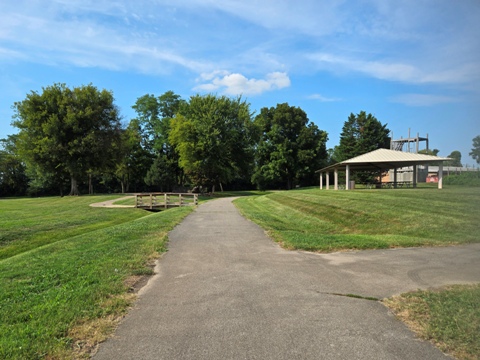
- Pearson Springs Park (parking, restrooms, picnic pavilion, playing fields),
- Sandy Springs Park (parking, restrooms, picnic areas, tennis and playing fields),
- Jack Greene Park (parking, restrooms, pavilion, amphitheater)
- Downtown Maryville (access to restaurants, shops and other businesses)
- Bicentennial Greenbelt Park (paths, benches, parking at the Blount County Library or Depot lot),
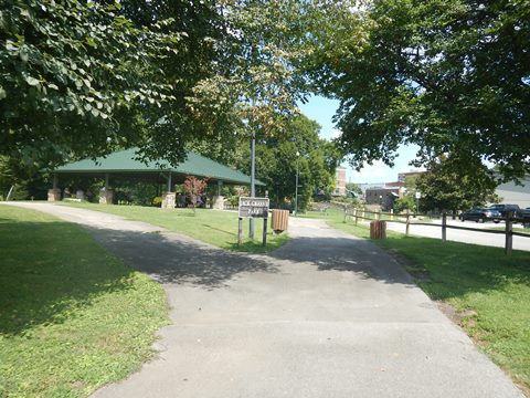
- PetSafe Dog Park at MM-0 (benches, pavilion).
- Note: The greenway extends south from Pearson Springs Park another 3/4 mile to an elementary and middle school, but we didn't visit that section.
Pearson Springs Park through Sandy Springs Park
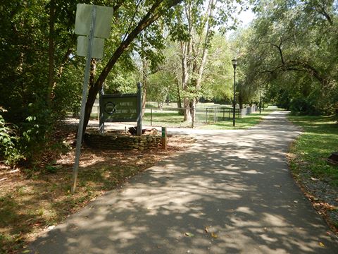
- From the Pearson Springs Park parking area, a short spur links to the Greenway, go right to continue to Sandy Springs Park, about 1/2 mile with one road crossing. The trail runs through the park, past its playing fields and crossing over Pistol Creek twice.
Sandy Springs Park to Downtown Maryville
- Continuing toward downtown is a pleasant, shaded section along the creek, passing Tucker Springs, before emerging at Montvale Rd. The trail runs briefly alongside Montvale Rd. before turning off again, then runs briefly alongside Lamar Alexander Pkwy. as it enters downtown.
Downtown Maryville
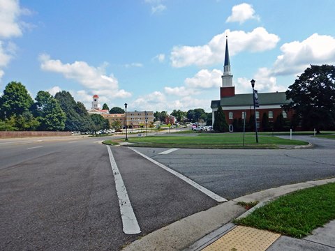
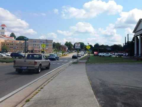
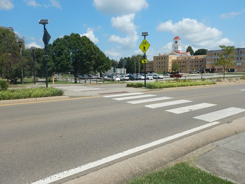
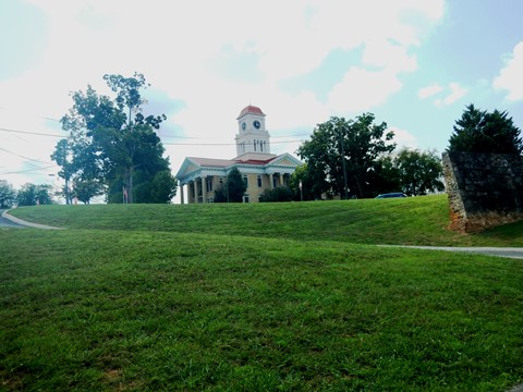
- The trail crosses Lamar Alexander Pkwy. (be careful and use the crossing signals) to Jack Greene Park. It runs through downtown following Pistol Creek, passing the Blount County Courthouse, a brewery and other businesses. Public art is also located along the way.
- Along the creek is low-lying for a less urban ride - roads are elevated on both sides, and the trail runs close to buildings in just one section. Paths off the trail link to business areas, shops and restaurants. Underpasses are provided at main roads.
Downtown Maryville to Bicentennial Heritage Park
- After going under Sevierville Rd., the trail passes the Fort Craig Monument and Spring* and continues along Pistol Creek, emerging alongside Church Ave. It then runs under Broadway Ave. and emerges back alongside Church Ave. - proceed to Harper Ave. Bicentennial Heritage Park ("the Park") lies past here.
- Several spurs meet and with no signage it was unclear where to go. We had to refer to a map and identified two options for continuing: on the main trail through the Park, or looping around the Park. We chose to loop around the Park, then on the return trip we rode through the Park (more below).
- From the corner of Church and Harper, cross Harper Ave. and follow Parham Ave. a short 150 ft. to a crosswalk. Cross Parham and continue on the trail, paralleling the Park along Greenbelt Lake/Pistol Creek.
* History: John Craig's Fort was built in 1785 to protect settlers from Indian raids. The Spring provided water.
Bicentennial Heritage Park to MM-0
The Greenway runs along Greenbelt Lake (Pistol Creek) paralleling the Park. This section is mostly flat and unshaded.
- A spur branches to boardwalks crossing the lake into the Park. The trail passes under the skywalk bridge from the Park to Blount County Public Library and a spur to the library and parking.
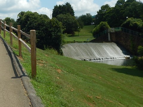
- After passing under Cusick St., there's a stairway up to an overlook with views of the dam along Pistol Creek forming Greenbelt Lake.
- The trail splits, to the left a bridge crosses Pistol Creek into the Park, but we went right to continue toward Alcoa. This section follows Pistol Creek with some shade. After passing the Pistol Creek Dog Park, the trail arrives at MM-0 and start of the trail in Alcoa.
Bicentennial Heritage Park
The bridge linking to the Park was closed for repair, so we returned to the spur crossing Greenbelt Lake. We then meandered through the Park, exiting at Harper Ave. The Park, a reclamation project of an old industrial area, is popular for biking, walking, picnicking and fishing, scenic with benches and shade. The Greenway and several paths link and wander through the park, with some gentle hills.
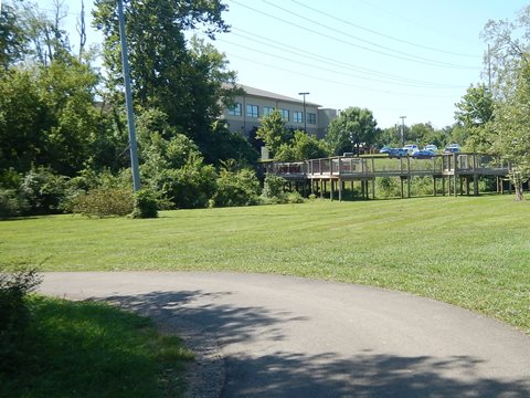
- The boardwalks crossing the lake have scenic views of the lake and park.
- Pistol Creek Station is a street-level plaza with benches, and a bike fix-it station next to the Depot parking lot along McCammom St. This is an elevated area, with good views of the Park and lake. The skywalk bridge to Blount County Public Library starts here.
- At the Harper Ave. access is a parking garage.
Spurs and Connectors
North Greenway Trail Spur (3.5 miles)
North Greenway Trailhead to Springbrook Rd.
- From the North Greenway Trailhead (parking) near Williams Mill Rd., the greenway is an easy ride with few road crossings and underpasses at larger roads. It follows the Little River through wooded areas, past fields, on boardwalks, past schools, businesses and neighborhoods - all well buffered from the surroundings.
- At about 3 miles the trail passes an apartment complex, then crosses a railroad track. It emerges along N. Wright Rd. and continues roadside - with a wide buffer - to the roundabout at Springbrook Rd. where it meets the main greenway.
Richard Williams Park Spur (0.6 mile)
Bicentennial Greenbelt Park to Richard Williams Park
- Starting from the northern end of Bicentennial Greenbelt Park at Parham Rd., the spur passes a parking area and runs through a shaded area before emerging at Aluminum Ave. It runs alongside the road with a wide buffer, then crosses the road into Richard Williams Park.
- Richard Williams Park has parking and picnic pavilion.
More Information and Resources
Nearby Biking:
Townsend Historical Trail
Will Skelton Greenway
(Knoxville)
Great Smoky Mountains National Park
Bike-Tennessee
- More information about biking in Tennessee
Related Resources:
Maryville-Alcoa-Blount County Parks & Recreation 
Legacy Parks Foundation - Maryville-Alcoa Greenway 
Support and Advocacy:
Legacy Parks Foundation 
Copyright © BikeTripper.net. All Rights Reserved. Have Bikes - Will Travel
