Bike Tripper
Have Bikes, Will Travel
Bike Trail Maps & Photos Galore
You are here >
Home >
Ohio >
Cuyahoga Valley National Park
Reported: October 2022
Cuyahoga Valley National Park...
Biking and Hiking at an Historic National Park
Cuyahoga Valley National Park (the 11th most visited National Park) is a real gem - so much to see and do, full of history. Hard to believe it spans an industrial heartland between Akron and Cleveland. It includes perhaps the most scenic and visited section of the Ohio & Erie Canal Towpath Trail, which runs 20 miles through the park from the Botzum Trailhead (south) to Lock 39 Trailhead (north). A fun feature is the Cuyahoga Valley Scenic Railroad, offering round-trip excursions or one-way shuttle for bikers and hikers. Other activities in the National Park include mountain biking, hiking, skiing, fishing, paddling, horseback riding, and birding. (Detailed map and photos below.)
Location: Cuyahoga, Summit Counties, Ohio (See map)
Distance: 20 miles (total Ohio & Erie Towpath Trail
is 90.5 miles)
Surface: Crushed limestone
Bike Shops/Rentals:
Century Cycles  (Peninsula; sales,
rentals, service)
(Peninsula; sales,
rentals, service)
Blimp City Bike & Hike (Akron);
sales, rentals, service)
Also, use the bike shuttle service on the
Cuyahoga Valley Scenic Railroad
Page Summary:
- Biking at Cuyahoga Valley National Park
- Botzum Trailhead to Peninsula - 7 miles
- Botzum Trailhead, Ira Trailhead, Beaver Marsh
- Lock 29 Trailhead / Village of Peninsula - Lock 29 to Station Bridge - 7 miles
- Boston Trailhead, Visitor Center
- Station Bridge Trailhead - Station Bridge to Lock 39 Trailhead - 6 miles
- Station Bridge to Frazee House
- Frazee House to Canal Exploration Center
- Canal Exploration Center to Lock 39 Trailhead, Rockside Station - Brandywine Falls
- Nearby Places of Interest
- Tinker's Creek, Viaduct Park - Bridal Veil Falls - More Information and Resources
Biking at Cuyahoga Valley National Park... Comments and Photos
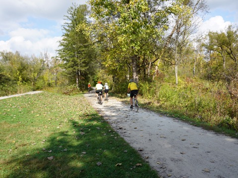
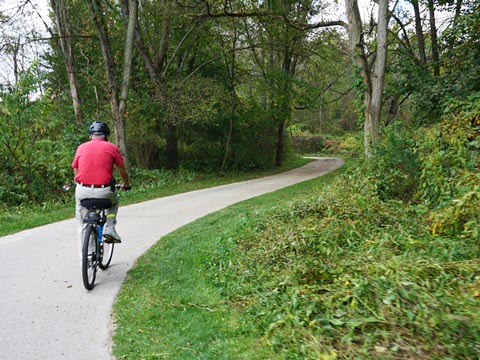
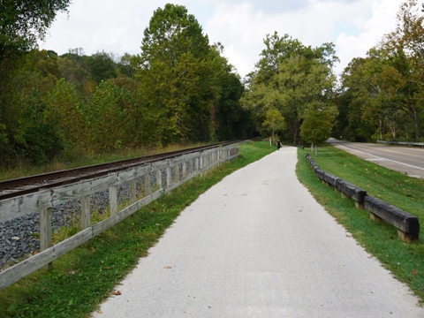
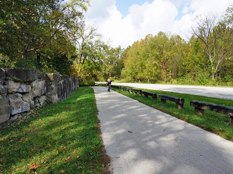
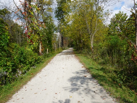
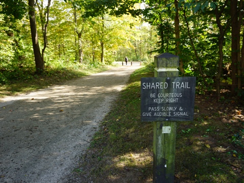
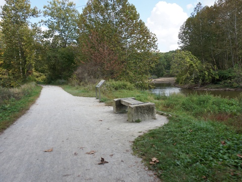
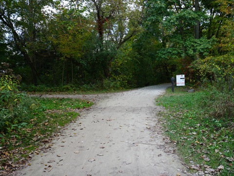
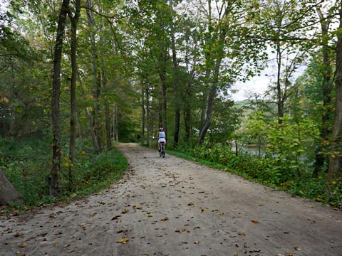
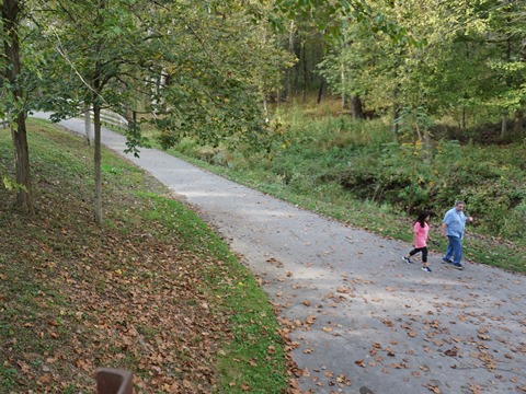
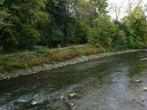
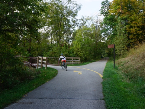
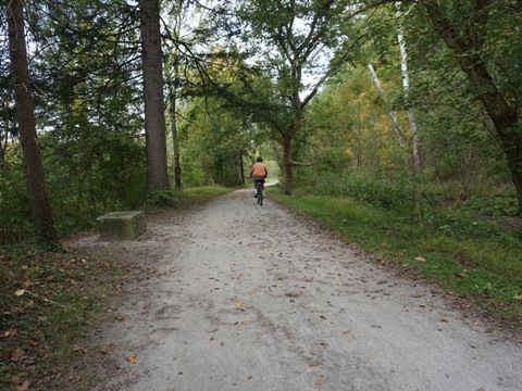
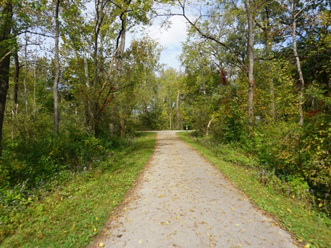
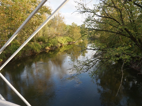
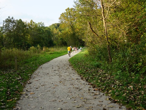
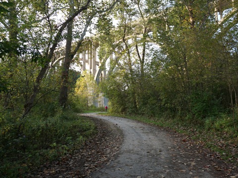
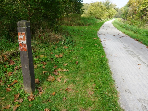
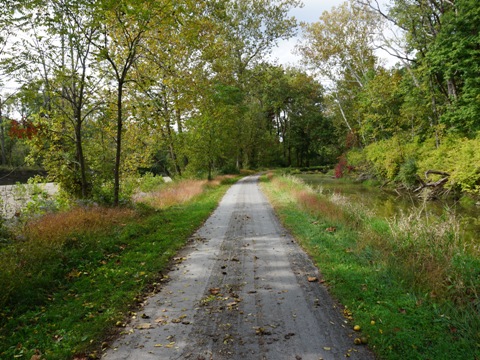
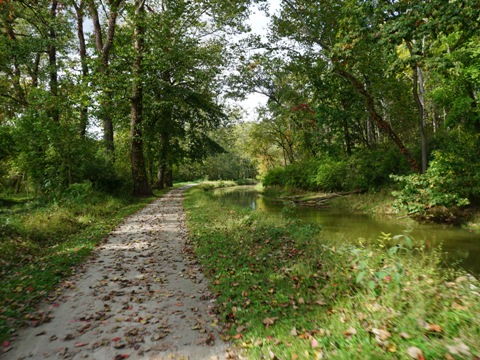
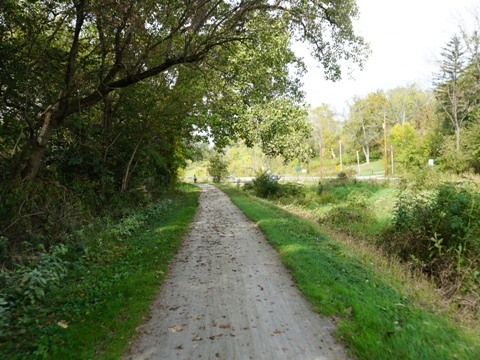
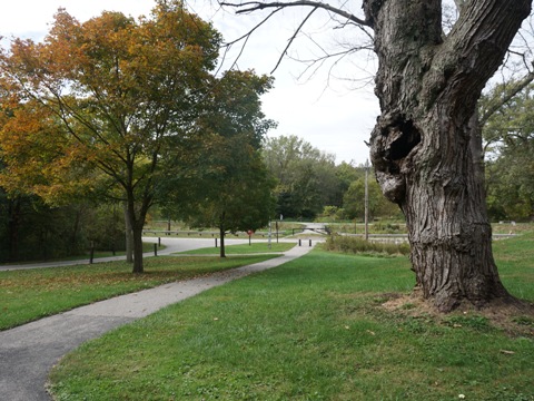
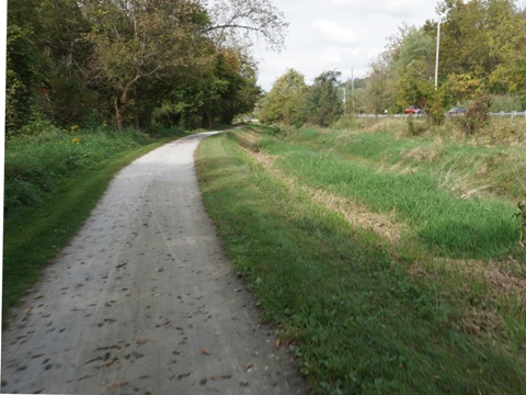
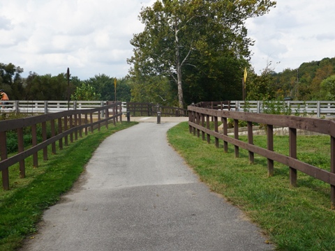
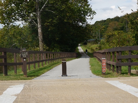
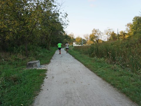
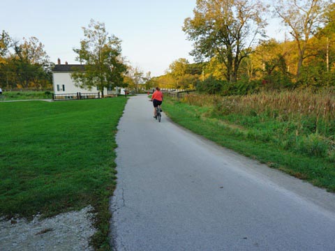
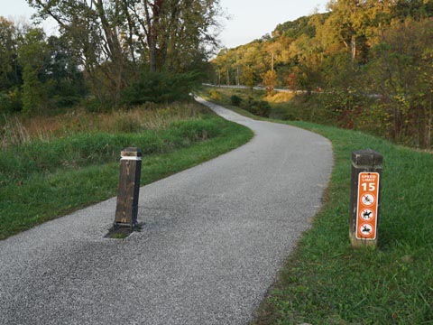
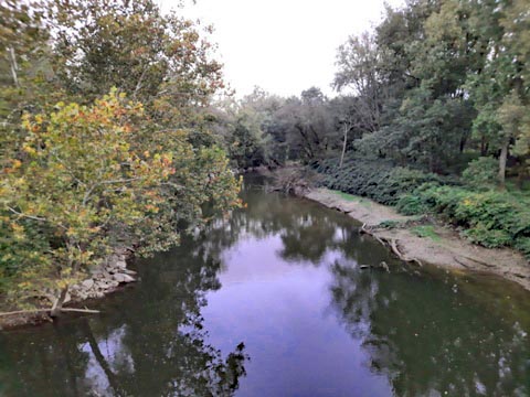
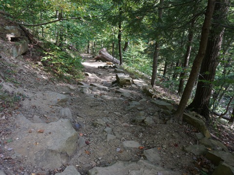
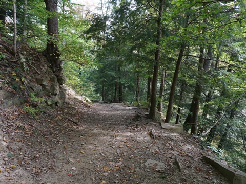
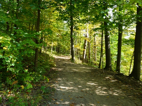
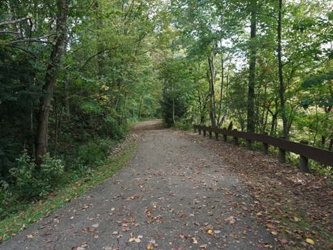
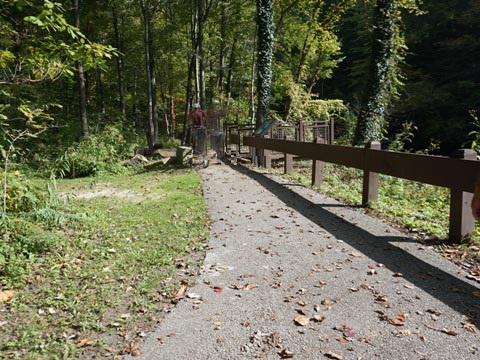
The Ohio & Erie Canal Towpath Trail at Cuyahoga Valley National Park is well marked and easy to follow. The surface here is crushed limestone, well kept and mostly flat with some mild grades - an easy bike ride though best on fat tires. Sections run roadside at the south and north ends with some road crossings, our favorite sections were in the middle - off the road and including woods, open areas, and farmlands. Views of the Cuyahoga River and sections of the old canal and locks are constants. 10 trailheads provide parking and restrooms; some have access to other park trails and attractions, and to Scenic Railroad Stations. We visited trailheads and biked portions of the Towpath Trail, then visited scenic Brandywine Falls and nearby hiking.
Botzum Trailhead to Peninsula - 7 miles
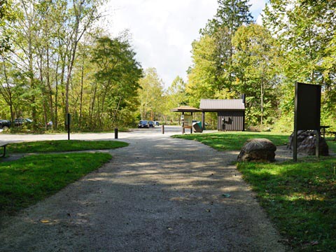
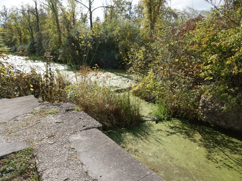
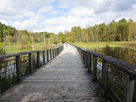
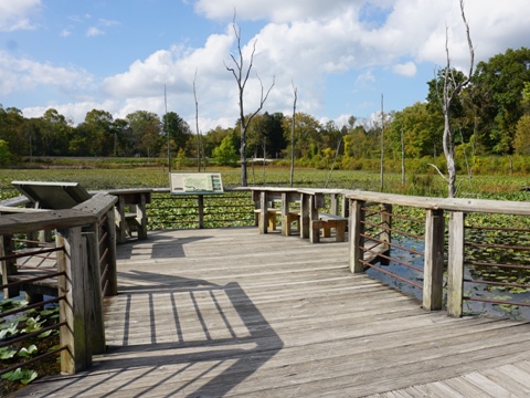
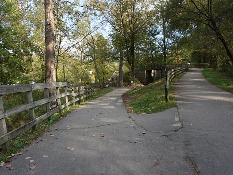
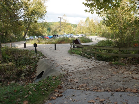
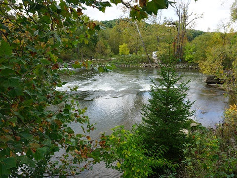
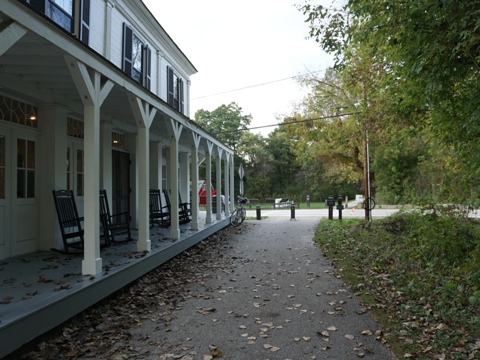
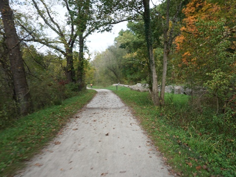
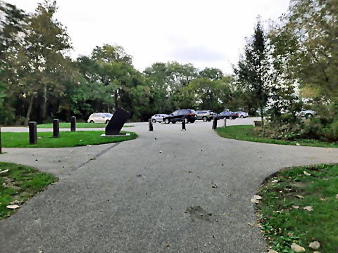
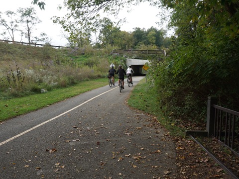
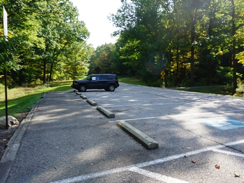
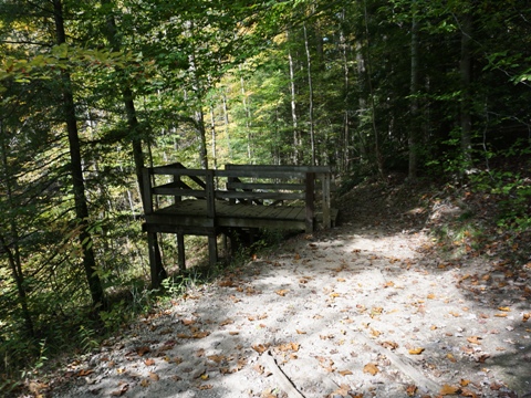
Botzum Trailhead (parking, restrooms, picnicking) is the southernmost trailhead within the National Park. A Scenic Railroad Station is adjacent to the trailhead. From here to Ira Road, the trail runs between the railroad and Riverside Road, but then turns away and continues away from both the railroad and road to Ira Trailhead (parking, restrooms, picnicking). From here, it opens up onto a wetlands and crosses the Beaver Marsh Boardwalk which includes a scenic overlook - one of the best places to view wildlife. The trail continues along the Cuyahoga River with scenic views. A spur runs to the Scenic Railroad Station at Indigo, and then the trail passes the Hunt House Trailhead (parking, restroom) - part of the Everett Historic District.
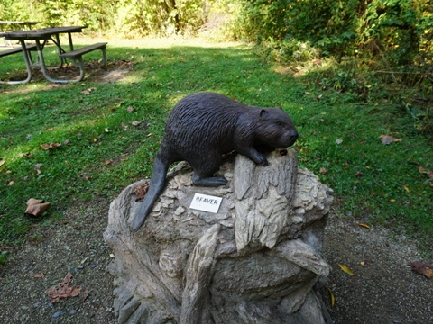
Beaver Marsh was once an old salvage yard. It was reclaimed in the 1980's by humans who cleared the land, and beavers which built a dam that flooded the Canal and created the Marsh.
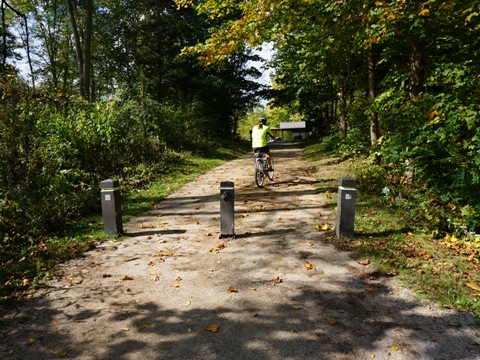
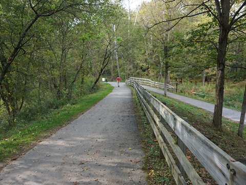
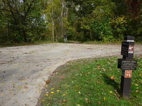
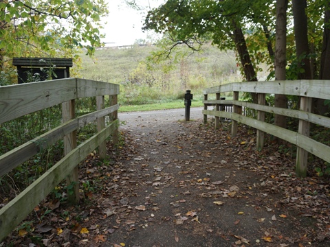
Botzum Trailhead to Ira Trailhead
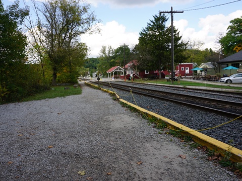
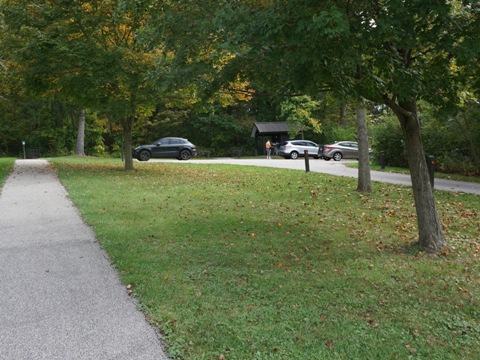
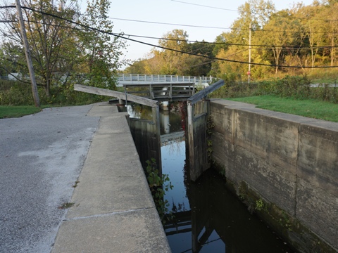
Lock 29 Trailhead - Village of Peninsula
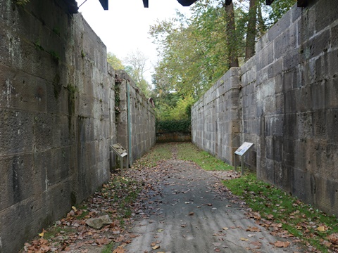
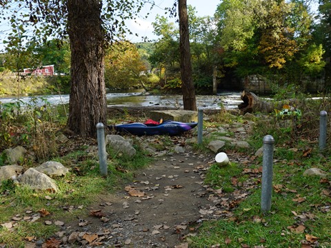
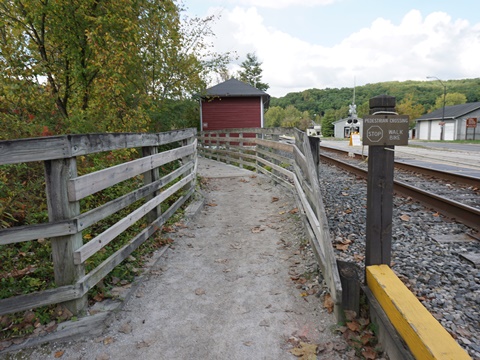
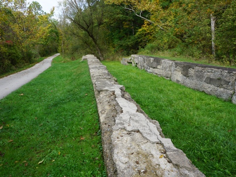
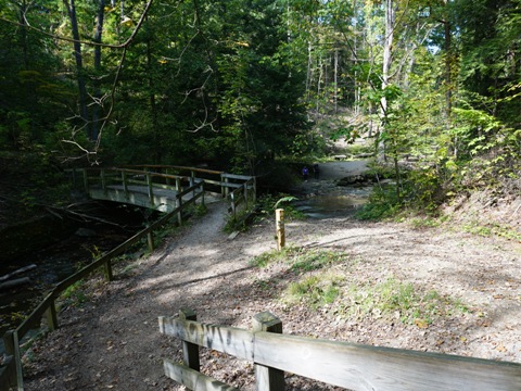
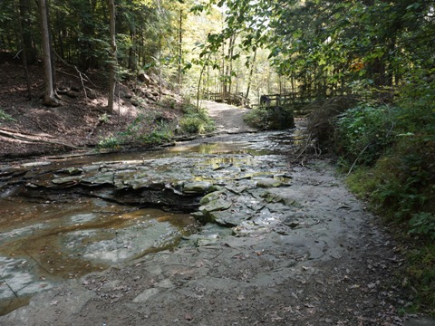
The trail to Lock 29 Trailhead follows the river, off the road. Approaching the trailhead it runs under Streetsboro St. (Rt. 303), then crosses the Cuyahoga River on a trestle bridge. This is a busy trailhead, providing parking, restrooms, historic exhibits, and canoe/kayak launch. It's possible to actually walk into the lock, an interesting stop! A walkway from the trailhead leads to the Village of Peninsula.
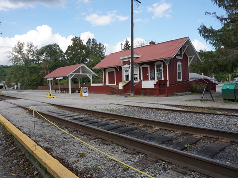
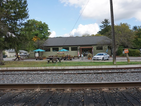
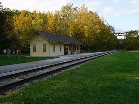
Peninsula was a thriving canal town and boat-building. center in the 1800's but declined in the 1900's with the rise of automobiles. Restoration began in the 1960's, and today the historic 1800's village is well preserved and a popular stop for Trail users, with restaurants, shops and a bike shop. The original train depot now serves as a Scenic Railroad Station.
Lock 29 Trailhead
Lock 29 to Station Bridge - 7 miles
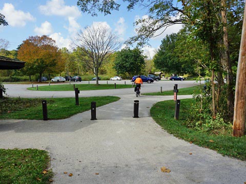
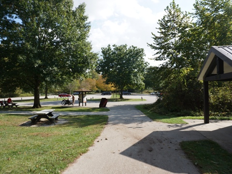
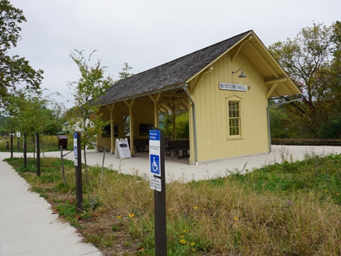
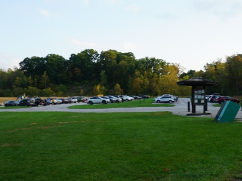
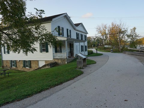
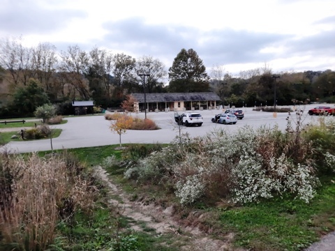
Boston Mill Visitor Center and Trailhead
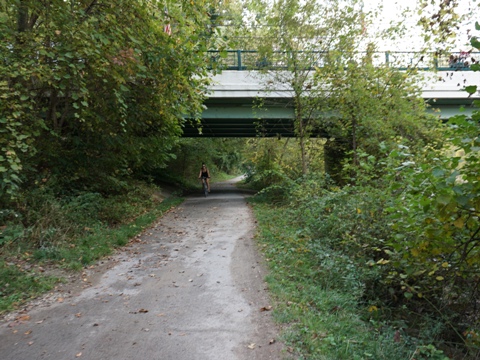
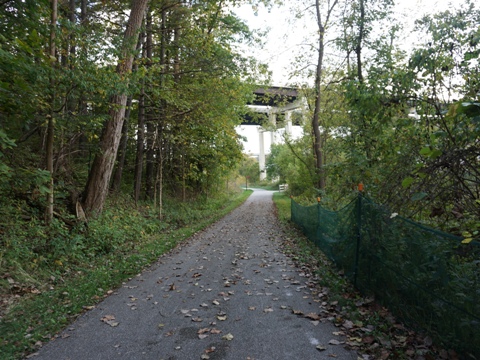
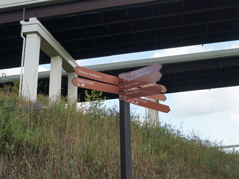
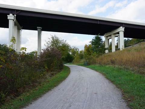
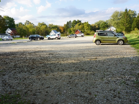
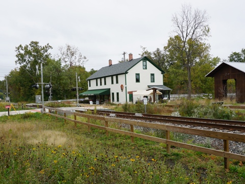
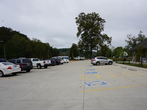
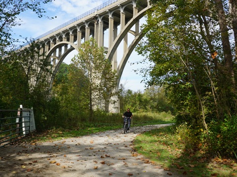
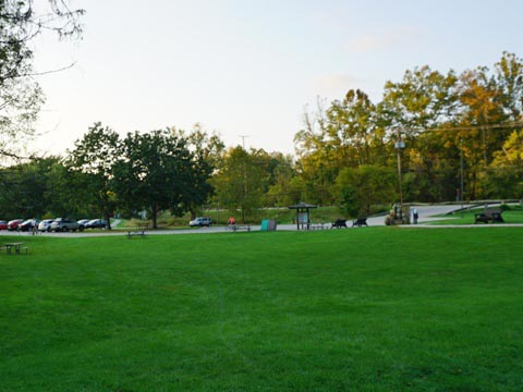
The Towpath Trail continues totally off the road along the river, with scenic views. After crossing under the Ohio Turnpike (I-80) and I-271, a spur to the right goes to the Boston Trailhead (parking, restroom, access Valley and Buckeye Trails), or go to the left, crossing a bridge to continue on the trail and past the Boston Store - dating from 1835, refreshments are available. The trail continues after crossing Boston Mills Rd. The Boston Mill Visitor Center (the main park center) is along Boston Mills Rd. to the west - from the trail, another spur crosses on the vehicle bridge over the river. Originally a 1905 general store, the Visitor Center has full facilities, parking, picnicking, bookstore, maps, information, canoe/kayak launch, and a Scenic Railroad Station.
The Village of Boston was founded in 1827 with the arrival of the Ohio & Erie Canal, but declined in the 1880's as railroads became prevalent. Then in 1902 the Cleveland Akron Bag Company was established and the area again boomed. A self-guided walking tour of the village is mapped out.
Boston Trailhead, Boston Store
Between the Boston Trailhead and Station Bridge is the Red Lock Trailhead (parking, restroom) which is near the Brandywine Ski Area (popular Brandywine falls is to the east, more below).
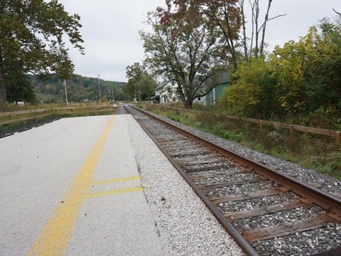
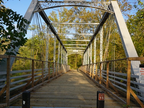
Station Bridge Trailhead
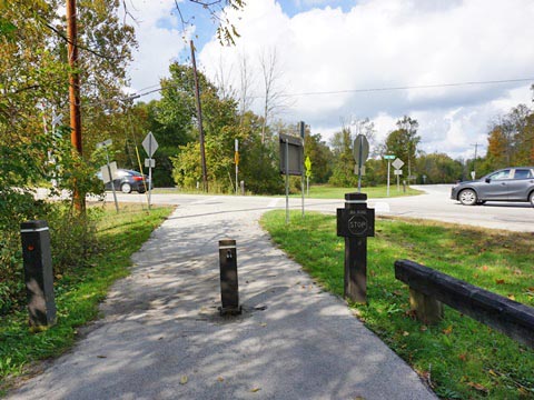
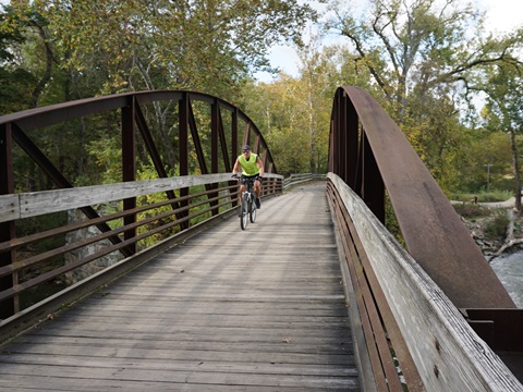
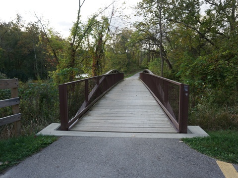
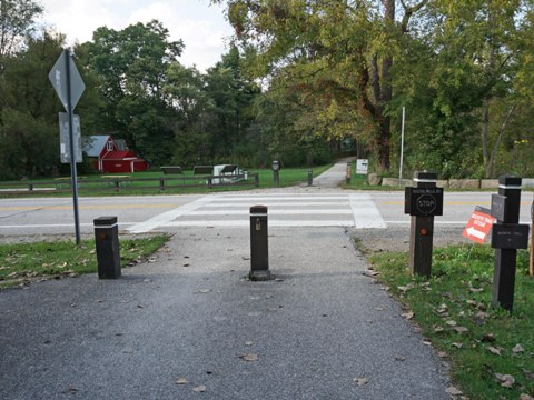
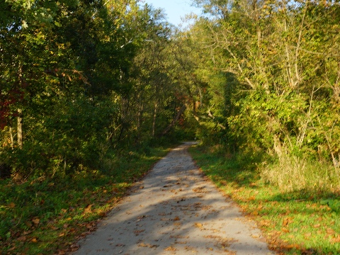
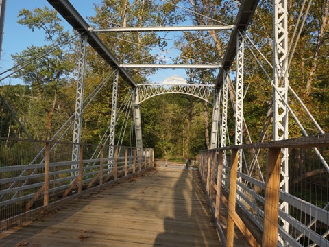
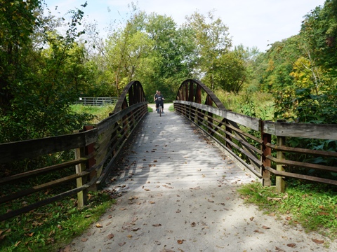
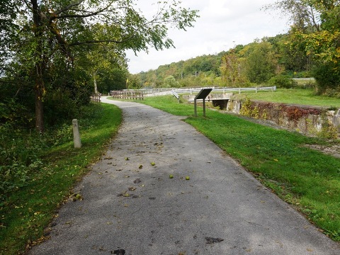
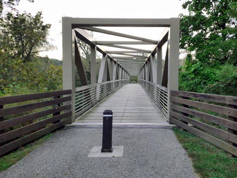
Approaching Station Bridge is a pleasant section of trail running alternately along the river and through woodlands, and an interesting stop at Lock 35 - the Murphy family had a farm here, a marker includes quotes from his essays about the "laughter and tears" experienced here. A spur runs to the east, crossing the Station Road Bridge to the Trailhead with parking, restrooms, paddling, historical exhibits, access to several trails and recreation areas, and a Scenic Railroad Station. Continuing straight across Station Bridge Road to continue on the trail, which runs under W. Aurora Rd. (Rt. 82).
Trail to Station Road Bridge

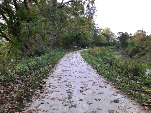
Station Bridge to Lock 39 Trailhead - 6 miles
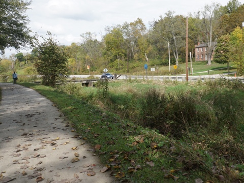
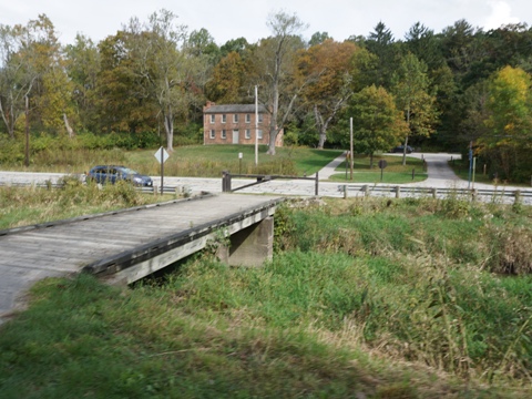
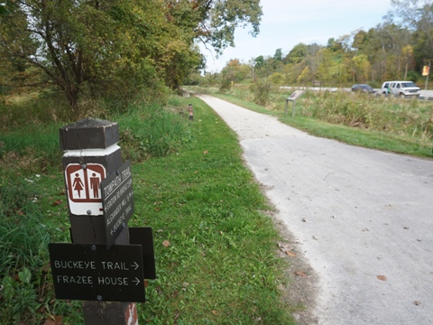
Station Road to Frazee House
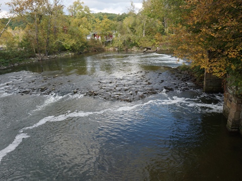
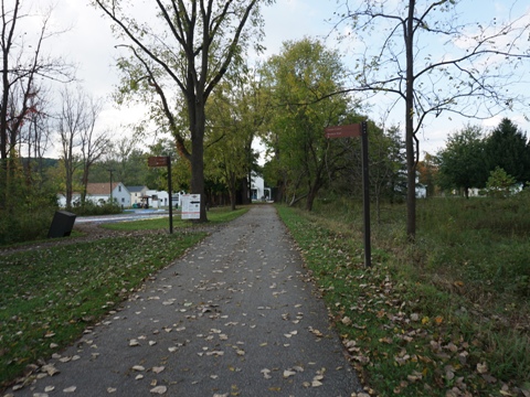
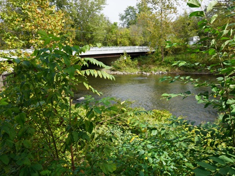
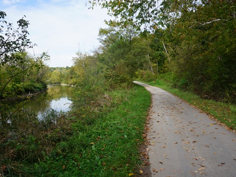
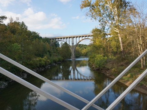
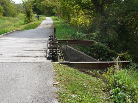
After crossing Station Road, the Towpath Trail runs under W. Aurora Rd. (Rt. 82). At the time we visited, a construction project (now completed) was underway near the bridge to remove two dams that had been built (in 1827 and 1952) to divert water from the river to the canal, and later to a steel and wire company. The removal of both is intended to improve the health of the river and restore the natural habitat. A pump was installed to maintain water levels in the canal. The trail crosses a bridge over the feeder to the canal, near lock 36. From here the trail runs between the river and the canal - this is the watered section of the canal which must be maintained having been designated a National Historic Landmark to Rockside Road. The trail is now closer to a more developed area but still buffered from the surroundings. However, approaching Frazee House it emerges roadside along Canal Road. It then continues roadside to the National Park's northern boundary.
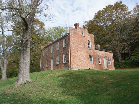
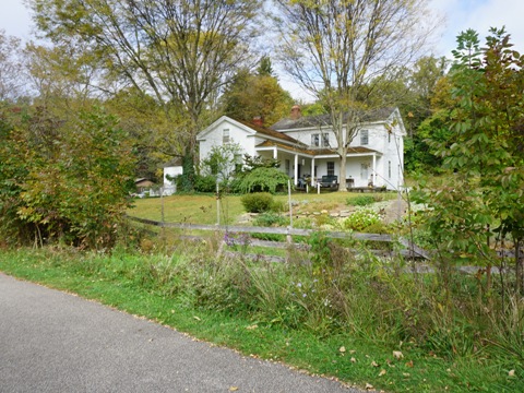
Frazee House is located across Canal Rd. from the trail. Parking and restroom available, it also serves as trailhead for hiking the Sagamore Creek Trail. The Frazee family settled here in 1816 and achieved prosperity through farming and trade. In 1827 they built the Federal-style home, one of the first brick structures in the lower Cuyahoga Valley. It was added to the National Register of Historic Places in 1976.
Trail to Frazee House

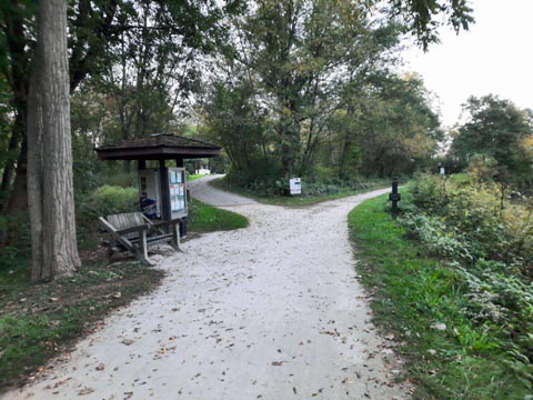
Frazee House to Canal Discovery Center
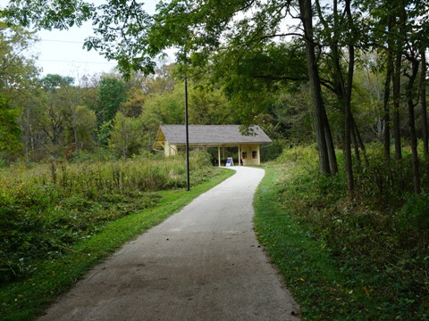
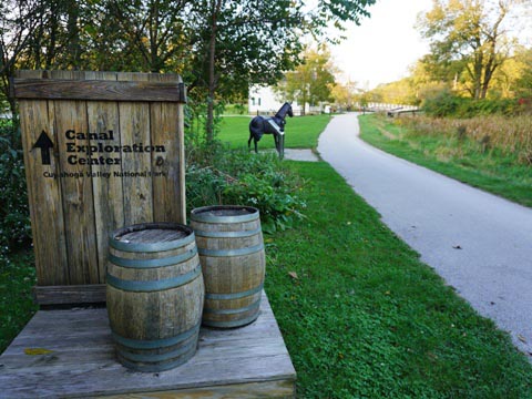
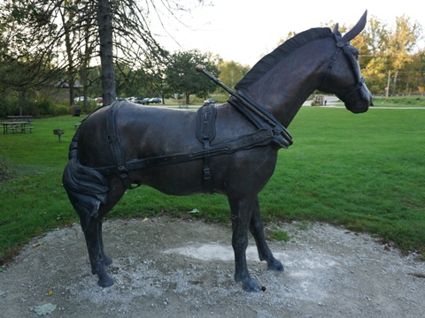
The Towpath Trail continues roadside along Canal Rd. It passes two canal structures - a flood gate that helped regulate water levels, and Lock 37. The trail crosses Fitzwater Rd. - to the left about 700 feet down the road is a small parking lot (no other facilities). Continuing along the trail, sights include the Alexander- Wilson Mill (in continuous usage since 1853, today selling pre-bagged feed and fertilizer - remnants of the original mill remain), and Tinkers Creek Aqueduct (which carries the Canal over Tinkers Creek). The Canal Exploration Center has parking, restrooms, picnicking, information, exhibits and maps, and a Scenic Railroad Station. The Center was originally used as a tavern and store along the Canal. Lock 38 is located here, the bronze mule statue commemorates the mules that supplied the "horsepower" pulling the boats along the canal.
Frazee House to Fitzwater
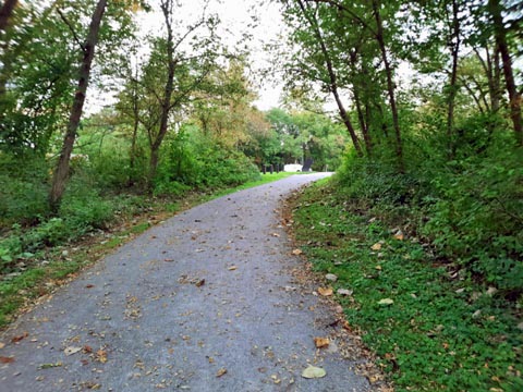
Canal Discovery Center to Lock 39 Trailhead / Rockside Station
Trail to Lock 39 Trailhead - Rockside Station
The Towpath Trail continues roadside along Canal Road, passing some farmland and residential areas, and past Lock 38. A spur branches off to the left to Lock 39 Trailhead - continuing to the right begins the Cleveland MetroPark's section of the Towpath Trail. The Trailhead has parking and an information kiosk. Rockside Station is across a bridge over the Cuyahoga, with additional parking and restrooms. As the closest Scenic Railroad Station to Cleveland, it can get quite busy.
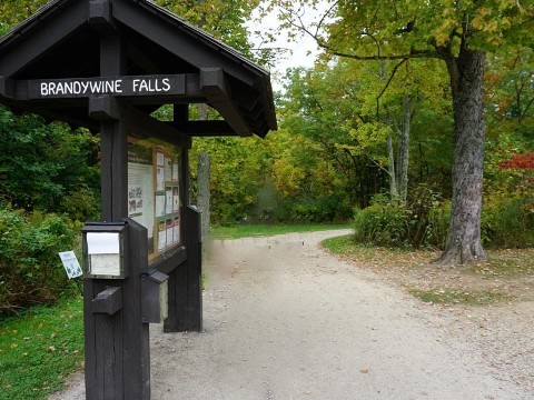
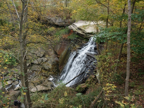
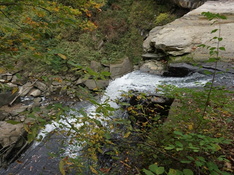
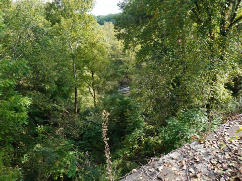
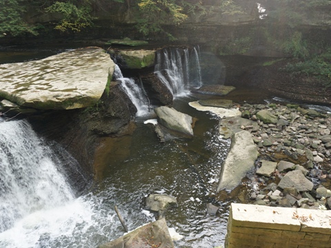
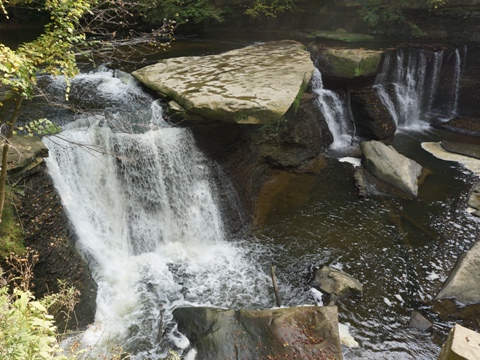
Brandywine Falls
Brandywine Falls - Brandywine Gorge Loop (1.4 mile)
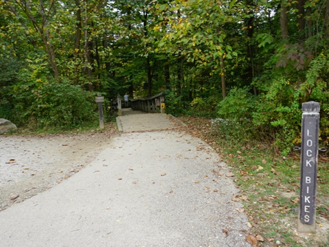
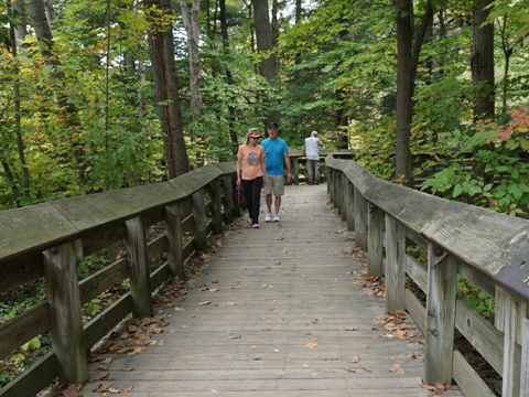
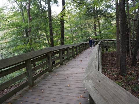
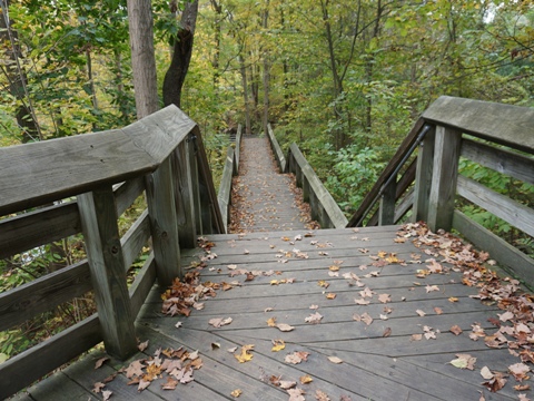
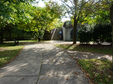
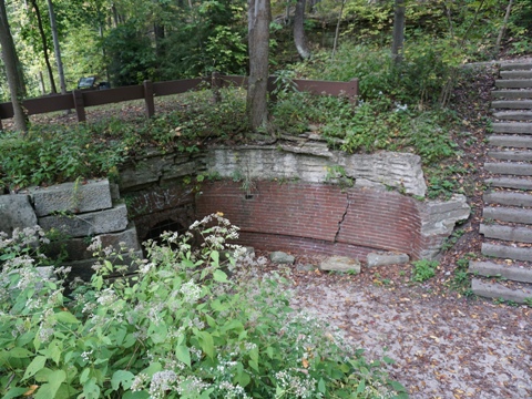
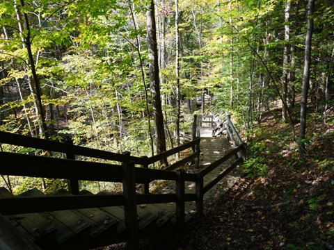
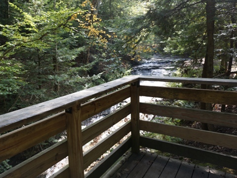
While our focus was on biking the Ohio & Erie Towpath Trail, Cuyahoga Valley National Park has so much more to offer, including over 125 miles of hiking trails. Brandywine Falls is the most popular location within the Park. The 60-foot falls are a "must-see" in the area. The Brandywine Gorge Loop provides a close-up view. Starting from the parking lot, a shorter, accessible route on a boardwalk leads to an overlook at the waterfall. Continue down a flight of wooden stairs to get a close-up view. Down the staircase, the site of the former Champion Electric Company can be seen. Going clockwise, the complete loop becomes gravel and dirt, descending into the gorge to creek level. After crossing the creek on a footbridge, the trail climbs and returns along the upper rim. It exits onto a paved trail, shared with the Summit MetroParks Bike-Hike Trail, passing the Inn at Brandywine Falls en route back to the trailhead.
Boardwalk to Falls
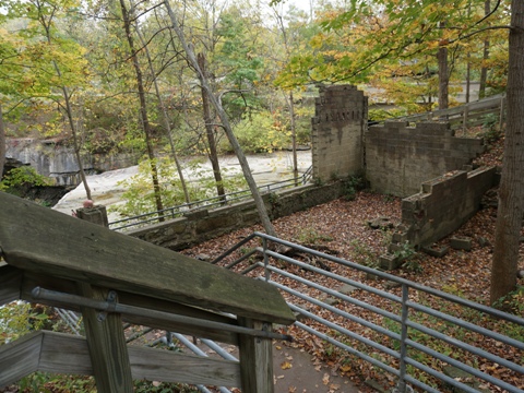
In 1814, a saw mill was built at the top of the falls, followed by more grist and woolen mills. The Village of Brandywine grew here, now mostly gone though the Inn at Brandywine Falls (1848) - originally home of a mill owner's family - remains. Listed on the National Register of Historic Places, it has been renovated and today serves as a Bed & Breakfast Inn.
Note: As a popular area, parking at the trailhead - which is shared with Summit Bike-Hike Trail users - can get filled early. For those who can handle a longer hike, an option is to park at the Boston or Stanford Trailheads and hike the Stanford Trail, about 1.2 mile.
Nearby Places of Interest
At nearby Bedford Reservation (managed by
Cleveland MetroParks) we also viewed Tinker's Creek
Gorge and visited Viaduct Park with views
of the Great
Falls at Tinker's Creek, and then hiked at scenic Bridal Veil Falls.
In addition to waterfalls, 2,200 acre Bedford Reservation has bike,
hike and equestrian trails, restrooms, picnic areas, playground, golf
course.
More information
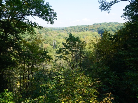
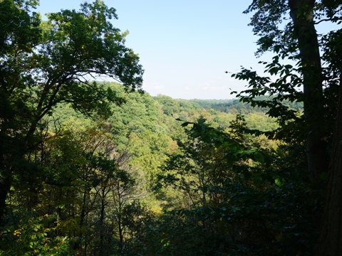
Tinker's Creek Gorge
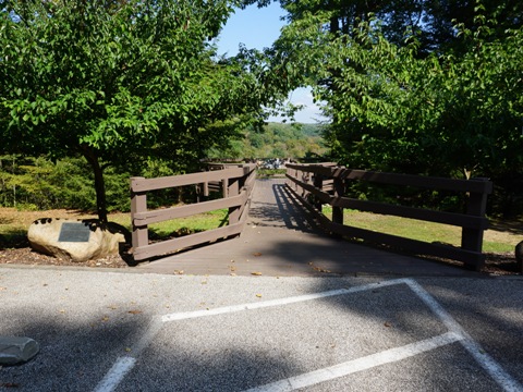
Tinker's Creek, a tributary of the Cuyahoga River, runs 28.2 miles. With a 220-foot drop, a deep gorge - now a National Natural Landmark - was carved out. A Scenic Overlook along Gorge Pkwy. gives a wide vista. For a close-up view, visit Viaduct Park in Bedford, Ohio. Tinker's Creek Viaduct, on the National Register of Historic Places, was built to carry trains over the creek. A remnant remains at the park - climb to the overlook at the top for a view of Tinker's Creek Gorge. Informational signs tell the area's history, with evidence remaining of the saw mill, grist mill, electric power plant that dominated the area from 1821-1913. The Great Falls of Tinker's Creek are reached by a short, easy trail. The falls are about 25 feet high with an 80-foot crest, and is the longest cascade along Tinker's Creek (thus, the "Great Falls").
Bridal Veil Falls
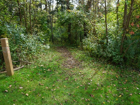
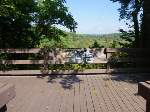
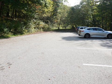
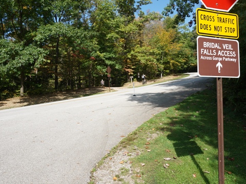
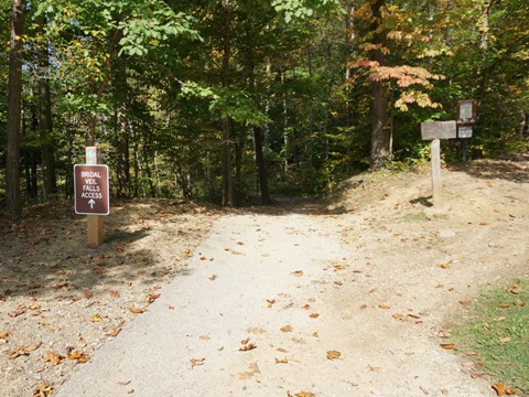
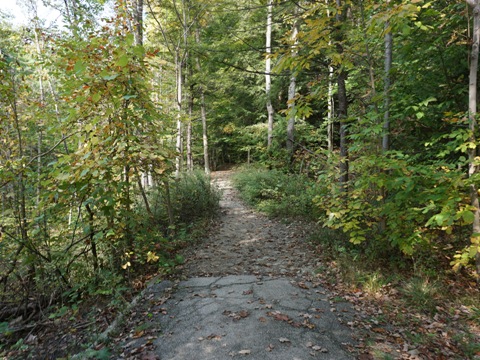
We liked Bridal Veil Falls, a peaceful spot surrounded by hardwood and hemlock. Parking is located off Gorge Pkwy. about 3/4 mile from the Tinker's Gorge Overlook. Cross Gorge Pkwy. and follow Buckeye Trail about 3/10 mile, then down wooden stairs to the falls. A wooden bridge to an observation deck gives scenic views of the cascading falls (water may be low at times). Additional hiking and mountain biking are also available, continue on Buckeye or Bridle Trails - pick your route (map suggested). Equestrian trails run through the area, so watch for horses. There's also a single-track mountain bike course that starts along Gorge Pkwy. across from the parking lot.


More Information and Resources
Nearby Biking:
Ohio & Erie Canal Towpath
Trail
Bike-Ohio - More bike
trails and information about biking in Ohio
Related Resources:
National Park Service - Cuyahoga Valley National Park
National Park Service - History of the Ohio & Erie Canal
Ohio
& Erie Canal - Towpath Trail
Ohio & Erie Canal -
Bicycling
Support and Advocacy:
Conservancy
for Cuyahoga Valley National Park

Copyright © BikeTripper.net. All Rights Reserved. Have Bikes - Will Travel