Bike Tripper
Have Bikes, Will Travel
Bike Trail Maps & Photos Galore
You are here >
Home >
Ohio >
Ohio & Erie Canal Towpath
Latest update: October 2022
Ohio & Erie Canal Towpath Trail...
Exploring a National Heritage Area by Bike
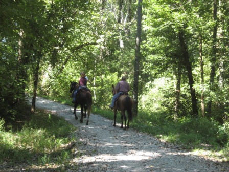
The 90.5-mile Ohio & Erie Canal Towpath Trail offers biking, hiking, jogging, horseback riding, and historical exhibits through varied landscapes from urban to quiet nature. This iconic trail between Cleveland and Bolivar, OH, attracts more than 2.5 million visitors each year. There are more than 50 trailheads along the way providing parking and other amenities. The total Canalway runs more than 100 miles and is a National Heritage Area - by creating a link from Lake Erie to the Ohio River, the canal was an important part of transportation history. Active from 1827 to 1913, exhibits along the way tell the story. The Towpath Trail is part of the Ohio to Erie Trail, 326 miles from Lake Erie in Cleveland to the Ohio River in Cincinnati. (Detailed map and photos below.)
Location: Cuyahoga, Summit, Stark and Tuscarawas Counties, Ohio (See map)
Distance: 90.5 miles (101 when completed)
Surface: Various, paved and unpaved
Bike Shops/Rentals:
Century Cycles  (Peninsula; sales,
rentals, service)
(Peninsula; sales,
rentals, service)
Pedego Electric Bikes (Peninsula; sales, service)
Ernie's Bike Shop (Massillon,
North Canton, New Philadelphia; sales, rentals, service)
Canal Fulton
Canoe Livery (Canal Fulton;
pedal/paddle trips)
Also, use the bike shuttle service on the
Cuyahoga Valley Scenic Railroad
Page Summary:
- Biking the Ohio & Erie Canal Towpath
- Towpath at Cuyahoga Valley National Park
- Trailheads: Botzum, Ira. Lock 29, Boston, Station Bridge, Frazee House, Canal Exploration Center, Lock 39 - Towpath Trail North - Cuyahoga County, Cleveland
- Cuyahoga Valley NP to Bacci Aqueduct Trailhead
- Ohio & Erie Canal Reservation
- Scranton Flats
- Canal Basin Park - Towpath Trail South
(Summit, Stark and Tuscarawas Counties)
- Towpath at Navarre-Bolivar - Nearby Places of Interest
- Zoar Village - More Information and Resources
Biking the Ohio & Erie Canal Towpath... Comments and Photos
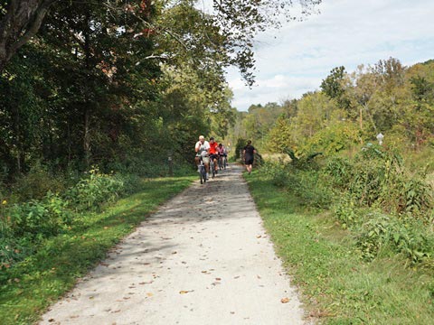
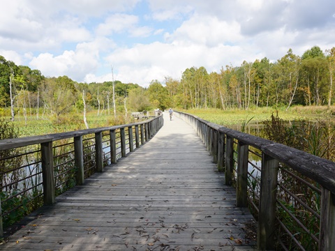
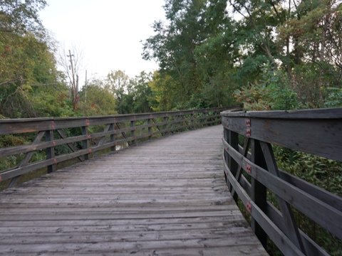
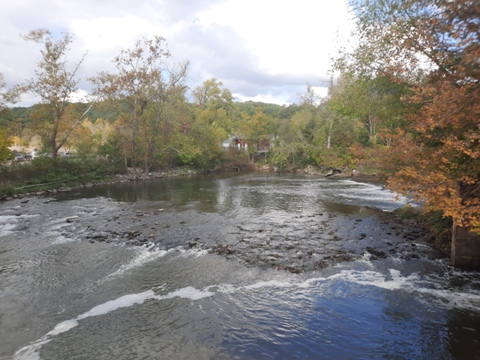
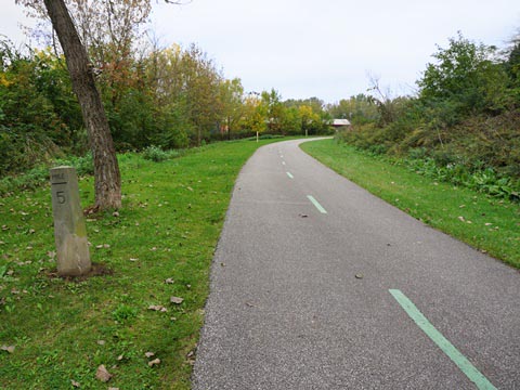
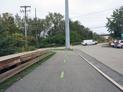
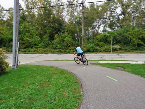
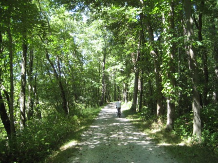
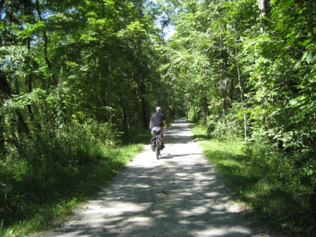
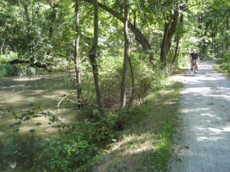
The trail mostly parallels the Cuyahoga River, Little Cuyahoga River, and Tuscarawas River. This follows the route of the canal as closely as possible, though some sections have been erased by development. Old locks and sections of the canal are visible. The trail is paved in Cleveland and Akron, the remainder is crushed limestone or dirt, and some boardwalk. Hybrid or mountain bikes are best on the unpaved sections - bring water, and wearing a helmet is recommended. Wildlife viewing and birdwatching (over 250 bird species identified) are other popular activities.
Towpath at Cuyahoga Valley National Park
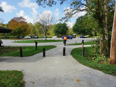
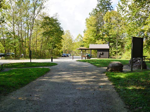
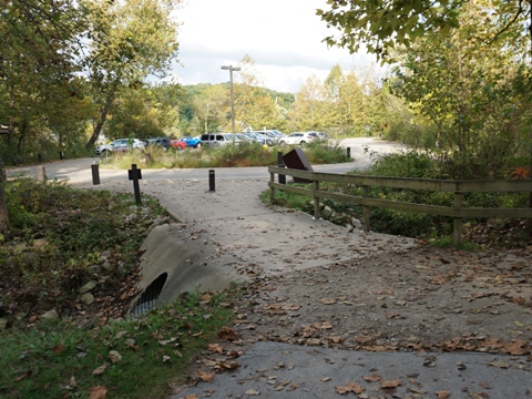
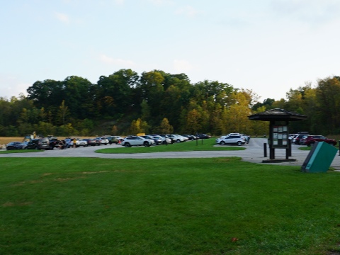
Cuyahoga Valley National Park is a real gem, and the towpath is the main trail through the park running 20 miles from the Botzum Trailhead (south) to Lock 39 Trailhead (north). 10 trailheads provide parking and restrooms; other stops provide parking and access to other park trails and attractions, and Scenic Railroad stations. This is an overview of some Towpath Trailheads through the park, see full details on our Cuyahoga Valley National Park page.
Botzum Trailhead
Botzum Trailhead (parking, restrooms, picnicking) is the southernmost trailhead within the National Park. A Scenic Railroad Station is adjacent.
Lock 29 Trailhead
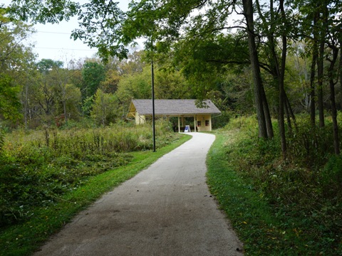
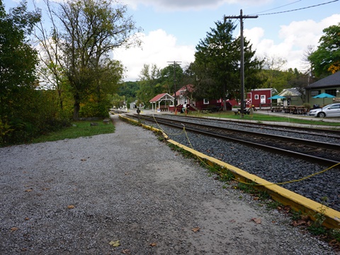
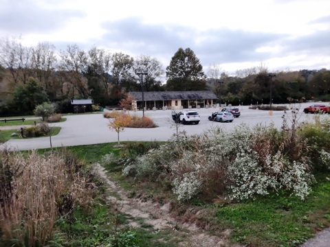
Lock 29 Trailhead has parking, restrooms, canoe/kayak launch. It's possible to actually walk into the lock, an interesting stop! A walkway from the trailhead leads to the Village of Peninsula. (restaurants, shops, historic exhibits. and a bike shop, Scenic Railroad Station).
Boston Trailhead
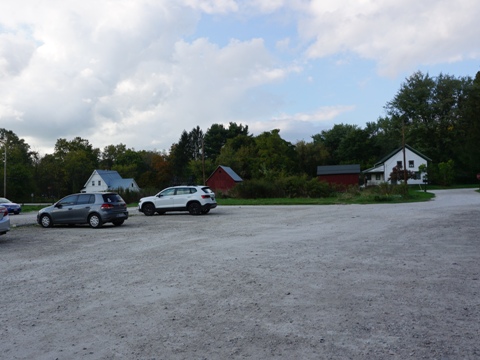
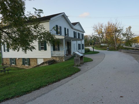
The Boston Trailhead provides parking, restrooms, picnicking. Refreshments are available at the nearby Boston Store, dating from 1835. The Boston Mill Visitor Center (main park center) is nearby, with full facilities and information, Scenic Railroad Station.
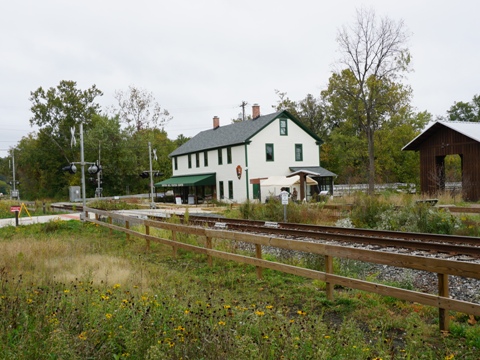
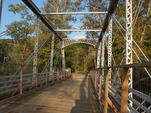
Station Road Bridge Trailhead
Station Road Bridge Trailhead is a large area with Scenic Railroad Station, parking, restrooms, paddling, historical exhibits, and access to several trails and recreation areas.
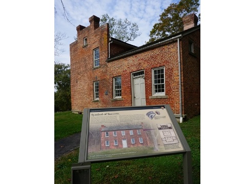
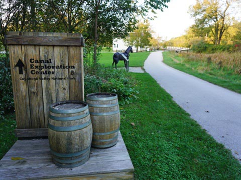
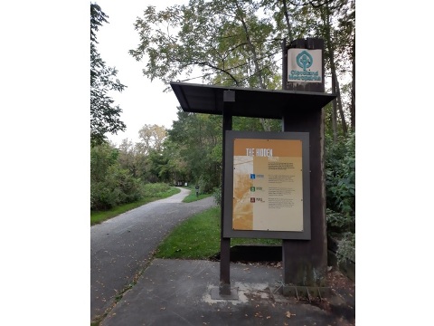
Canal Exploration Center
The Canal Exploration Center is located in a historic tavern and store that served boat passengers at Lock 38 in the 1800's. Parking, restrooms, information and exhibits, Scenic Railroad Station.
See more details at Cuyahoga Valley National Park
North - Cuyahoga County, Cleveland
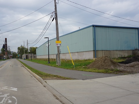
This section is managed by Cleveland MetroParks. The Towpath Trail in this section is paved with roadside sections.
Cuyahoga Valley NP to Bacci Aqueduct Trailhead
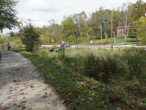
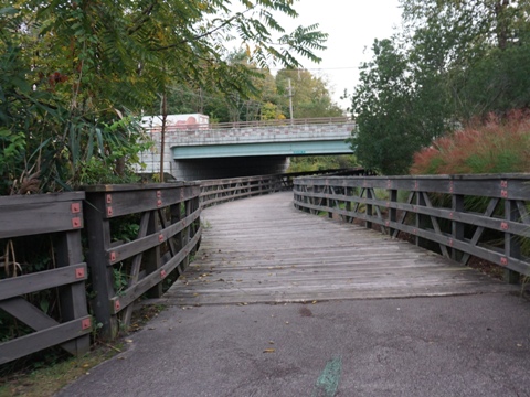
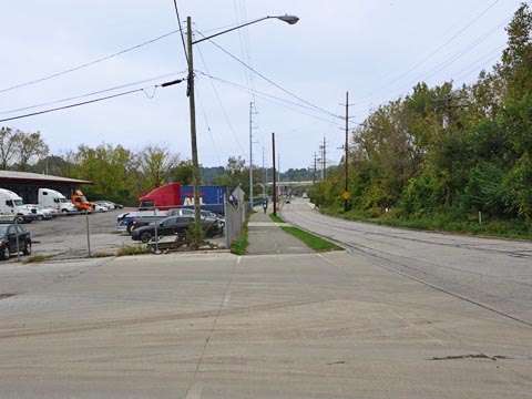
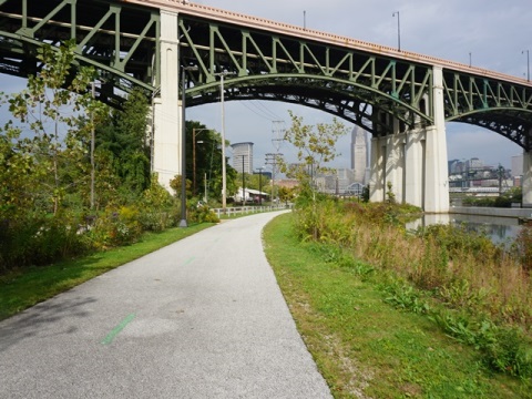
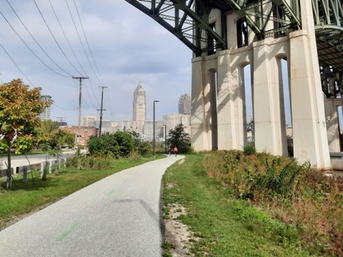
The trail leaves Cuyahoga Valley National Park at Rockslide Road (just past the Lock 39 Trailhead). From here to the Bacci Aqueduct Trailhead, the Towpath Trail runs along the canal through a busy commercial area parallel to Canal Road. Two trail bridges over busy intersections, at Granger and Warner Roads, are a big plus.
Ohio & Erie Canal Reservation
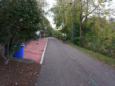
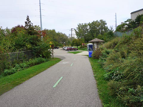
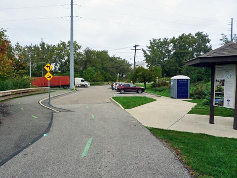
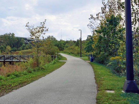
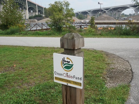
The Ohio & Erie Canal Reservation, a Cleveland MetroPark, covers 325 acres in Cuyahoga Falls and Valley View. The Reservation protects the last 4.4 miles of watered canal, and includes 7.2 miles of all-purpose trail including about 5 miles of the Towpath Trail. Trailheads are located at Bacci Park Aqueduct, Canalway Center, and Harvard Gateway - among them including parking, restrooms, picnicking, playgrounds, educational exhibits, boating and paddlesports, fishing and sporting facilities.
We visited a short portion at Harvard Gateway Trailhead, from where the Reservation ends and the Towpath Trail continues roadside.
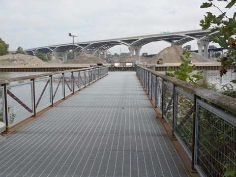
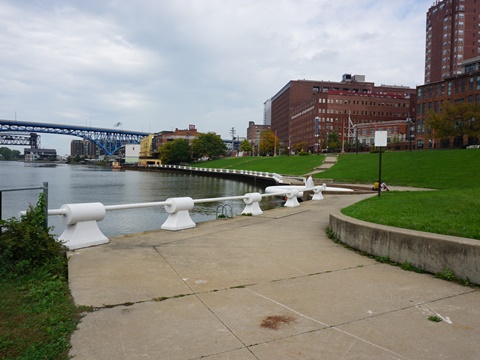
Scranton Flats
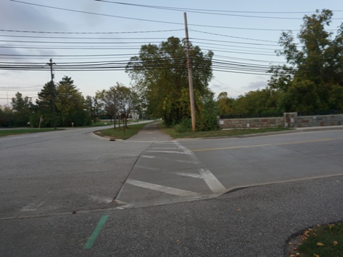
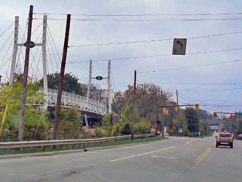
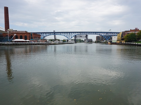
From Harvard Gateway to Sokolowski’s Overlook Trailhead is about 4.5 miles. From the trailhead, the section through Scranton Flats runs 0.8 mile between Scranton Road and the Cuyahoga River to Carter Rd. - buffered from the road with views of the Cleveland skyline. Scranton Flats was an old industrial area, now restored to include 9 acres of meadowland and natural river shoreline. The "Scranton Spoon" is a pier extending into the river with views and historic markers. Parking is roadside along Scranton Road or at the trailhead. At Carter Road, the Towpath Trail continues along a roadside route, including a bridge over the river, leading to the trail's northern terminus.
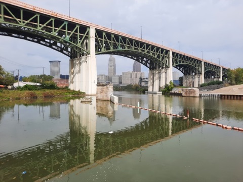
Some History: The Hope Memorial Bridge (1932) is listed on the National Register of Historic Places. The Art Deco pylons feature 43-foot tall winged figures. Dubbed the "Guardians of Traffic," each holds a vehicle.
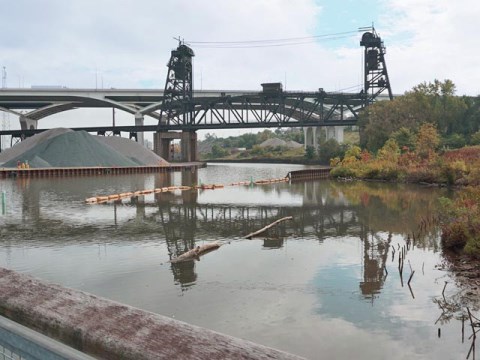
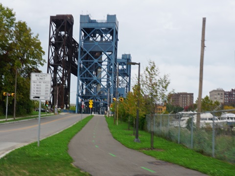
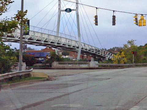
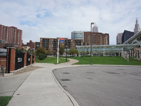
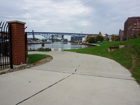
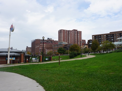
Canal Basin Park
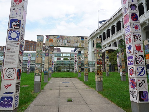
The northern terminus of the trail is at Canal Basin Park, 20 acres along the Cuyahoga River in The Flats area near Downtown Cleveland. Historically, it marks the juncture of the Canal with the Cuyahoga River. The park is next to the Detroit Superior Bridge and the Settler Landing rapid transit station. Adjacent parking and dog park. The Unity Walk features art by students at local schools.
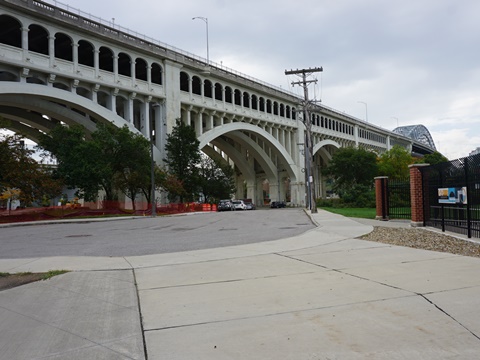
Some History: The Detroit Superior Bridge (1918), officially the Veterans Memorial Bridge, is listed on the National Register of Historic Places. The upper deck was built for motor vehicles, the lower for streetcars - each end has a streetcar station. The subway ran from 1917-1954. Today, the lower deck remains empty except for occasional tours.
Towpath Trail - South
This section is managed by Summit, Stark and Tuscarawas Counties. The Towpath Trail to the south consists of crushed stone, except for some paved and on-road sections in Akron. From Fort Laurens in Bolivar to its end at Rt. 800 in Zoarsville, the route is shared by the Zoar Valley Trail which continues to the south. Eventually, the Towpath Trail will extend to New Philadelphia, for a total of 101 miles.
Towpath at Navarre / Bolivar
Here we visited the area between Navarre and Bolivar, along the Tuscarawas River near the southern end of the trail... a shaded ride on crushed stone.
Nearby Places of Interest
Historic Zoar Village
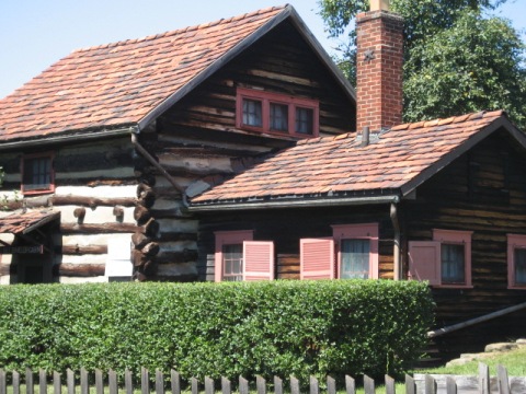
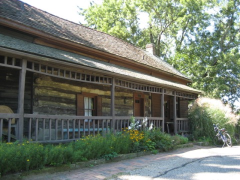
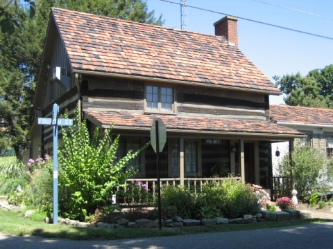
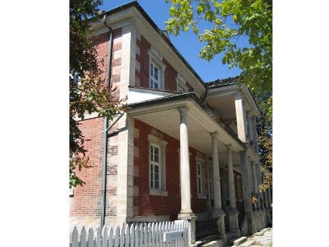
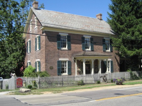
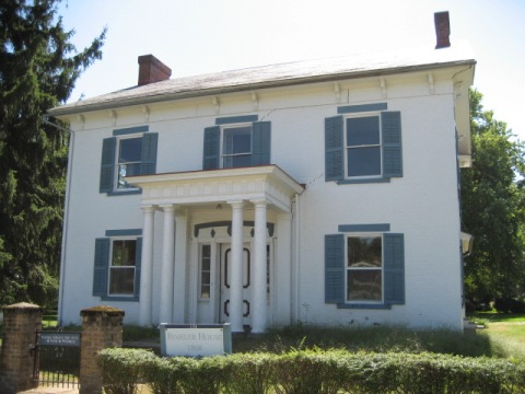
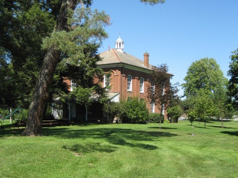
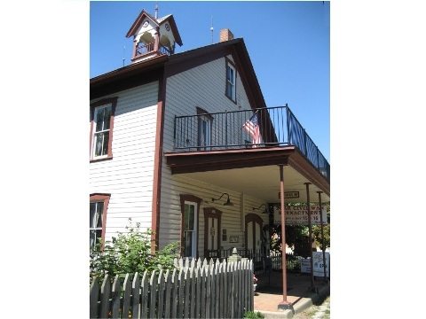
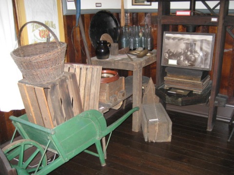
Near the end of the Towpath Trail in Zoarville, is Historic Zoar Village. Listed on the National Register of Historic Places, it was founded in 1817 by a group of German Christian dissenters (Zoarites) escaping religious persecution, and was home to the Society of Separatists of Zoar (a communal society) from 1819 to 1898. Many original structures remain, some serving as museums, some remain as private residences. This is a sampling... too many to show all here.
More Information and Resources
Nearby Biking:
Cuyahoga Valley National Park
Bike-Ohio - More bike
trails and information about biking in Ohio
Related Resources:
Ohio
& Erie Canal - Towpath Trail
Ohio & Erie Canal -
Bicycling
National Park Service - History of the Ohio & Erie Canal
National Park Service - Cuyahoga Valley National Park
Ohio to
Erie Trail
Support and Advocacy:
Ohio & Erie
Canalway Coalition
Canalway
Partners

Copyright © BikeTripper.net. All Rights Reserved. Have Bikes - Will Travel