Bike Tripper
Have Bikes, Will Travel
Bike Trail Maps & Photos Galore
You are here > Home >
Pennsylvania >
Allegheny River Trail
Latest update: June 2015
Allegheny River Trail...
Scenic Biking in the Allegheny Mountains
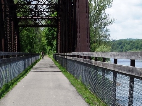
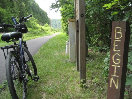
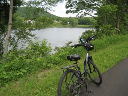
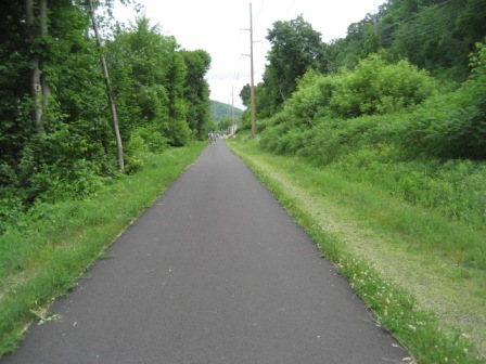
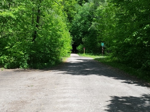
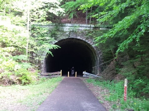
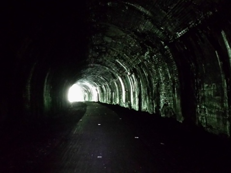
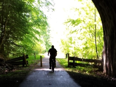
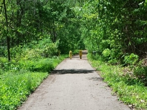
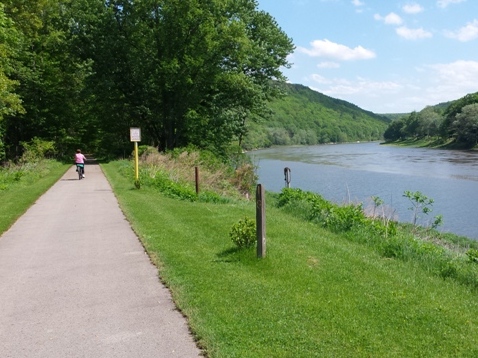
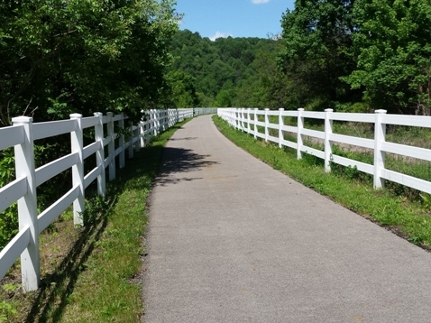
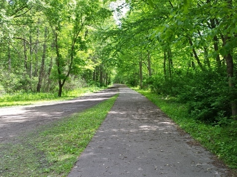
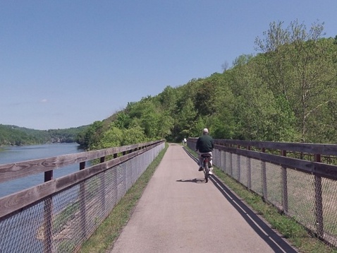
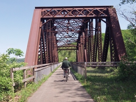
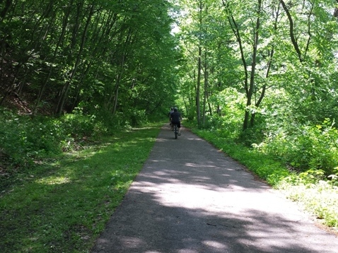
Allegheny River Trail runs from Franklin to Emlenton, PA, linking to the Samuel Justus Recreational Trail at Franklin for a combined 38 miles of paved biking along the Allegheny River and through woodland to Oil City. Old abandoned (and some working) oil wells, spectacular scenery through the Alleghenies and along the river. At the Belmar Bridge, the Allegheny Trail crosses the Sandy Creek Trail. Another shorter section then runs between Foxburg and Parker. (Detailed map and photos below.)
Location: Franklin to Emlenton, Venango and Clarion Counties, Pennsylvania (See map)
Distance: 32 miles
Surface: Paved
Support and Advocacy:
Allegheny Valley Trails Association 
Bike Shops/Rentals:
OARS-Outdoor Allegheny River Services (Franklin;
rentals)
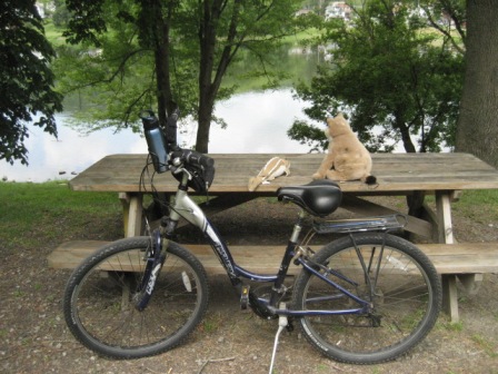
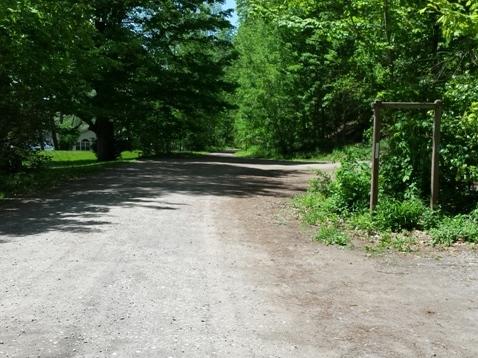
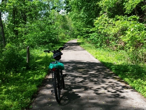
Biking Allegheny River Trail
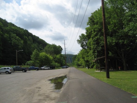
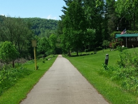
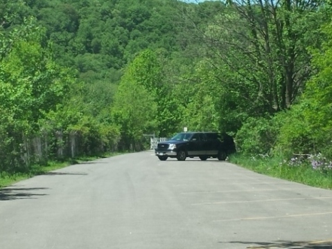
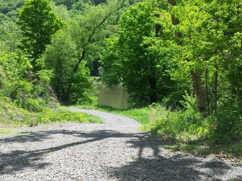
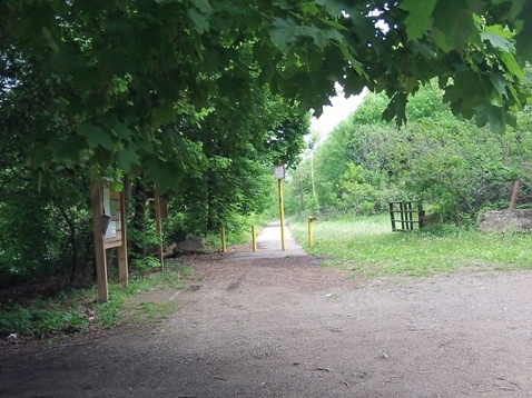
Trailhead at Franklin
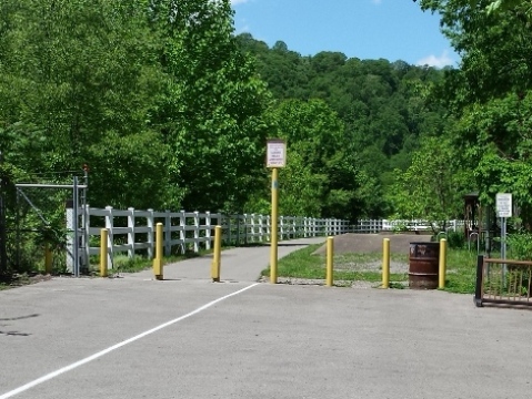
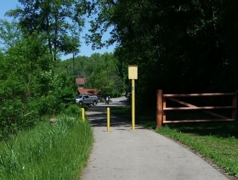
Link to Samuel Justus Recreational Trail
More Information and Resources
Nearby Biking:
Samuel Justus Recreational Trail
Sandy Creek Trail
Bike-Pennsylvania - More bike
trails and information about biking in Pennsylvania
Related Resources:
Allegheny Valley Trails
Association - Allegheny River & Samuel Justus Trails

Copyright © BikeTripper.net. All Rights Reserved. Have Bikes - Will Travel