Bike Tripper
Have Bikes, Will Travel
Bike Trail Maps & Photos Galore
You are here > Home >
South Carolina >
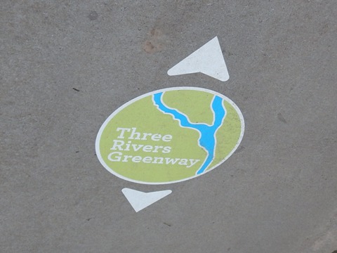
Three Rivers Greenway >
Cayce - West Columbia Riverwalk
Reported: June 2023
Cayce - West Columbia Riverwalk, Columbia, SC...
Part of the Three Rivers Greenway Trail Network
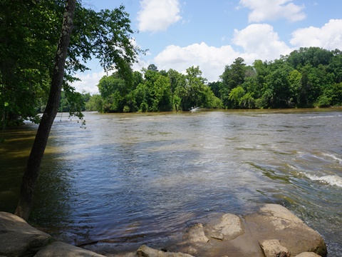
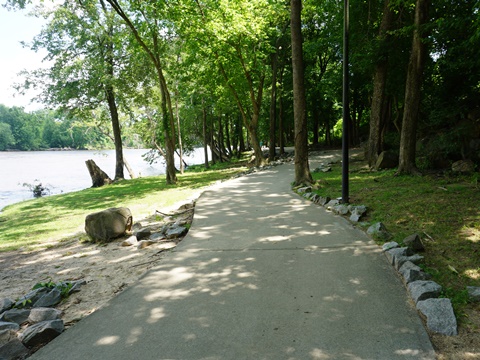
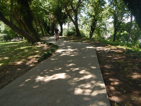
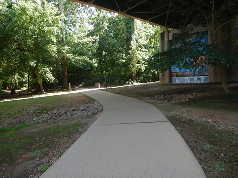
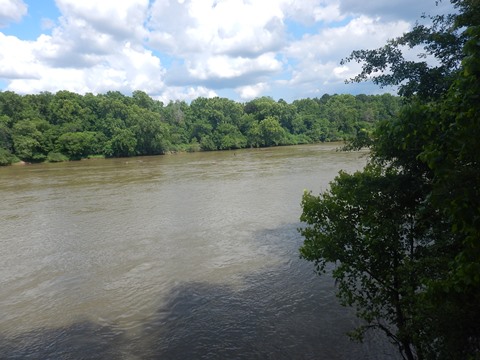
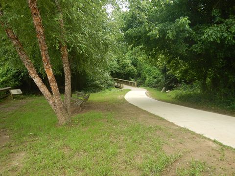
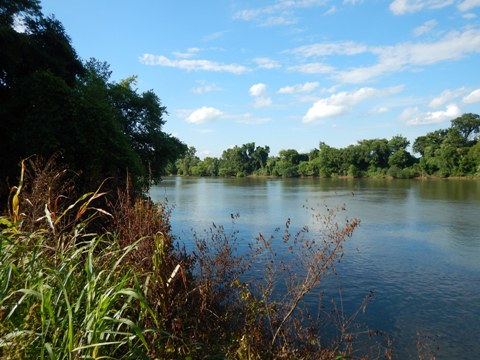
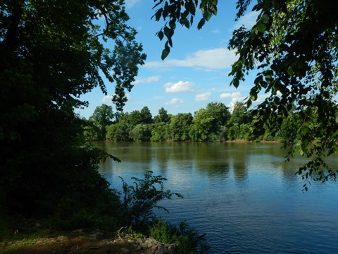
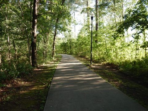
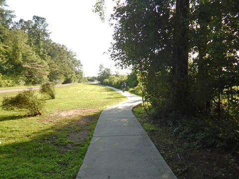
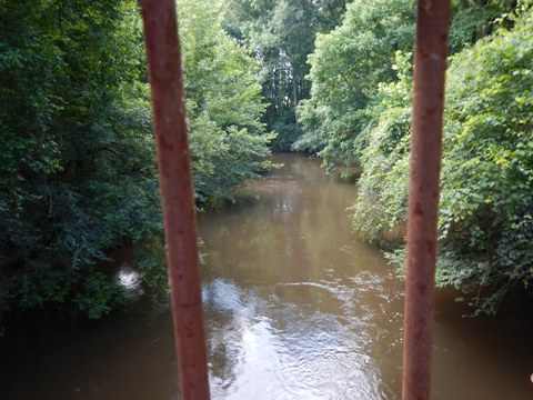
The Cayce-West Columbia Riverwalk, part of the Three Rivers Greenway runs on the west side of the Congaree River in sister cities West Columbia and Cayce, South Carolina. The West Columbia Riverwalk and Cayce Riverwalk link seamlessly, with similar characteristics. The trail sections are lighted and well marked, with a lot of shade and scenic river views. Rest stations, picnic areas, restrooms, historic sites and exhibits, and emergency call boxes are located along the way. There are few road crossings, with underpasses under main roads and bridges. (Detailed map and photos below.)
Location: Lexington County; SC (Cayce and West
Columbia) (See map)
Distance: 9+ miles
Surface: Paved, 8-10 feet
Nearby Places
of Interest: Cayce River Arts District, Congaree Creek Heritage Preserve,
12,000 Year History Park
Bike Shops/Rentals:
Cycle Center
 (sales, service)
Blue Bike SC
(bike-share rentals)
Biking at Cayce - West Columbia Riverwalk... Comments and Photos
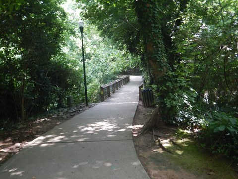
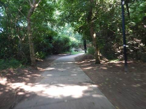
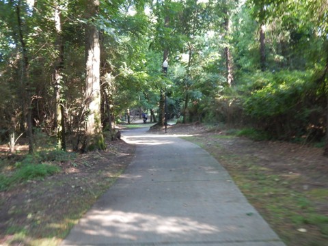
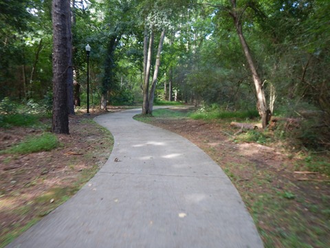
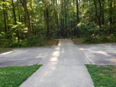
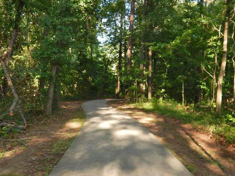
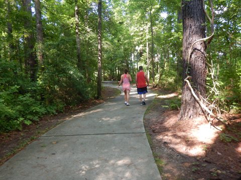
We describe three sections from north to south: West Columbia Riverwalk, Cayce Riverwalk, and Timmerman Trail (the southern end of Cayce Riverwalk). While easy to ride, be aware there are many twists and turns (designed to save surrounding trees); some may find this better suited to walking or hiking. Directional signs give information for both bikers and walkers. There is also a lot of history here, and we found ourselves stopping often to read the historic markers. Note: Portions may be closed from time to time due to maintenance or weather.

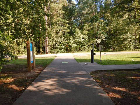
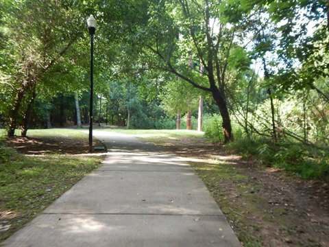
Typical signage
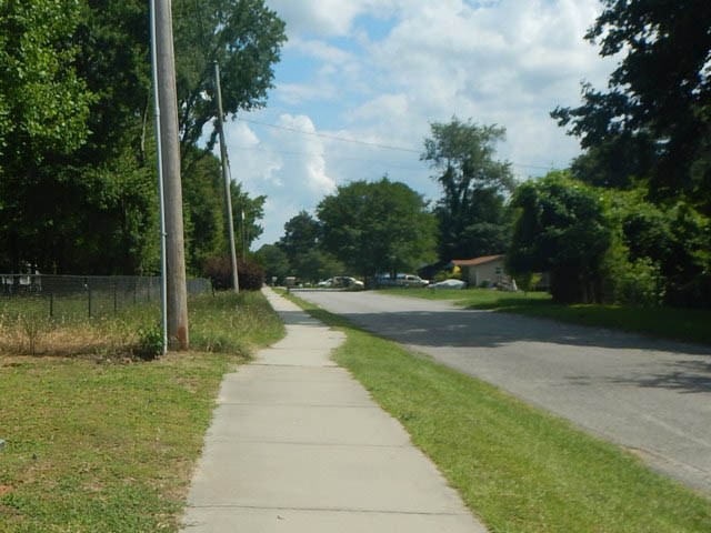
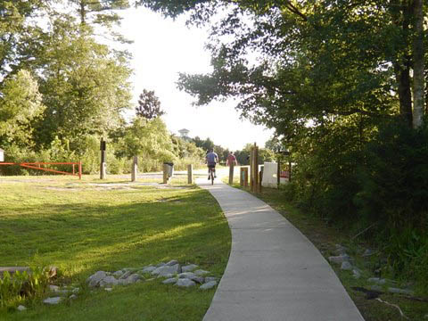
West Columbia Riverwalk - 1 mile
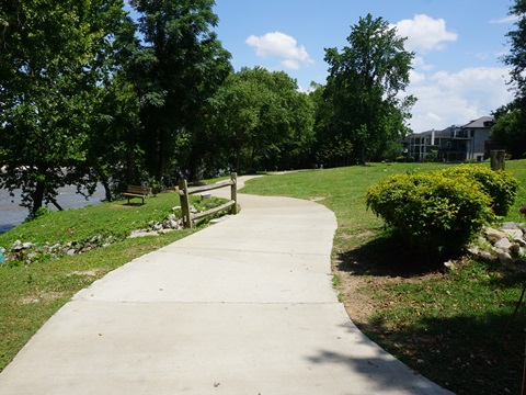
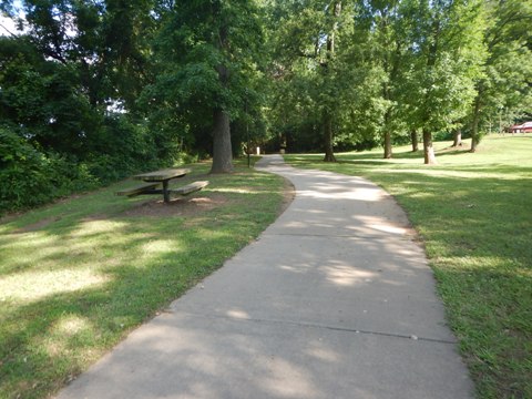
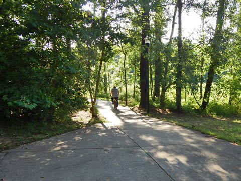
The West Columbia Riverwalk section of Three Rivers Greenway is a scenic, mostly shaded ride along the west bank of the Congaree River, across from Columbia. At its south end, it links to the Cayce Riverwalk.
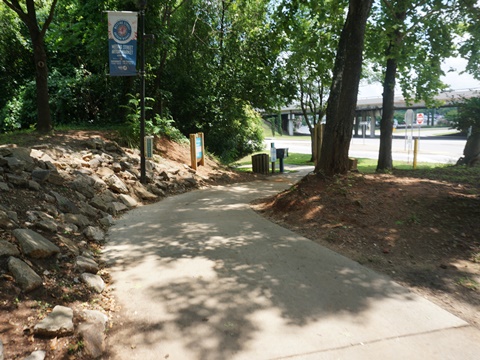
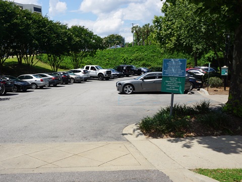
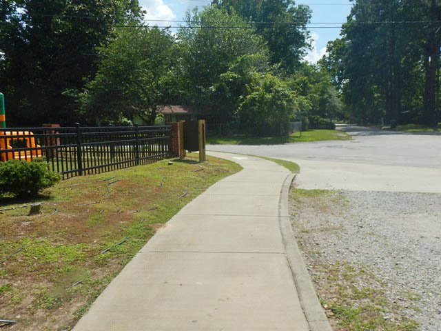
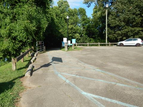
Moffatt St. Trailhead to West Columbia Riverwalk Park Trailhead
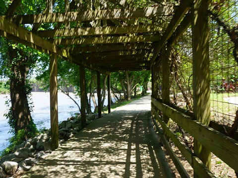
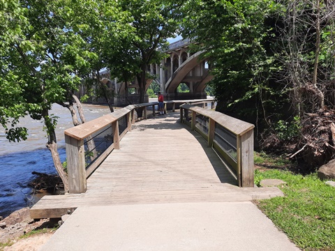
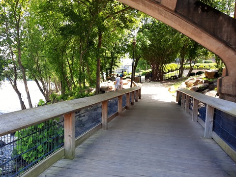
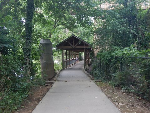
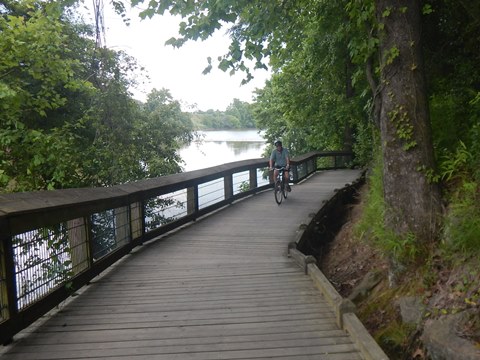
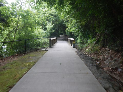
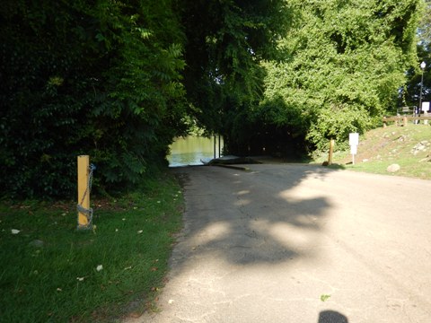
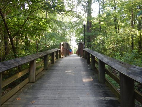
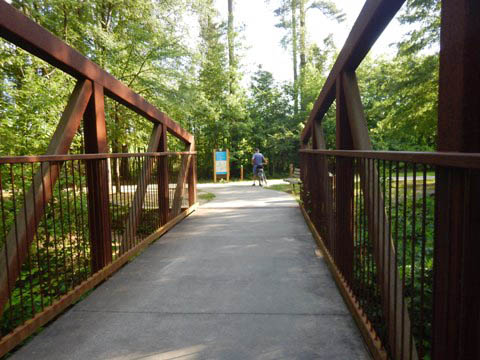
The West Columbia Riverwalk starts at the Moffatt St. Trailhead (parking, bike repair station) at the juncture of Sunset Blvd. (US 378) and Jarvis Klapman Blvd. (SR 12). It then runs about 2/10 through a wooded section parallel to Klapman Blvd. to the Congaree River (west shore). The next 4/10 mile runs riverside to the trailhead at West Columbia River Park along Alexander Rd., just past the Gervais St. bridge. This section runs past apartments and condominiums, widely separated from the trail as it runs under a covered arbor and over a boardwalk before passing under the Gervais St. bridge.


West Columbia Riverwalk Park Trailhead to Cayce Riverwalk
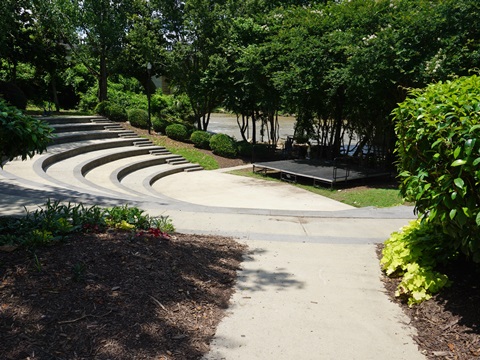
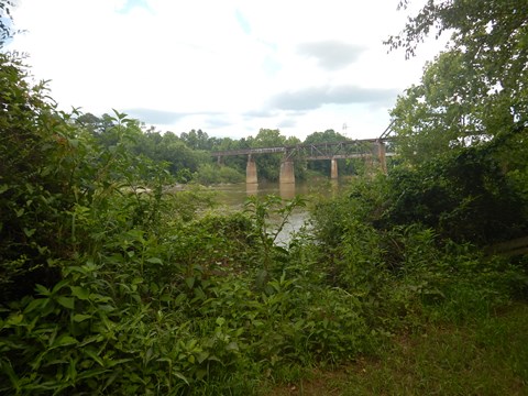
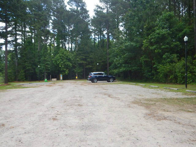
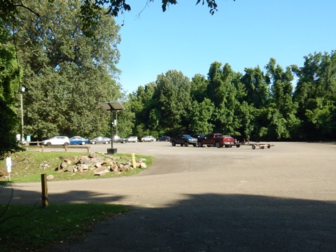
The trailhead, located just past the Gervais St. bridge, has parking, restrooms, and picnic tables, plus an Amphitheater available for special events. A paddling outfitter and launch also are located here (access point, Congaree River Blue Paddling Trail). The Riverwalk continues riverside another 4/10 mile where it transitions seamlessly to the Cayce Riverwalk at city limits, just before the Knox Abbott Drive (Rte. 321) bridge.
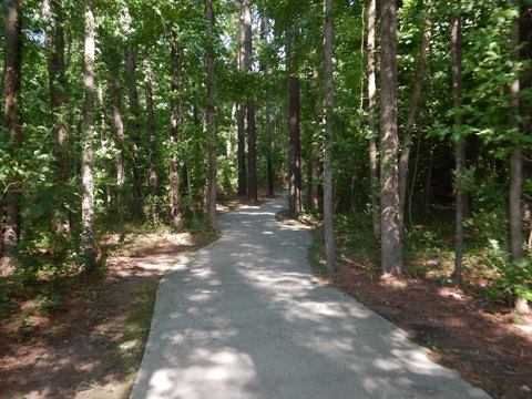
Cayce Riverwalk - 5 miles
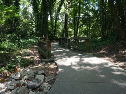
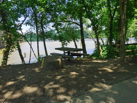
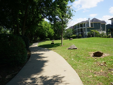
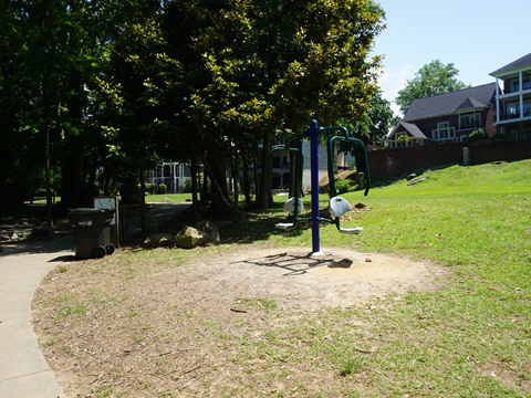
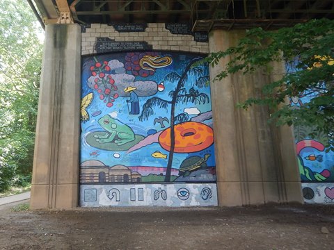
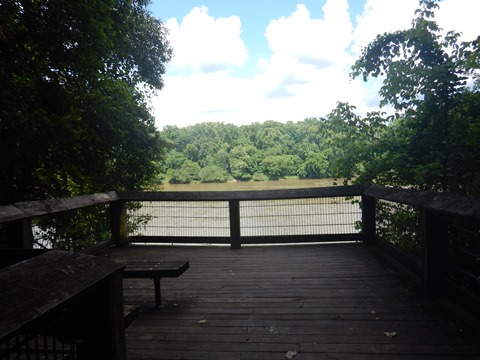
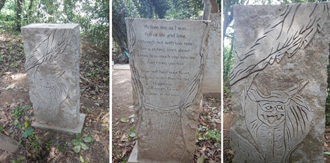
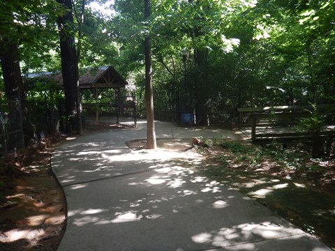
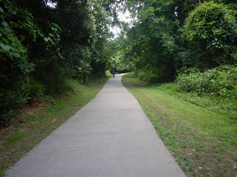
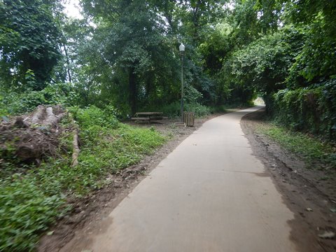
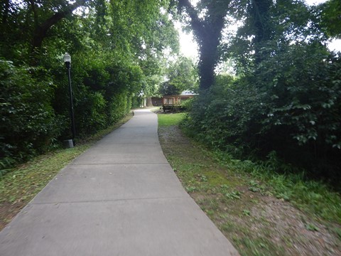
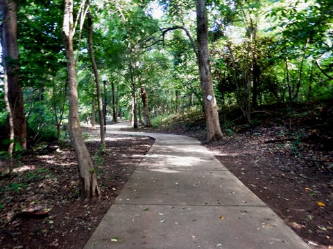
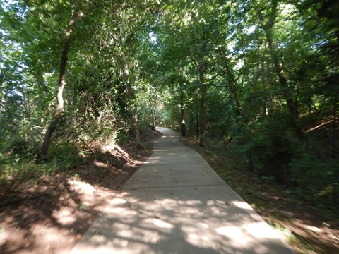
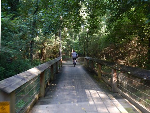
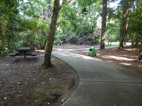
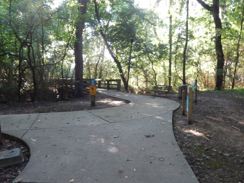
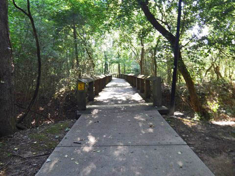
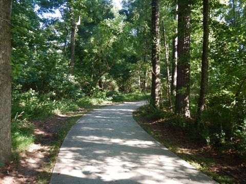
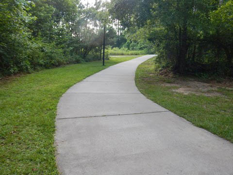
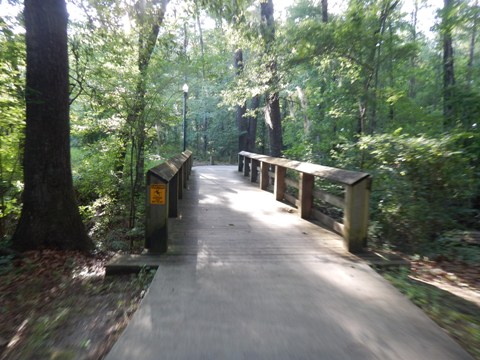
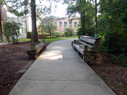
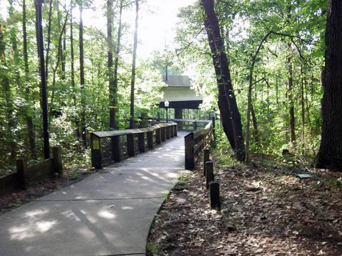
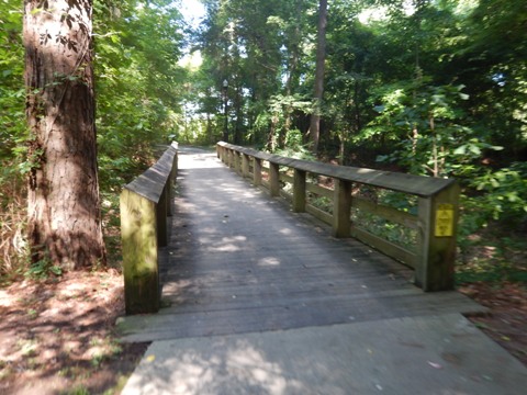
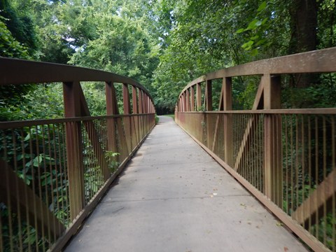
The Cayce Riverwalk section of Three Rivers Greenway runs along the western bank of the Congaree River, across from the City of Columbia and linked at the north to the West Columbia Riverwalk. The 10-foot-wide trail is mostly shady and scenic, but includes the most twists and turns of sections we visited. The trail was purposely built this way to preserve the surrounding trees - bikeable, but stay alert to the curving path and for pedestrians. Picnic tables, benches, bridges and boardwalks are located all along this section of the Riverwalk. Parking and restrooms are located at several points. Public art is also placed along the path.
Knox Abbott Dr. to H. Kelley Jones Park (2 miles)
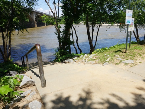
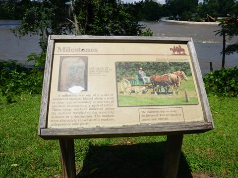
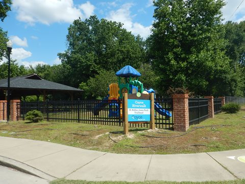
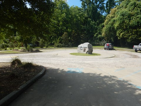
This is a scenic section with river views, benches, picnic tables and pavilions, viewing platforms, and boardwalks. It includes Cayce Riverwalk Covered Bridge, the Granby Settlement and other historic markers, Granby Locks, and trailside artwork. H. Kelley Jones Park has parking, restrooms, picnicking, playground.
History: The area was once known as the historic Colonial Village of Granby. Granby was the county seat of Lexington County, with river port and trading post. It's commercial significance declined with growth of the State Capital at Columbia.
Knox Abbott Dr. to Covered Bridge

Kelley Jones Park to Timmerman Trail (3 miles)
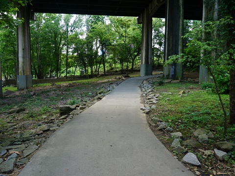
From Kelly Jones Park, the Riverwalk runs alongside Riverland Drive and Old State Road. At the Phase 3 Trailhead at Taylor Rd. (Cayce Riverwalk was built in 4 phases), it returns riverside and proceeds to Granby Landing Rd. and the Thomas Newman Public Boat Ramp (parking, boat ramp/launch, fishing pier, picnic). Past the boat ramp, the Riverwalk continues along the river with scenic views, bridges, benches and picnic tables. When you come to a "Y" intersection, you've reached the Timmerman Trail.
Kelley Jones Park to Thomas Newman Public Boat Ramp
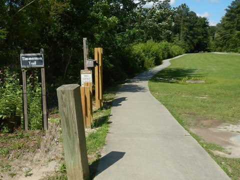
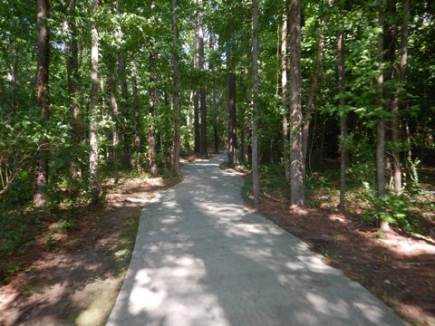
Timmerman Trail - 3 miles
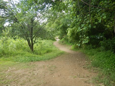
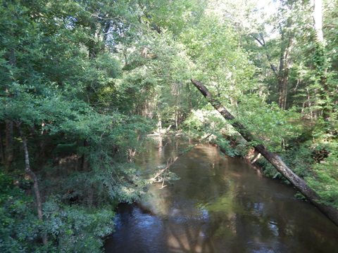
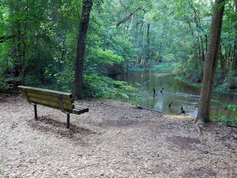
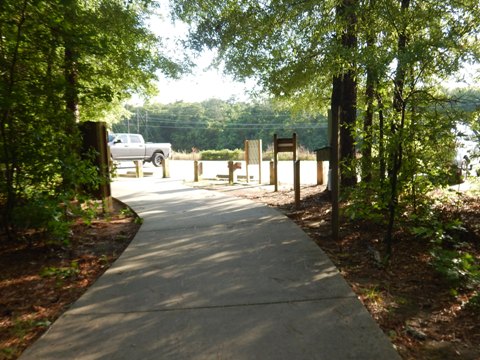
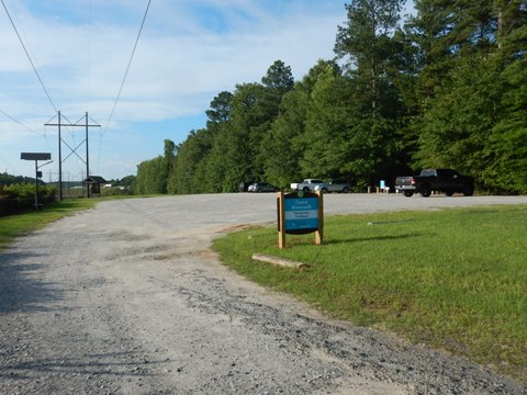
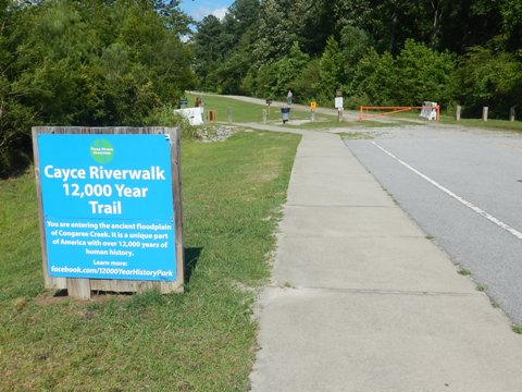
The Timmerman Trail comprises the southernmost section of the Cayce Riverwalk. As other section of Three Rivers Greenway and Cayce Riverwalk, it's paved and lighted with emergency call boxes. There are three ways to access the trail: from the Cayce Riverwalk at its south end, or from two Trailheads - one is behind the Cayce Tennis and Fitness Center (1120 Fort Congaree Trail), the other is the Timmerman Trailhead (Scana Parkway at 12th Street Ext.). This is a very scenic ride, winding through the floodplain forest around Congaree Creek - a natural area, various wildlife may be seen; bug spray is recommended. It's also an historic area including the 12,000 Year History Park, with many historical markers ranging from Native American, to British rule, to the Revolutionary War, to the Civil War.
Timmerman Trail Loop
The Timmerman Trail can be ridden as a loop, start from either trailhead, or from the Cayce Riverwalk. We continued from Cayce Riverwalk, taking the right leg. The first mile runs through a scenic section along the north side of Congaree Creek, with bridges and boardwalks, and many interpretative historical markers. It crosses Old State Road (originally, an Indian trail), which at this point was unpaved and muddy from recent rain, so we did not attempt to ride. After crossing a long boardwalk over Congaree Creek, the trail arrives at a "T" intersection, - go right to Timmerman Trailhead, or left to Cayce Tennis Center Trailhead.
To Timmerman Trailhead
From the "T", this section runs about 3/4 mile, passing under 12th St. Ext. Trailhead is parking only.
Cayce Tennis Center back to Cayce Riverwalk
From the Cayce Tennis Center Trailhead back to the starting point at Cayce Riverwalk is about one mile along the south side of Congaree Creek. Scenery is similar to the rest of the loop.
12,000 Year History Park
The 12,000 Year Trail starts from the Cayce
Tennis Center Fitness Trailhead and runs through the 12,000 Year
History Park as part of the Timmerman Trail.
Interpretative markers tell the story, from Native American, to
British Rule, to Revolutionary War, to the Civil War's Congaree
Battlefield and earthworks. The City of Cayce offers guided tours on
summer weekends
(see
more history and tour schedule
).
More Information and Resources
More Biking:
Three Rivers Greenway-Overview
- Columbia Riverwalk
- Cayce-West Columbia Riverwalk
- Saluda Riverwalk
Bike-South Carolina
- More information about biking in South Carolina
Related Resources:
Greater CWC Chamber and Visitor Program - Riverwalk
City of
Cayce - Riverwalk and Trails
The
River Alliance - Three Rivers Greenway
Experience Columbia - Three Rivers Greenway
Support and Advocacy:
The
River Alliance

Copyright © BikeTripper.net. All Rights Reserved. Have Bikes - Will Travel