Bike Tripper
Have Bikes, Will Travel
Bike Trail Maps & Photos Galore
You are here > Home >
South Carolina >
Spanish Moss Trail
Reported: October 2023
Spanish Moss Trail, Beaufort, SC...
Showcase Trail through South Carolina's Lowcountry
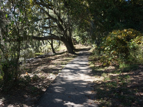
The paved Spanish Moss Trail follows a former Magnolia Line (Port Royal Railroad) rail line through South Carolina’s Low Country. Popular with bikers, walkers and runners, the trail displays two personalities: (1) running through Spanish moss-draped neighborhoods, and (2) crossing wetlands with broad views of the salt marshes. The trail also is part of the East Coast Greenway. (Detailed map and photos below.)

Location: Beaufort County, SC (See map)
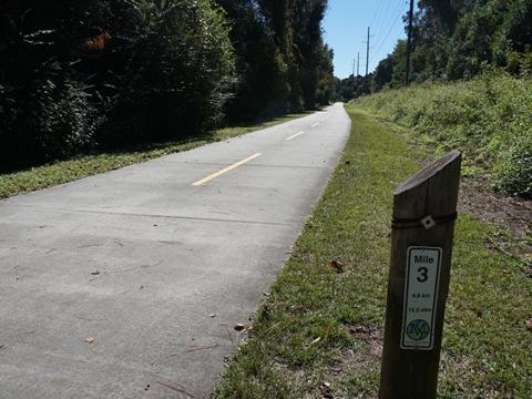
Distance: 10 miles, 16 when completed
Surface: Cement, 12 feet
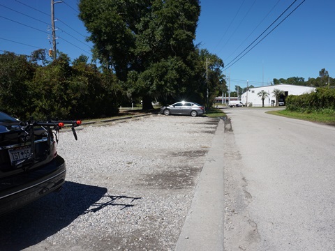
Trailheads/Parking: Clarendon Road, Roseida Road, Beaufort Plaza,
Depot Road, Broome Lane, Westvine Drive
Nearby Places of Interest: Spanish Moss Train Depot,
Beaufort Historic District, Cypress Wetlands, Fort Frederick Heritage Preserve
Support and Advocacy:
Friends of the Spanish Moss Trail 
PATH Foundation
Bike Shops/Rentals:
Lowcountry Bicycles
(rentals, sales, service)
Page Summary:
- Biking the Spanish Moss Trail
- Clarendon Rd. Trailhead to Beaufort Plaza
- Beaufort Plaza to Depot Rd. Trailhead, the Depot
- Depot to Trail End
- Cypress Wetlands
- More Information and Resources
Biking Spanish Moss Trail... Comments and Photos
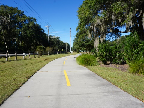
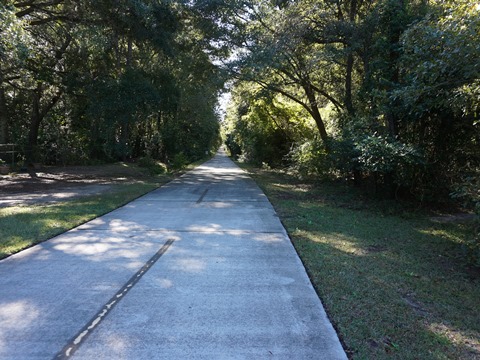
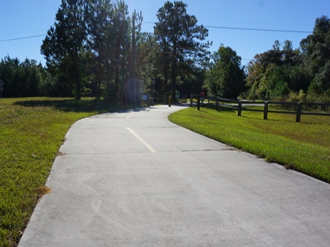
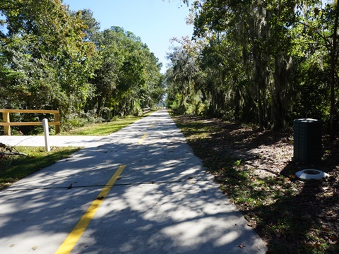
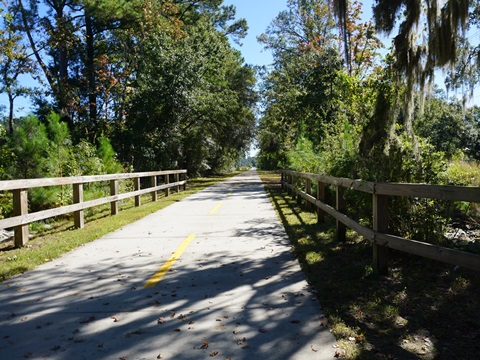
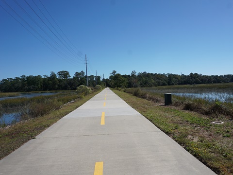
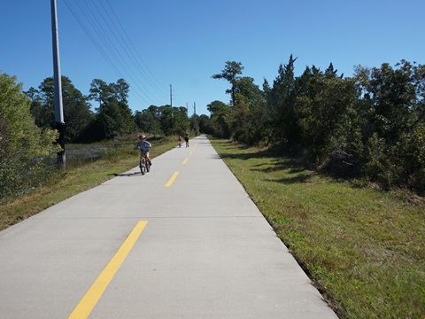
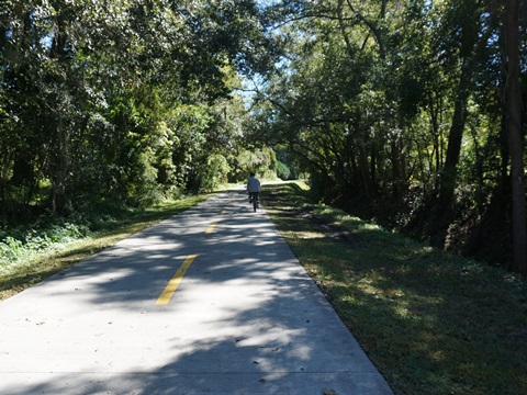
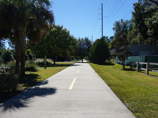
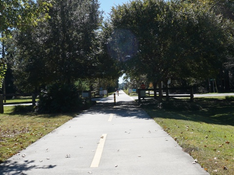
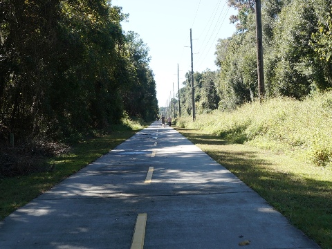
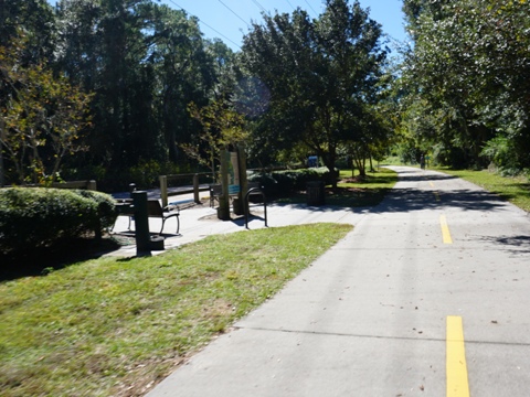
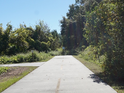
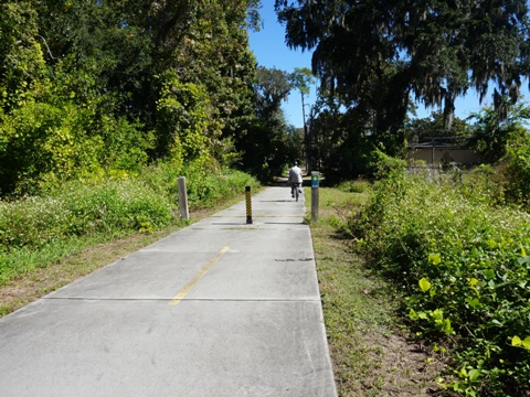
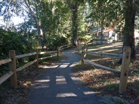
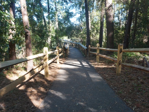
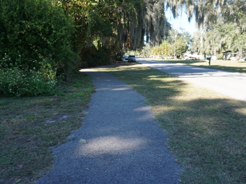
The Spanish Moss Trail is flat and easy to ride, with mixed
shaded and unshaded sections. Benches and historic markers are
located regularly. While there are few amenities on the trail,
facilities are nearby at shops and restaurants. There are numerous
road crossings, so do take care and use crossing lights when
available. Sections may be closed due to weather, maintenance or
construction... check
for closures
Here, we visit the trail from north to south.
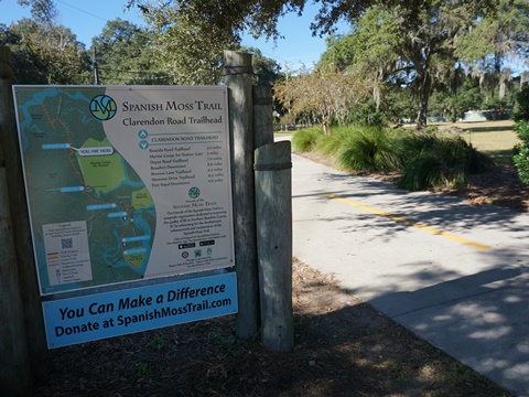
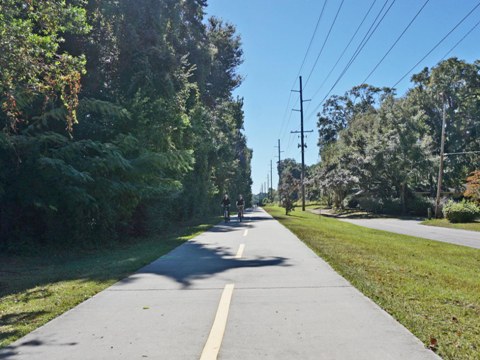
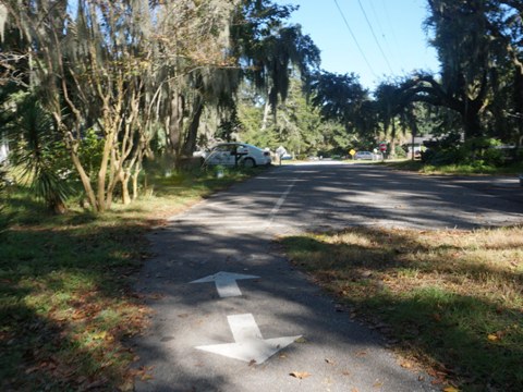
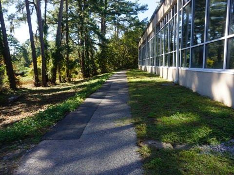
Clarendon Rd. Trailhead to Beaufort Plaza (6 miles)
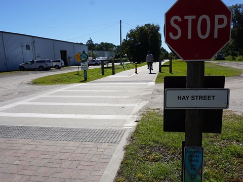
The trail here runs through a lightly wooded section, close to residences and businesses. with several road crossings - be especially careful at SC 170 (Robert Smalls Pkwy.), use crossing signals).
In this section:
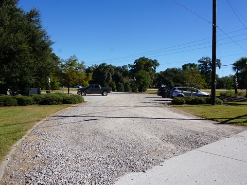
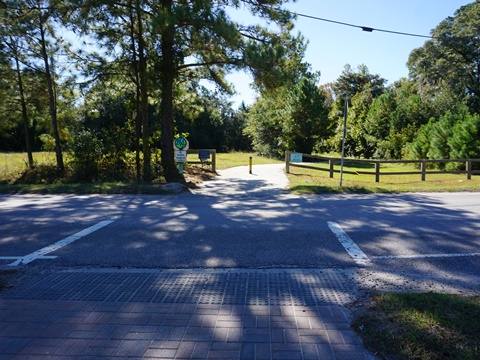
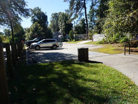
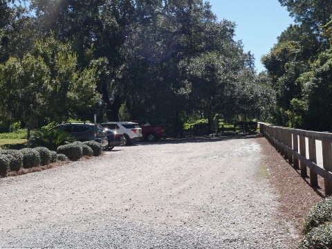
- Clarendon Rd. Trailhead (parking, convenience store nearby)
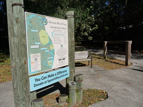
- Roseida Rd. Trailhead (parking, bike rack, benches, convenience store nearby)
- Beaufort Plaza (parking, shops, restaurants)

Beaufort Plaza to Depot Rd. Trailhead (1 mile)
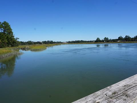
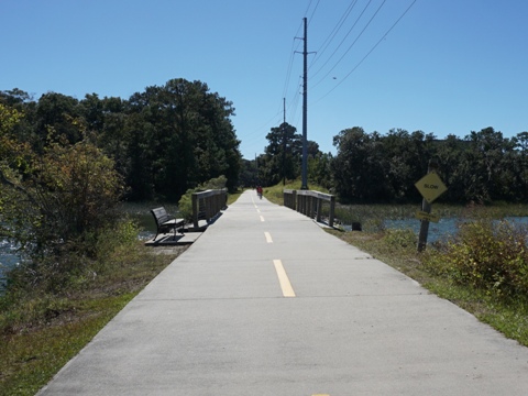
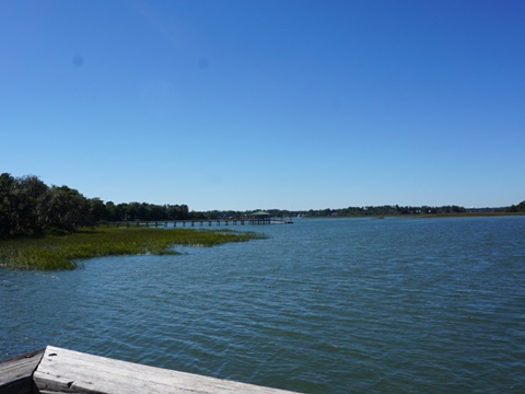
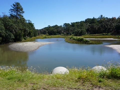
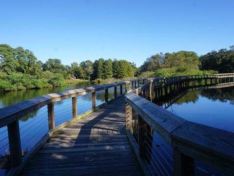
Past the shopping plaza, the trail comes to the Ealey's Trestle fishing access, with broad views of the wetlands. It then continues with mixed sun and shade past neighborhoods, emerging roadside along Depot Rd. to the trailhead. In the future, a link to Downtown Beaufort from here is planned.
In this section:
- Depot Rd. Trailhead (parking, benches, fix-it-station, port-a-potty)

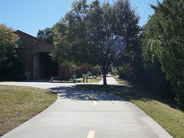
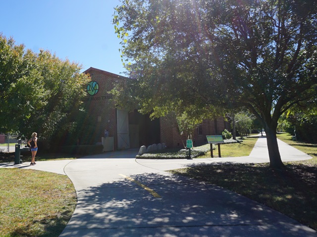
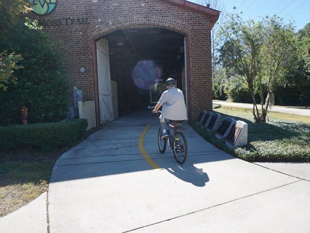
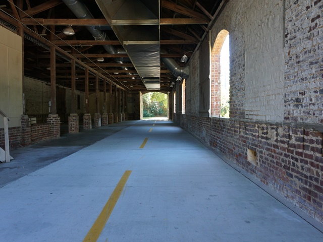
The Depot
Just past the trailhead is the original Port Royal Railroad Depot, once the center of Beaufort's industrial complex. The trail runs through the Depot. A parallel trail runs outside, but most prefer to bike through the depot.
History: The railroad was chartered in 1857, and after delayed by the Civil War, constructed 1870-73. The railroad carried passengers and local goods, but fell on hard times. The idea to plant a magnolia tree at each mile marker led to the new name - the Magnolia Line.
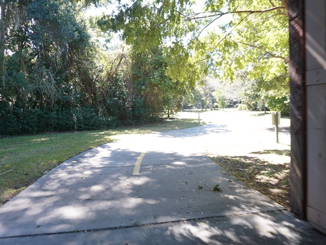
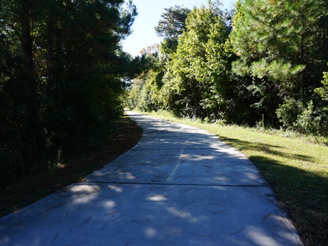
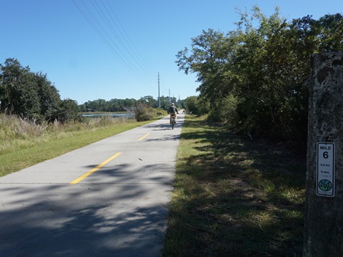
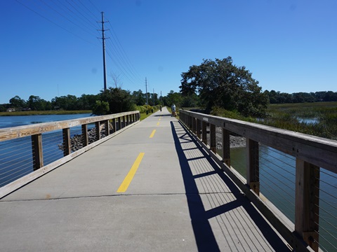
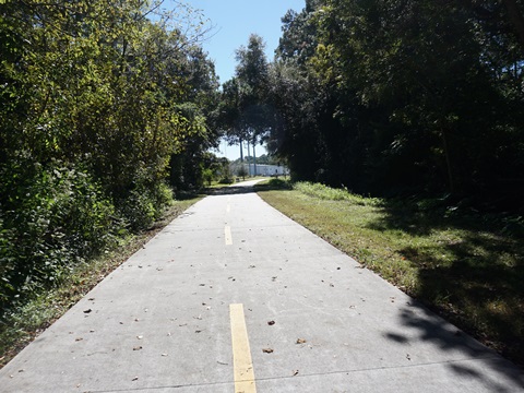
Depot to Trail End (3 miles)
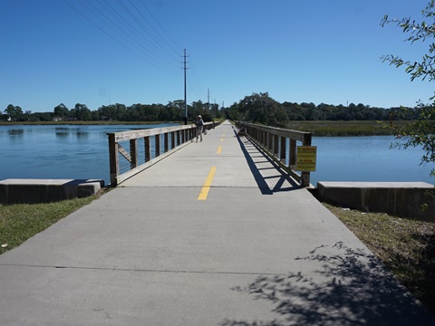
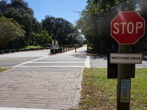
This section continues mostly unshaded past neighborhoods, with marsh views crossing the Mather Trestle across Battery Creek and at a few other areas open to the marsh. There are several road crossings and the trail runs alongside roadways in a couple areas - none busy. From the Westvine Dr. trailhead to the temporary trail end is about 1/4 mile. An extension into Port Royal and Sands Beach is in the works; in the meantime, a path off the trail leads to a street route into town.
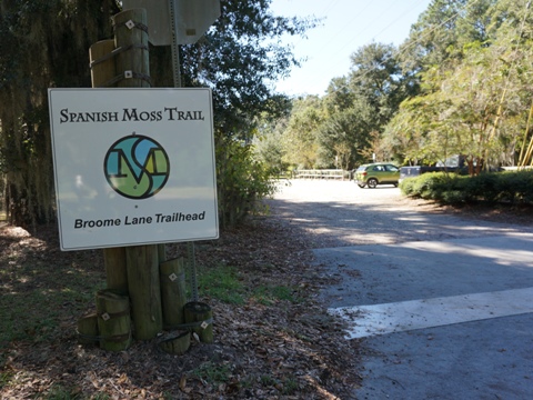
In this section:
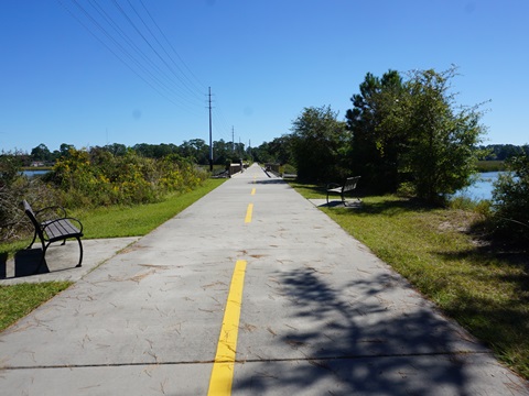
- Broome Rd. Trailhead (parking, benches, water, port-a-potty)
- Westvine Dr. Trailhead (parking, benches, water)
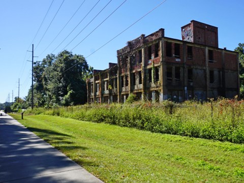
- Remains of the Seacoast Packing Company (1920), listed on the National Register of Historic Places.

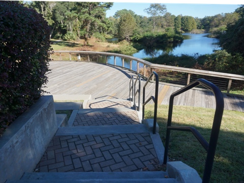
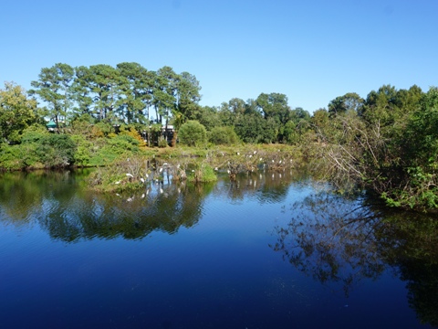
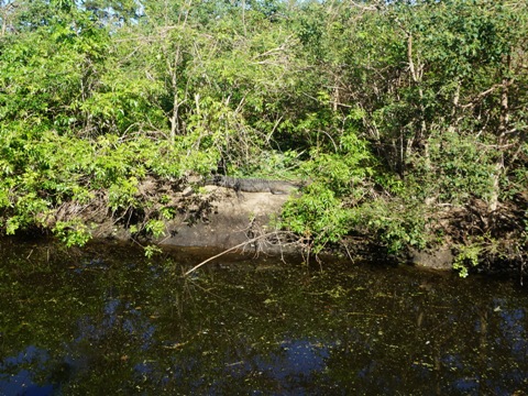
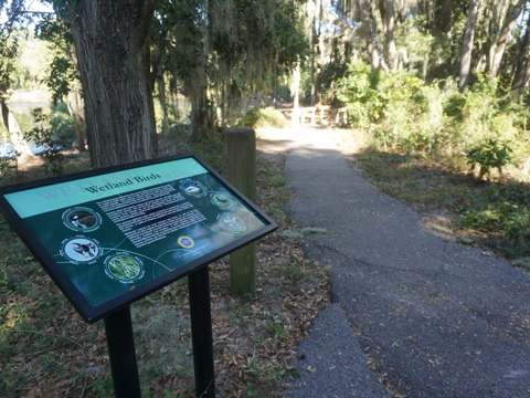
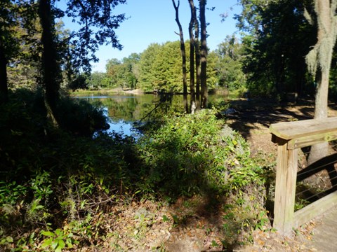
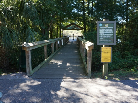
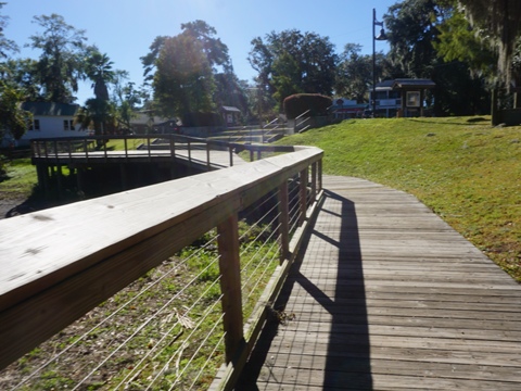
Cypress Wetlands & Rookery
The Cypress Wetlands & Rookery is a gem in Port Royal with an amphitheater and 6/10 mile boardwalk popular for wildlife viewing that circles the rookery. Interpretative signs tell about the area and wildlife. The wetlands entrance is on Paris Ave. in Old Village Port Royal, near shops and restaurants. The nature trail starts at the amphitheater, running on boardwalk and paved pathway, with a short portion on a sidewalk roadside. Street parking is available along Paris Ave., or along the sidewalk on Richmond Ave. near the YMCA.
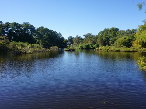
The manmade wetlands serves both as a habitat for many birds and
wildlife, and as a stormwater treatment area to filter the runoff
from surrounding neighborhoods before flowing into local waterways.
More information from Friends of the Cypress Wetlands
More Information and Resources
More Biking:
Bike-South Carolina
- More information about biking in South Carolina
Related Resources:
Friends of
the Spanish Moss Trail - Visit
PATH Foundation - Spanish Moss Trail

Copyright © BikeTripper.net. All Rights Reserved. Have Bikes - Will Travel