Bike Tripper
Have Bikes, Will Travel
Bike Trail Maps & Photos Galore
You are here >
Home >
Virginia >
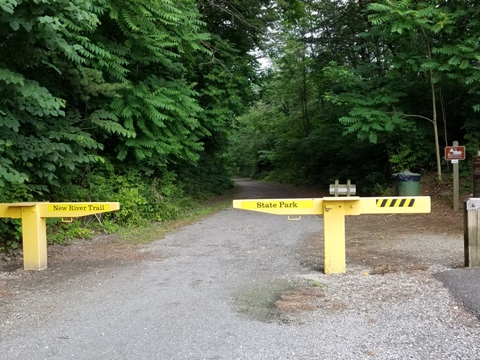
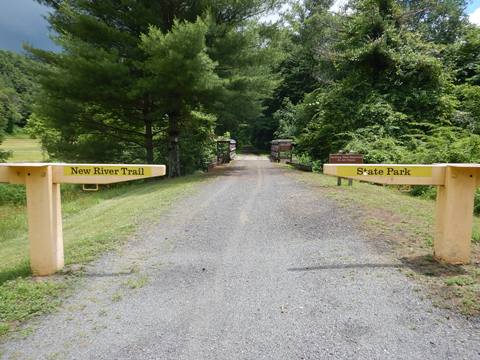
New River Trail State Park
Latest update: June 2019
New River Trail State Park...
Scenic Virginia Bike Trail, 37 Miles, Tunnels, Bridges
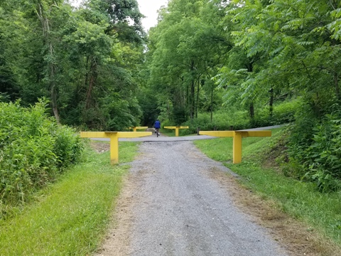
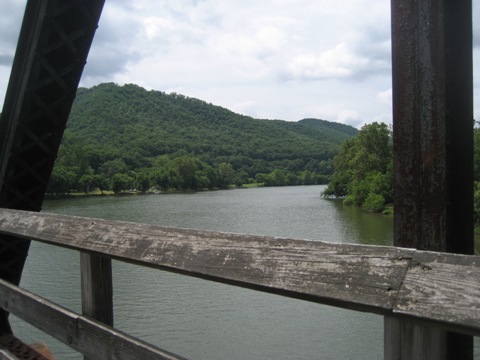
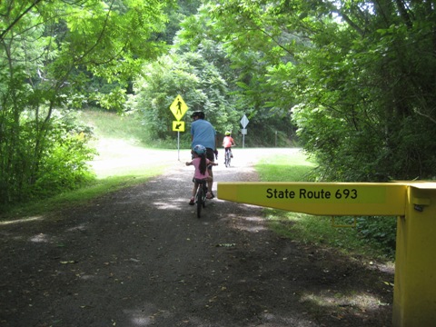
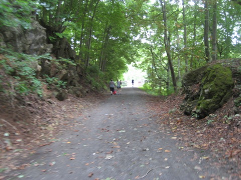
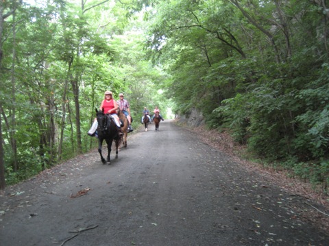
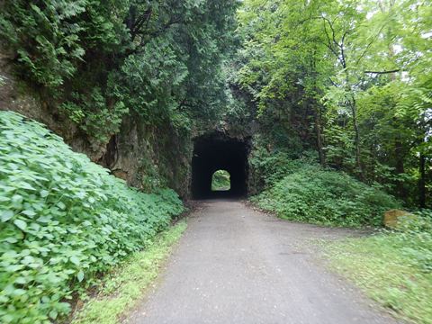
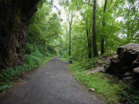
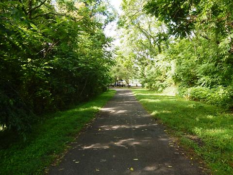
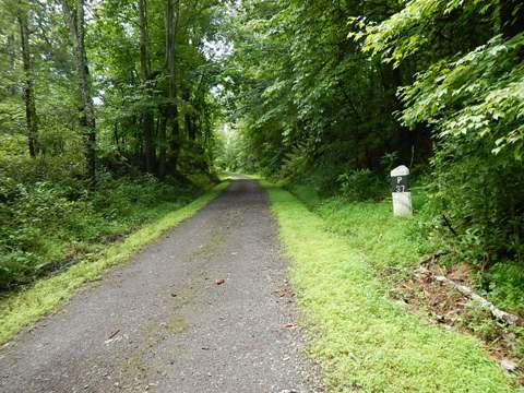
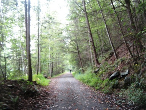
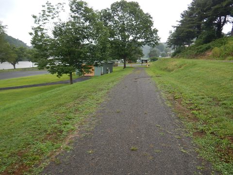
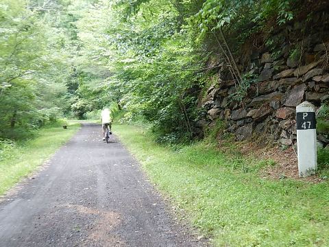
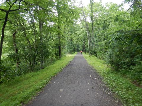
The 57 mile New River Trail is a linear state park, and is a designated National Recreational Trail. 37 miles follow the New River which, contrary to its name is the second oldest river in the world (after the Nile). The trail runs on the old rail bed of the Norfolk Southern Railroad, which donated the land. With two tunnels, three major and 30 smaller bridges, this is a diverse ride with stunning scenery. The trail surface, while not paved is relatively flat and smooth, an easy ride for most type bikes. State Park parking fee applies (one purchase is good for all trailheads/access points visited in a day). (Detailed map and photos below.)
Location: Pulaski to Galax, spur to Fries; Carroll, Grayson, Pulaski and Wythe Counties, Virginia (See map)
Distance: 57 miles
Surface: Cinder and limestone
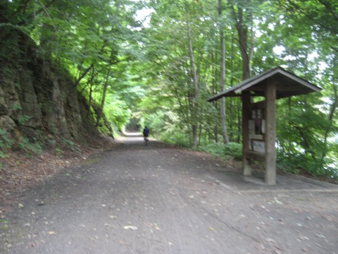
Trailheads/Access: See map, or a
list here 
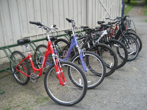
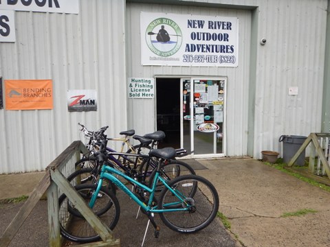
Bike Shops/Rentals:
New River Outdoor Adventures (Galax;
rentals, shuttle)
New River
State Park - Foster Falls
Page Summary:
- Biking the New River Trail
- Pulaski to Draper
- Hiwassee Access
- Foster Falls State Park
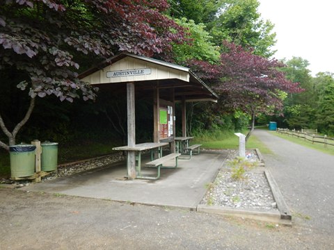
- Foster Falls to Austinville
- Austinville to Ivanhoe
- Byllesby Dam Access
- Fries Junction-Fries Extension
- Gambetta to Cliffview
- Cliffview to Galax - More Information and Resources
Biking the New River Trail... Comments and Photos
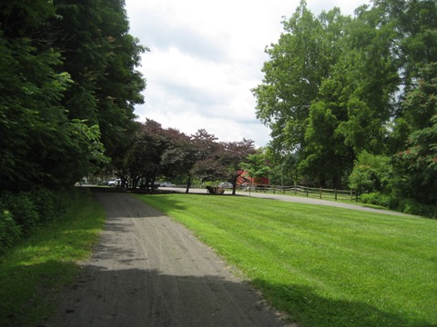
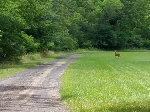
Riding north to south, the trail is mostly but not exclusively uphill; the mild grades are bikeable for most.
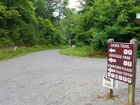
Pulaski to Draper (P1-P6)
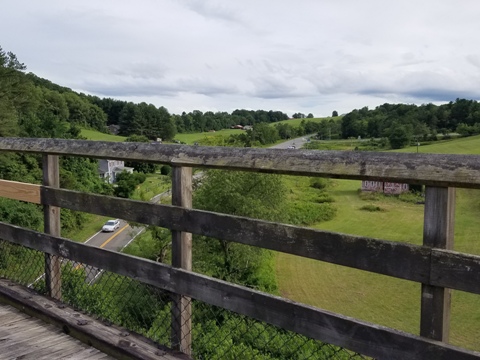
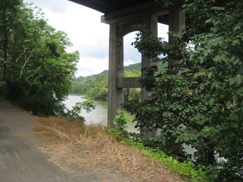
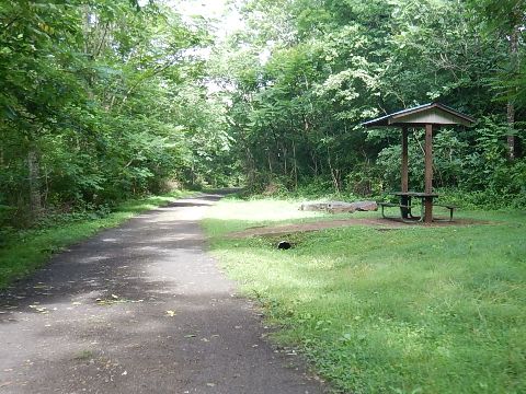
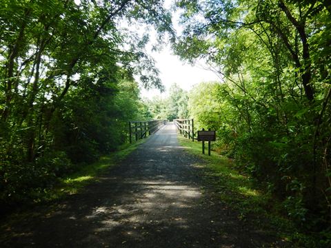
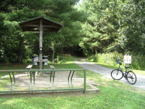
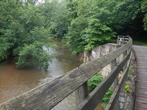
Several bridges provide scenic views. The Dora Trail links to downtown Pulaski at Dora Junction. This section of the trail is not along the river. Draper has parking, picnic, restrooms.
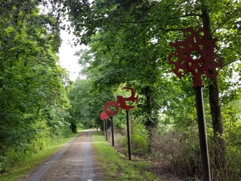
Trail Art - Ghost Train
Between Pulaski and Draper, note the Ghost Train art... view the sculptures through the telescope, a train image will emerge. Artist Harry McDaniel, funded by a grant to the Fine Arts Council for the New River Valley.
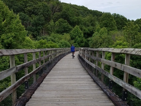
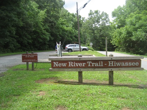
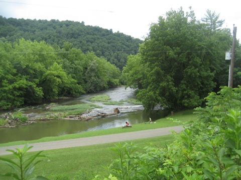
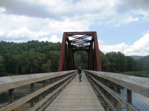
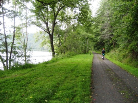
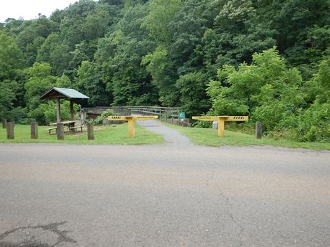
Hiwassee Access (P10)
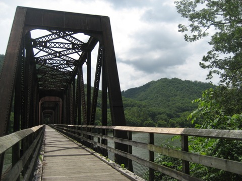
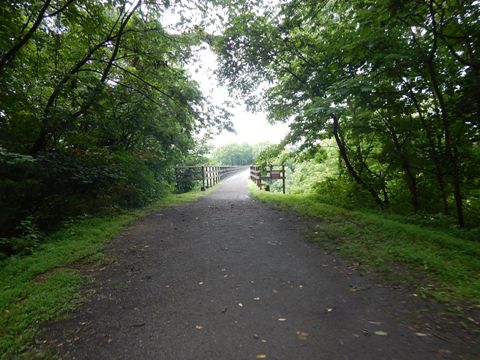
This section parallels the river. The Hiwassee Trestle (950 feet) is a notable feature
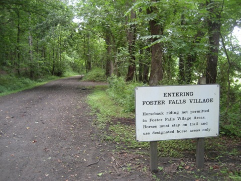
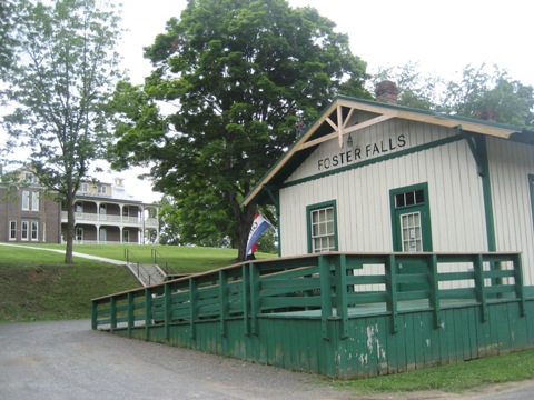
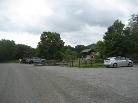
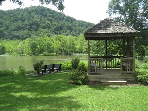
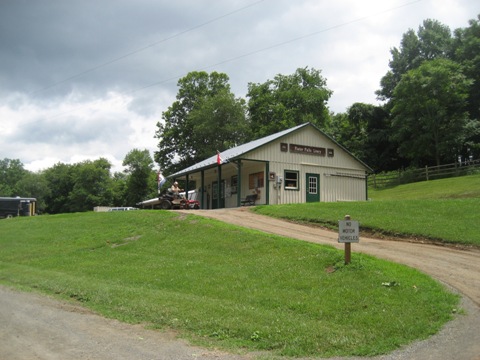
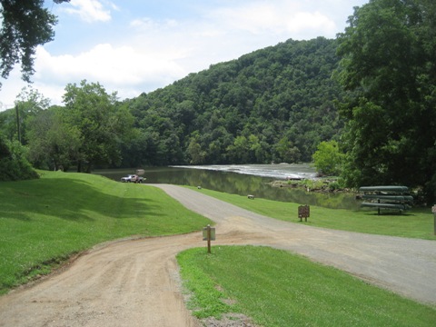
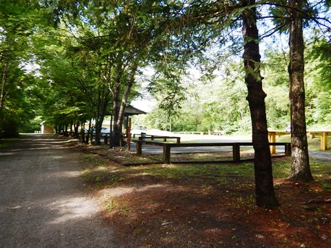
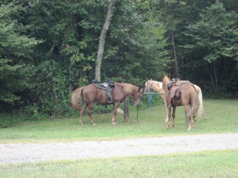
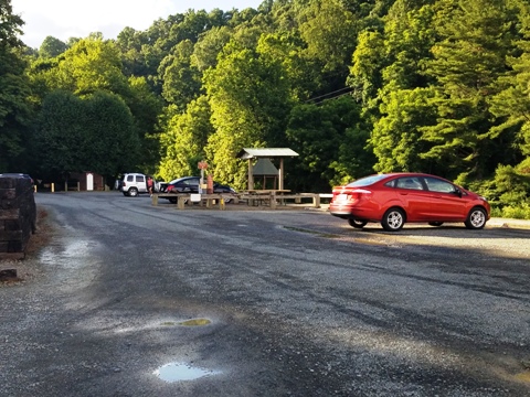
Foster Falls State Park (P24)
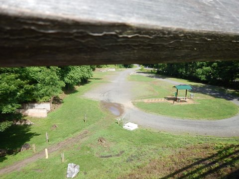
The main park office is located here. Parking, boat launch, gift shop, horse livery, picnic, playground, camping. Bike and kayak/canoe/tube rentals available at the Camp Store. The Foster Falls Hotel on site (now empty) was built in 1887 for employees of the mining industry.
Foster Falls to Austinville (P24-28)
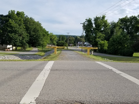
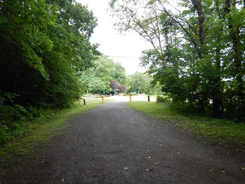
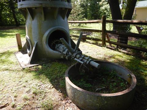
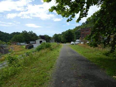
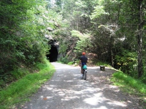
Notable in this section are: (1) the historic Shot Tower at Shot Tower State Park - built in 1807 to manufacture ammunition for firearms, it's one of only a few still remaining, and (2) a tunnel. Austinville Access has parking, portalet, picnic tables, equestrian staging area, and nearby boat ramp.
Austinville to Ivanhoe (P28-31)
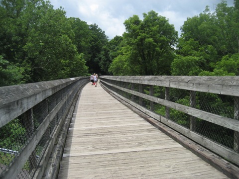
This section is a pleasant ride featuring the Austinville Trestle. Ivanhoe Access has parking, restrooms, picnic, and historic exhibits with relics of the mining and quarrying industries once centered here. The Ivanhoe Furnace was once located here, processing iron ore for the Hendricks Company.


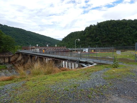
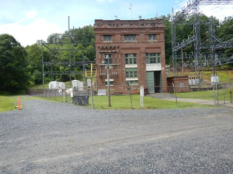
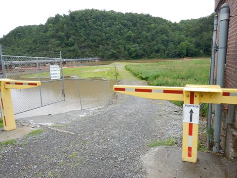
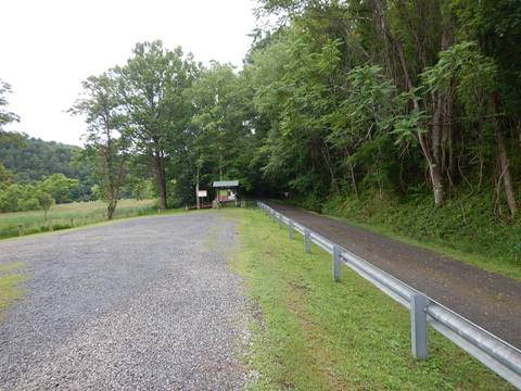
Byllesby Dam Access (P37)
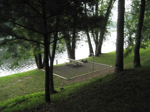
Between Ivanhoe and Fries Junction are Buck Dam and Byllesby Dam. This is a remote area with no convenient road connection to the dams - visit via the trail but be prepared for long stretches with no facilities. We drove to Byllesby Dam just to see it. Parking, boat portage at the dam.
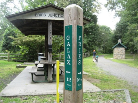
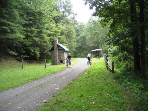
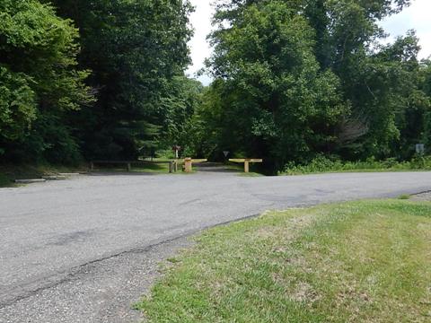
Fries Junction (P40)
The trail splits at Fries Junction. To the east, the main trail leaves the river and follows Chestnut Creek to Galax, passing Gambetta and several other access points. To the west, a trail extension runs along the river to Fries. No road access, bike only. Restroom and picnic tables available.
Fries Junction to Gambetta Access (P40-42)
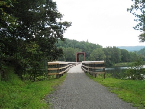
Scenic, easy ride along Chestnut Creek, Fries Junction Bridge (1,089 feet) at the juncture of Chestnut Creek and New River and a tunnel are notable features. Gambetta Access had roadside parking and picnic tables.

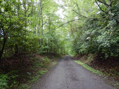
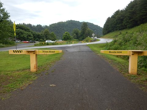
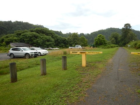
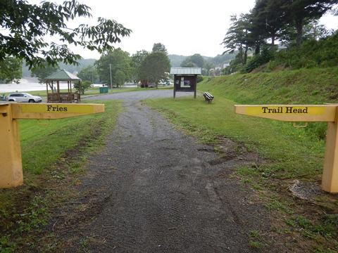
Fries Junction to Fries (P40-45 ext.)
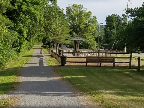
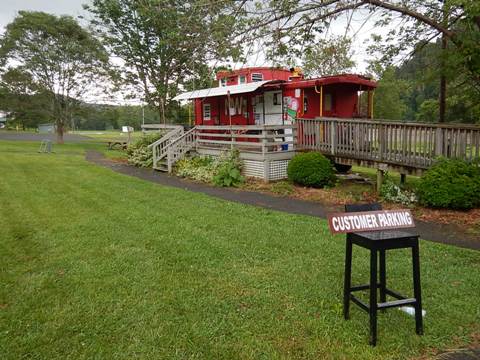
From Fries Junction, a trail extension runs along the river to Fries. Parking is located along the way at Route 606 (Fries Road), plus an outfitter and store with restrooms, refreshments. The Fries Trailhead has parking, restrooms, picnic, playground, and boat ramp. A caboose serves as a snack bar (summer season).

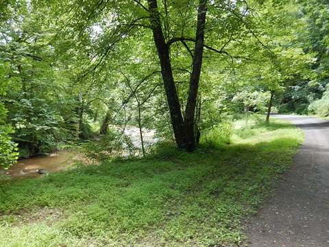
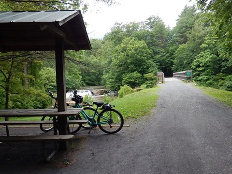
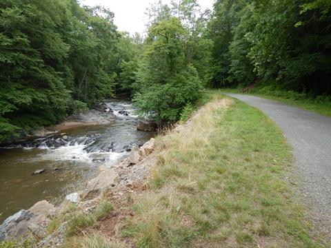
Gambetta to Cliffview (P42-49)
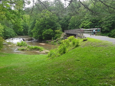
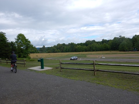
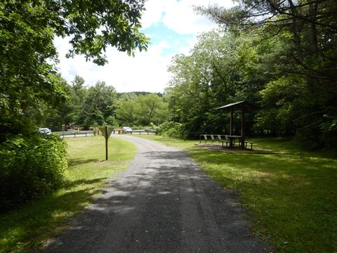
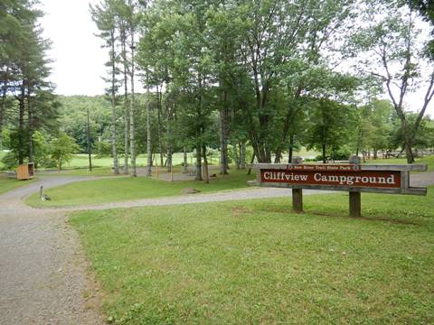
This is one of the prettiest sections of trail with lovely creek views, and the BEST picnic spot next to a waterfall. Chestnut Ford Access is about midpoint at Iron Ridge Rd./Rte. 607 (parking and picnic table). Dannelly Park (Dr. Edward Dannelly III Fitness Complex) at about P48 is a great recreational facility with parking, restrooms, picnic, playing fields, running/walking track, playground, fishing, and access to Cliffview Campground.

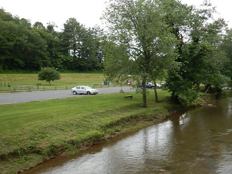
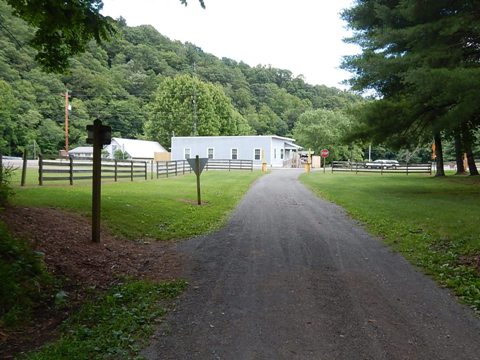
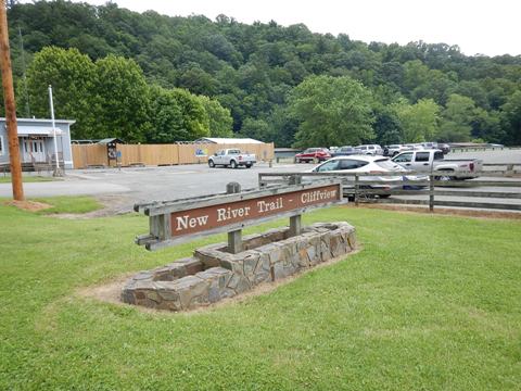
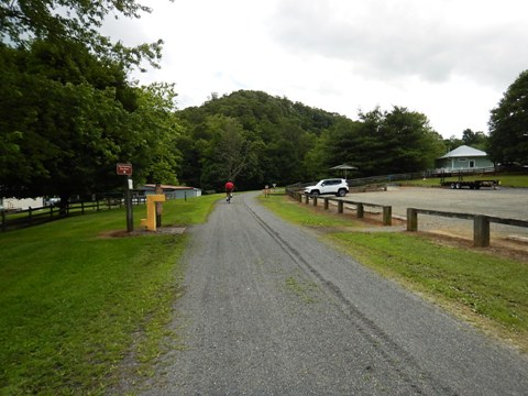
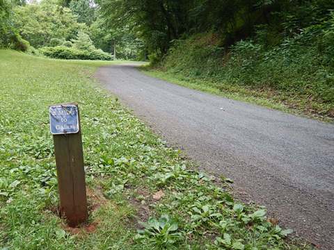
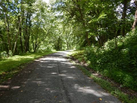
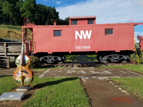
Cliffview to Galax (P49-51)
Cliffview Trailhead has a trail office and gift shop, parking, restrooms, refreshments. The trail runs its final 2 miles to Galax. Galax Trailhead has parking, restroom, picnic and caboose exhibit. Galax is known for its bluegrass music, also recognized at the trailhead.

More Information and Resources
More Biking:
Bike-Virginia - More
bike trails and information about biking in Virginia
Related Resources:
Virginia State Parks - New River Trail State Park

Copyright © BikeTripper.net. All Rights Reserved. Have Bikes - Will Travel