Bike Tripper
Have Bikes, Will Travel
Bike Trail Maps & Photos Galore
You are here >
Home >
Virginia >
Virginia Creeper Trail
Reported: August 2012
Virginia Creeper Trail...
Biking in Virginia's' Blue Ridge Highlands
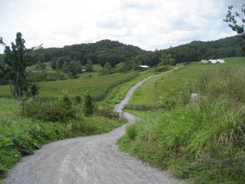
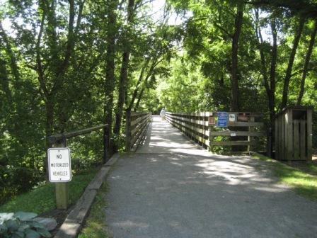
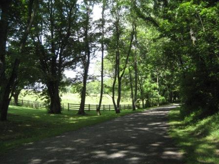
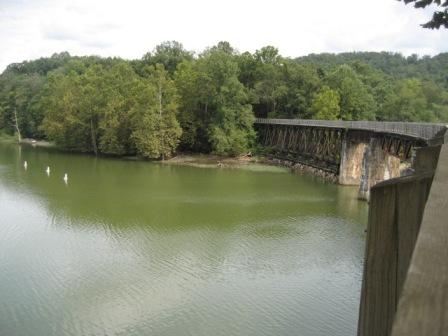
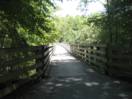
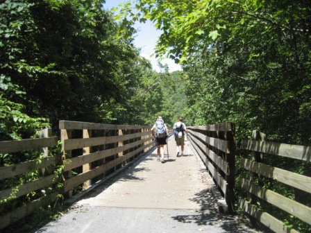
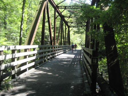
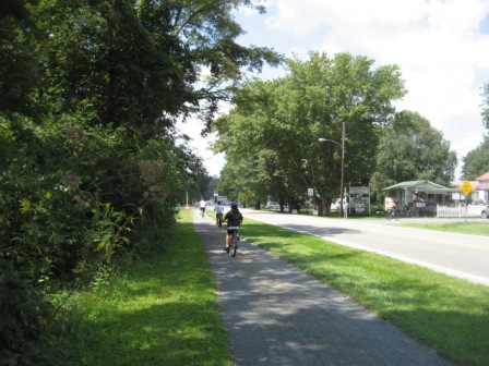
Located in the southwest Virginia Blue Ridge Highlands, the Virginia Creeper - a National Recreational Trail - runs 34 miles from Abingdon to the Virginia-North Carolina border. The trail is considered one of the most beautiful on the East Coast, and we have to agree. The scenic trail includes 47 trestles and is popular for biking, hiking (the Appalachian Trail crosses the Virginia Creeper Trail at various points and runs through Damascus), horseback riding, and cross country skiing. Abingdon and Damascus have food, facilities, and shops. (Detailed map and photos below.)
Location: Abingdon to North Carolina state line near Whitetop Station; Washington and Grayson Counties, Virginia (See map)
Distance: 34 miles
Surface: Various, paved and unpaved
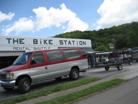
Bike Shops/Rentals:
See list here 
Page Summary:
- Biking the Virginia Creeper Trail
- Abingdon to Alvarado Station
- Alvarado Station to Damascus
- Whitetop Station to Damascus - Some History
- More Information and Resources
Biking the Virginia Creeper Trail... Comments and Photos
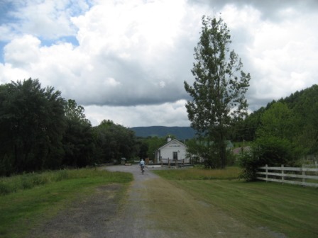
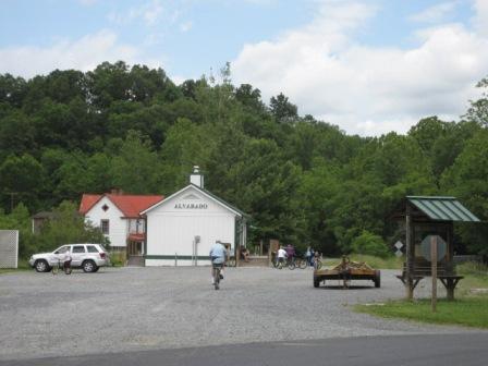
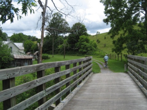
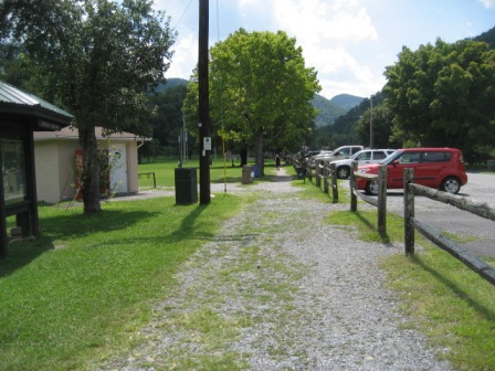
Abingdon to Alvarado Station
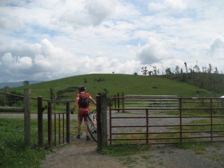
The old architecture at Abingdon is charming, with shops and good restaurants. Alvarado Station, once a depot on the Virginia Creeper Line, is at about the midpoint between Abingdon and Damascus, and as the lowest point of the trail it's uphill in either direction, but no more than 2 degree rise (except for one steep hill) so easy even for us flatland Florida bikers.


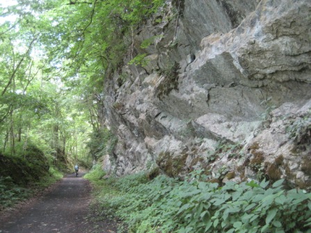
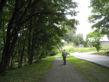
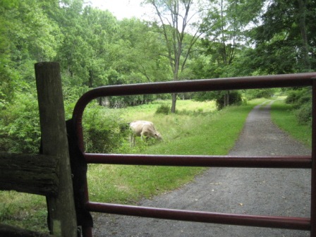
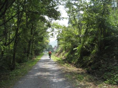
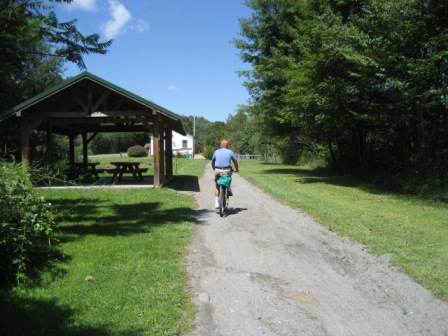
Alvarado Station to Damascus
This section starts out along Laurel Creek and goes through pretty countryside before emerging onto the road near Damascus. Damascus is popular for the shuttles that run up to Whitetop Station for the 17-mile ride downhill. The Appalachian Trail goes down Main Street with as many hikers as bikers.
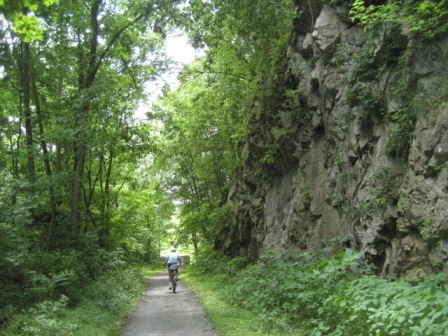
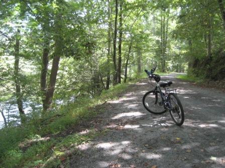

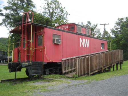
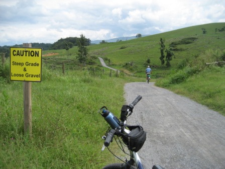
Whitetop Station to Damascus
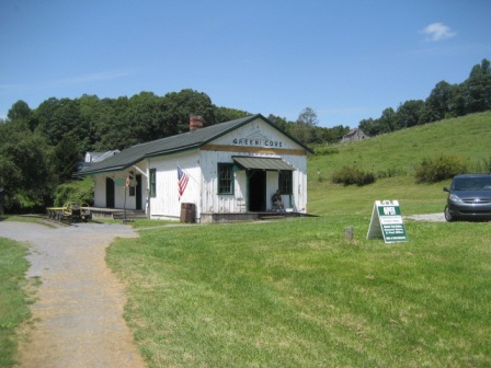
Whitetop Station in the Mount Rogers National Recreational Area is the highest point of the trail and a short distance from the North Carolina line. The downhill ride is very scenic and very popular - 500-600 people will ride it on a busy day. We rode mid-week and encountered many fewer than that. Green Cove Trailhead, along the way, is the last remaining original depot on the trail.


Some History
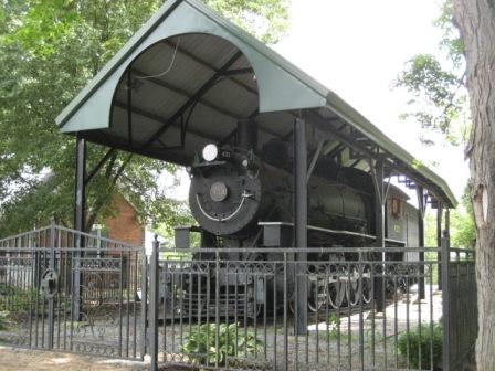
Like many things in Virginia, the trail has a long history. Starting as a Native American trail, it was later used by pioneers including Daniel Boone before the railroad was built in 1887. "Virginia Creeper" is a type of plant and the name was given to the steam locomotives struggling up the mountains.
More Information and Resources
More Biking:
Bike-Virginia - More
bike trails and information about biking in Virginia
Related Resources:
Virginia Creeper Trail Club -
Virginia Creeper Trail
City of Abingdon - Virginia Creeper Trail
US Forest Service - Virginia Creeper Trail
Support and Advocacy:
Virginia Creeper Trail Club

Copyright © BikeTripper.net. All Rights Reserved. Have Bikes - Will Travel