Bike Tripper
Have Bikes, Will Travel
Bike Trail Maps & Photos Galore
You are here > Home >
Georgia >
Augusta Trails >
River Levee Trail
Reported: October 2023
River Levee Trail...
Connecting Trails along the Savannah River
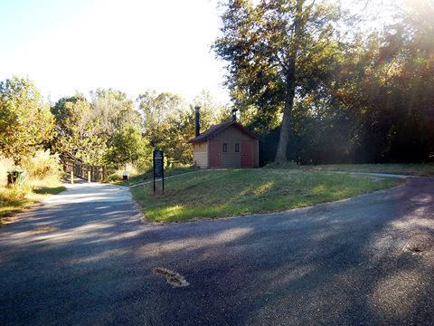
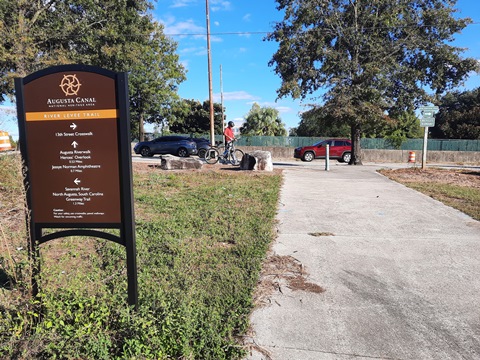
The paved River Levee Trail runs for 2 miles from Rae's Creek Aqueduct Park at the north to 13th Street at the south. The trail serves as a connector between the Augusta Canal Trail and Augusta Riverwalk. The only trail access is at the northern and southern ends. Parking and restrooms are available at Lake Olmstead Park, and a restroom is provided midway near the Sibley Mill Bridge. (Detailed map and photos below.)
Location: Augusta, GA (See map)
Distance: 2 miles
Surface: Paved, boardwalk
Trailheads/Parking: Lake Olmstead Trailhead
Nearby Places of Interest: Rae's Creek Aqueduct Park
Bike Shops/Rentals:
The Bicycle Peddler  (rentals, sales, service)
Andy Jordan's
Bicycle Warehouse
(rentals, sales, service)
Outspokin' Bicycles
(sales, service, group rides)
Page Summary:
- Biking on the River Levee Trail
- Lake Olmstead Trailhead to River Levee Trail
- River Levee Trail - More Information and Resources
Biking on the River Levee Trail... Comments and Photos
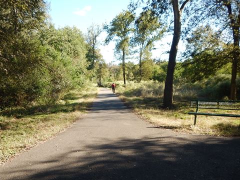
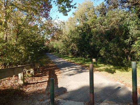
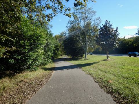
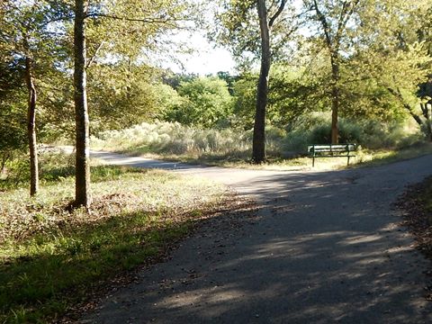
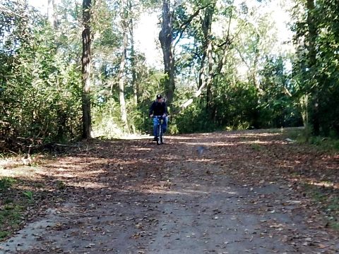
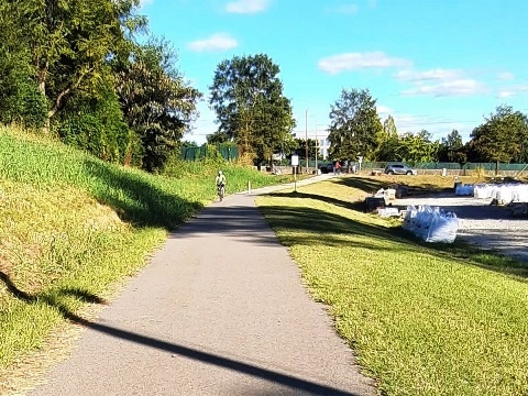
The paved River Levee Trail is easy to ride, flat and smooth. It mostly runs between the Savannah River and Riverwatch Pkwy. Though separated from the road by a wide median, road noise can be expected. Several bridges and boardwalks are scenic bonuses. Benches and directional signs are located regularly along the way.
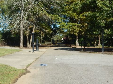
Our visit starts at the Lake Olmstead Trailhead, shared with the Augusta Canal Trail.
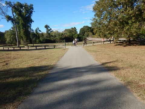
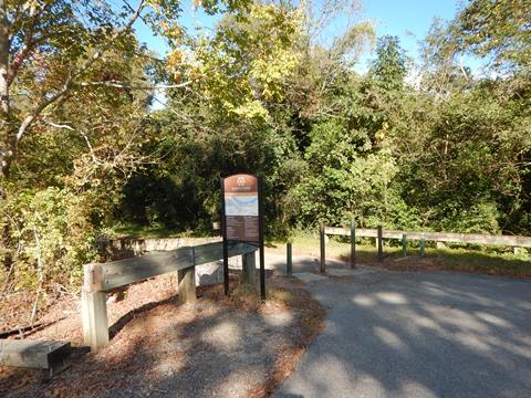
Lake Olmstead Trailhead to River Levee Trail (0.2 mile)
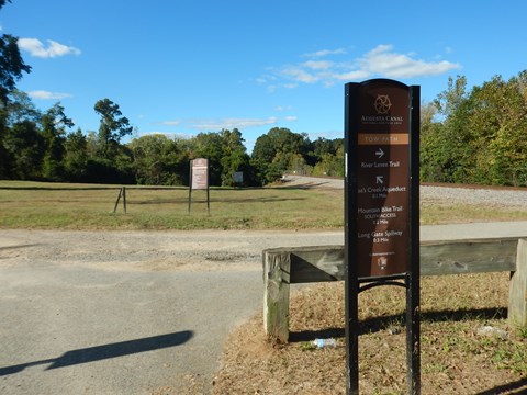
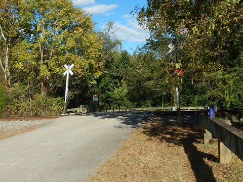
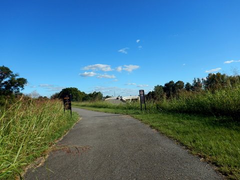
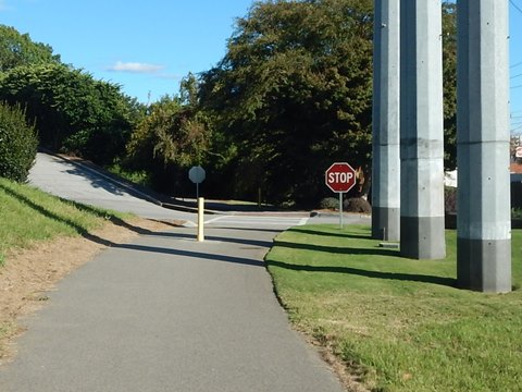
From the Lake Olmstead Trailhead, cross the bridge over the canal and follow the paved trail toward Rae's Creek Aqueduct Park (1850 aqueduct and waterfall) - directional signs point the way. Follow the path over a railroad track to the River Levee Trail.
River Levee Trail (2 miles)
Trail Start to King Mill Bridge
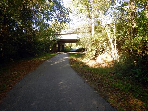
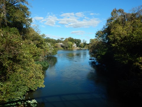
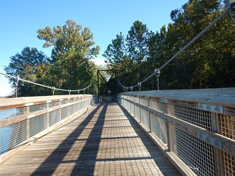
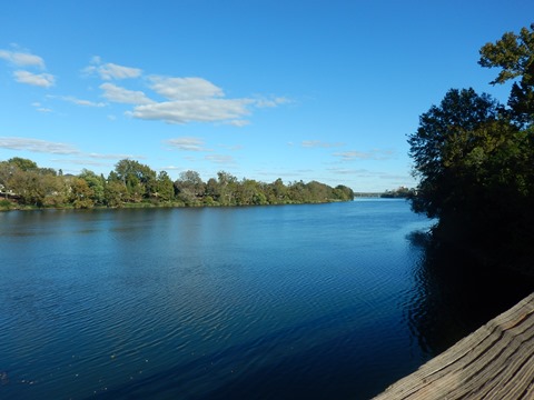
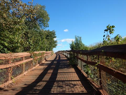
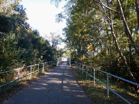
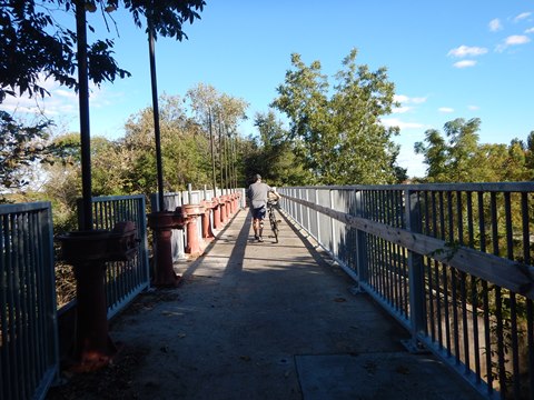
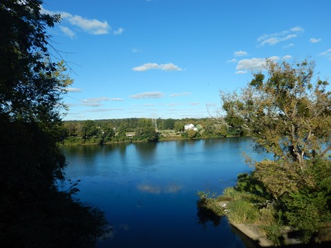
The trail runs through a wooded area and then under Riverwatch Pkwy. It then turns southbound between the river and the road with mixed sun and shade. The bridges at the Sibley Mill and King Mill "tailraces" give scenic river views.

King Mill Bridge to Trail End
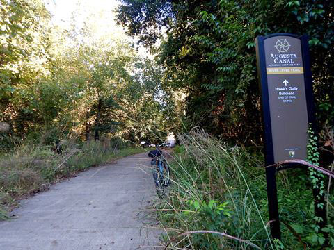
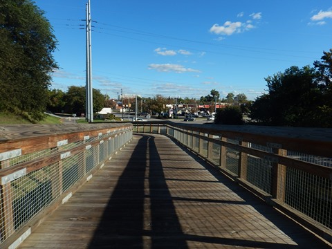
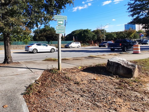
Continuing on the trail, a boardwalk leads to the river levee and then the trail crosses the Hawks Gulley bulkhead, where the gate structure is incorporated into the trail. This is more narrow, and bikers should walk across. Another boardwalk leads down to the only road crossing along the trail, at Waters Edge Dr.(15th St.). Past there, the trail runs past a commercial area to its end at 13th St. Follow the sidewalk to the crosswalk at Reynolds St. to connect to the Augusta Riverwalk.
More Information and Resources
Nearby Biking:
More Augusta Bike Trails:
- Augusta Canal Trail
- Augusta Riverwalk
Bike-Georgia - More bike trails and information about biking in Georgia
Related Resources:
Discover Georgia Outdoors -
River Levee Trail
Augusta
Canal National Heritage Area - Activities

Copyright © BikeTripper.net. All Rights Reserved. Have Bikes - Will Travel