Bike Tripper
Have Bikes, Will Travel
Bike Trail Maps & Photos Galore
You are here > Home > South Carolina > North Augusta Greeneway > Reported: October 2023
North Augusta Greeneway, South Carolina...
Easy Biking on Paved Rail-Trail and Scenic Loop
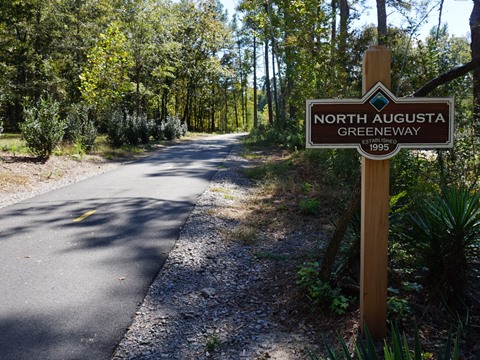
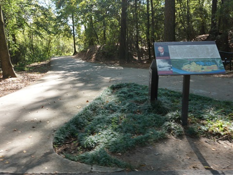
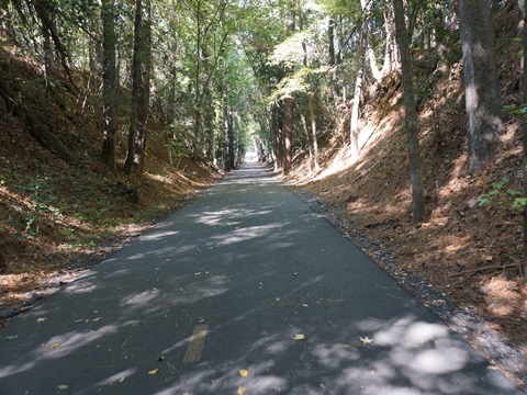
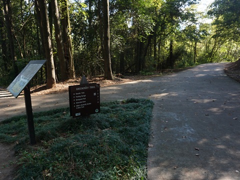
Named for former mayor and trail champion Thomas W. Greene, the North Augusta Greeneway is a paved rail-trail about 6 miles in length, nicely shaded, popular with bikers, walkers, runners, and skaters. More recently, paved side-trails have been added, notably the 1.5 mile Hammond's Ferry Loop, with scenic views of the Savannah River. Together, the rail-trail and additions are referred to as simply "The Greeneway." A connector crossing the river to Georgia's trails is planned. (Detailed map and photos below.)
Location: Aiken County, SC (in
red on map)
Distance: 8 miles total: 6 mile rail-trail, plus
1.5 mile Hammond's Ferry Loop, plus other spurs
Surface: Paved Asphalt, 8-10 feet
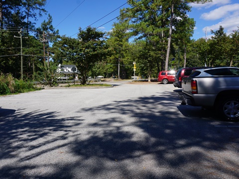
Trailheads/Parking: Riverview Blvd., Hammond’s Ferry Soccer Complex, Riverview
Park, E. Martintown Rd., Pisgah Rd., Bergen Rd.
Nearby Places of Interest: SRP Park (Augusta
GreenJackets minor league baseball),
Augusta Riverwalk and
Augusta Canal Trail
(in GA)
Support and Advocacy:
North
Augusta Forward - Friends of the Greeneway (FROG) 
Bike Shops/Rentals:
Andy Jordan’s Bicycle Warehouse
(rentals, sales, service)
Page Summary:
- Biking the North Augusta Greeneway
- Riverside Blvd. to Riverview Park
- Riverview Park to Mayfield Dr. - Hammond's Ferry Loop
- About Hammond's Ferry - More Information and Resources
Biking the North Augusta Greeneway... Comments and Photos
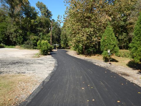
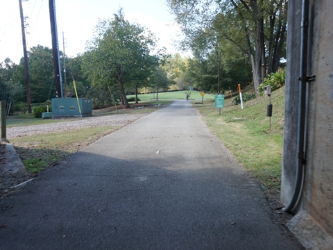
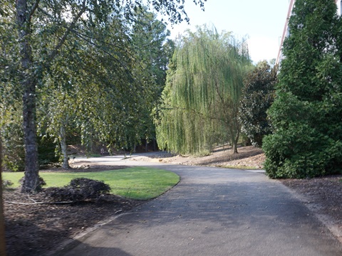
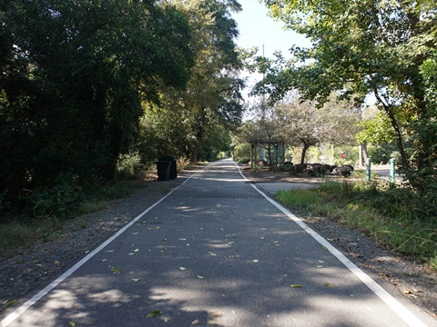
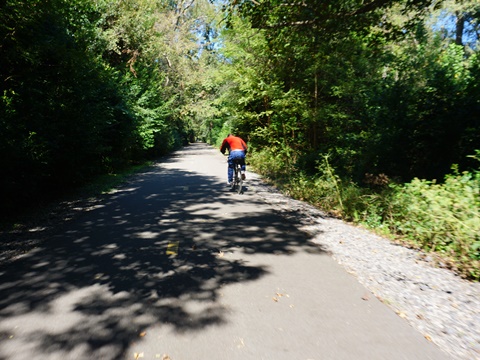
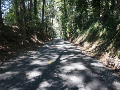
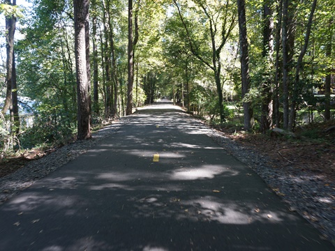
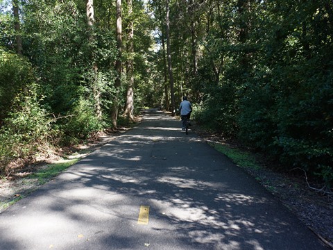
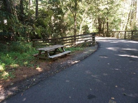
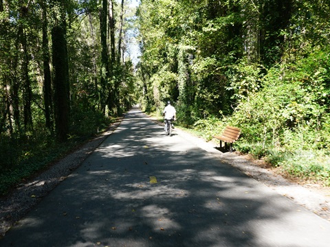
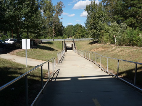
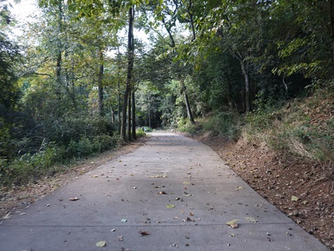
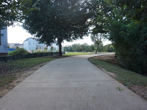
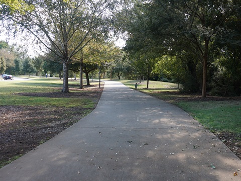
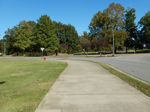
The North Augusta Greeneway is a shady and mostly tranquil ride. We biked the rail-trail from the Riverside Blvd. Trailhead west, and then turning north to the trail's end at Mayfield Dr. On our return trip, we took Hammond's Ferry Loop and explored another spur (about 15 miles total r/t). The gentle grade northbound was very manageable. There's good signage with mile points, benches, water and picnic areas. Bridges and underpasses make most major road crossings easy. The trail varies from dense woodland to more open areas providing glimpses of the surroundings. Yet even when biking through developed residential areas, the wide wooded buffer creates a remote feel and provides habitat for wildlife. The trail is a designated National Recreation Trail.
Riverside Blvd. to Riverview Park
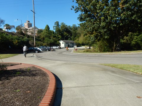
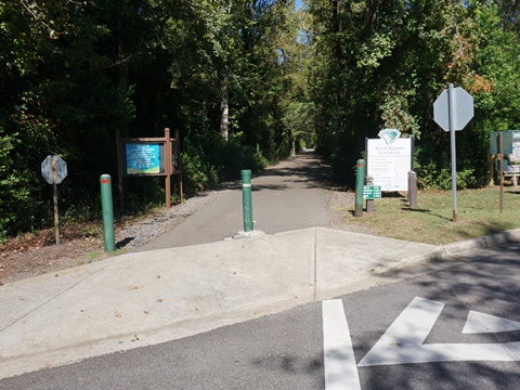
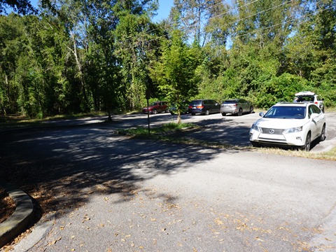
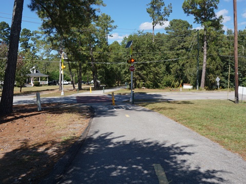
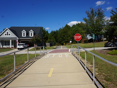
Riverside Blvd. Trailhead
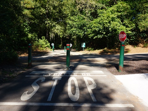
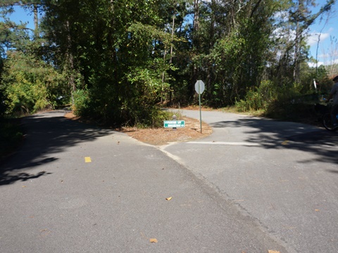
The trailhead (parking, fix-it station) at Riverside Blvd. is a "Greeneway hub" offering bikers a choice in four directions:
- Looking west, the trail goes through an underpass at Georgia Ave. and continues to trail end at Mayfield Dr.
- Looking east across Riverside Blvd., the trail goes roadside about 0.5 mile, ending at the River Golf Club.
- Looking north, a paved spur goes to the Bark Park and Billie's Butterfly Garden (about 1 mile r/t).
- Looking south, the paved trail is a leg in Hammond's Ferry Loop (we returned via the Loop - more below).
Riverside Blvd. Trailhead to Riverview Park (1.5 mile)
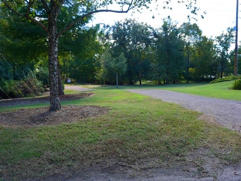
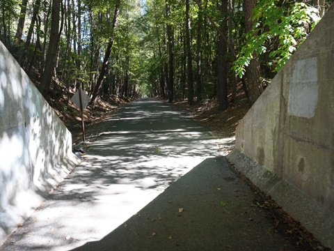
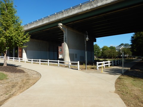
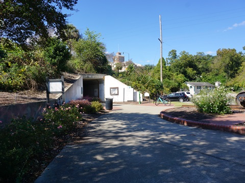
We initially biked the rail-trail going west under Georgia Ave. Just past the underpass is a link south to Brick Pond Park (restrooms, picnic table and benches, trails, fishing, paddling, wildlife viewing), then the trail goes past the Municipal Complex and through another underpass at Center St. From here, the trail becomes more scenic through woodlands, over bridges, and past neighborhoods. Other features in this section:
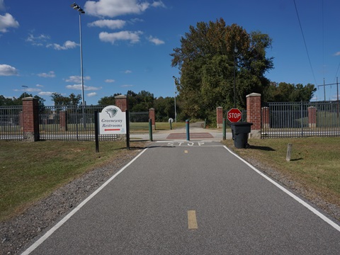
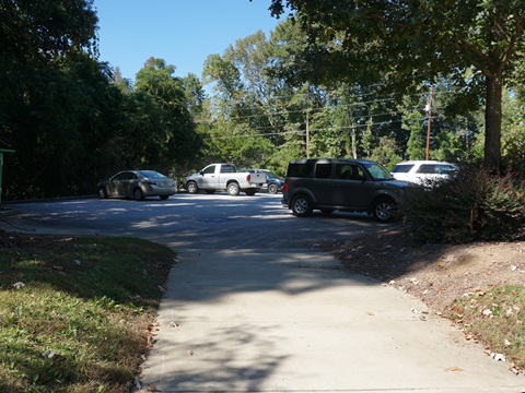
- The Soccer Complex, with trail parking and restrooms. From here, the trail turns northbound.
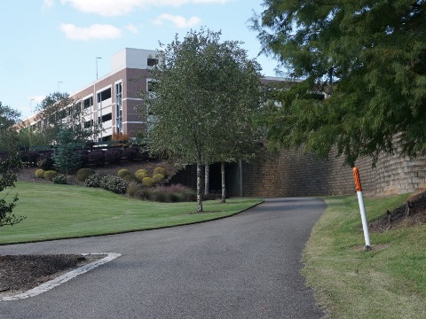
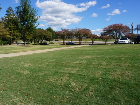
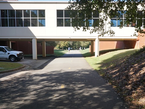
- Riverview Park, with parking, restrooms, fix-it station, Activity Center, playground, playing fields; the trail passes under a walkway at the entrance to the activity center.

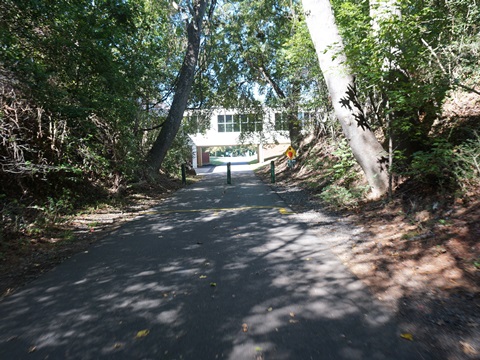
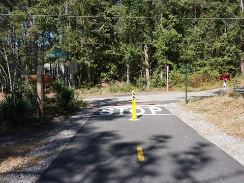
Riverview Park to Mayfield Dr.
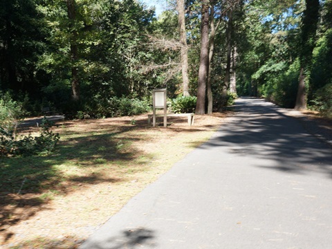
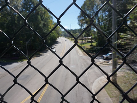
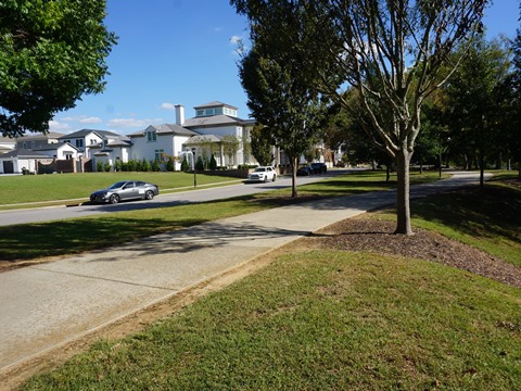
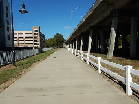
This section continues with alternating woodlands, underpasses, bridges, and embankments. There are a few road crossings with access to neighborhoods, but the crossing at Broxten Dr. is the only place the trail actually passes through a neighborhood. Be careful at the busy intersection at Pisgah Rd. - use the crossing light. Parking is available at Martintown Rd., Pisgah Rd., and Bergen Rd. The trail currently ends at Mayfield Dr.
Riverview Park to Greeneway Bridge (1.5 miles)
Features in this section:
- A fitness course.
- Martintown Rd. trailhead (parking)
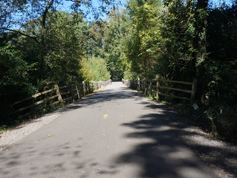
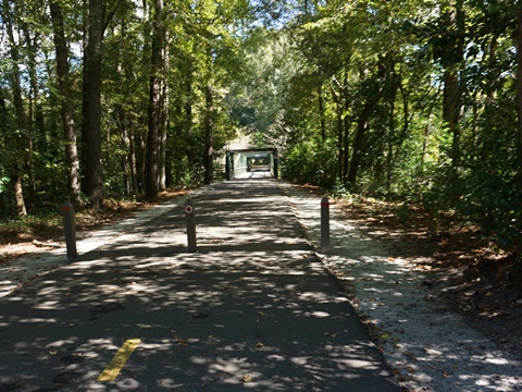
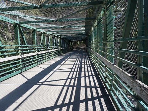
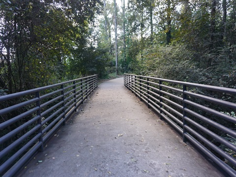
- The Greeneway Bridge, a 180-foot arch-truss pedestrian bridge at the site of an old trestle crossing SC 230 (Martintown Rd.)
Greeneway Bridge to Mayfield Dr. (3 miles)
Features in this section:
- Pisgah Rd, trailhead (parking)
- Bergen Rd. trailhead (parking)
- Current trail end at Mayfield Dr.


Hammond's Ferry Loop (1.5 miles)
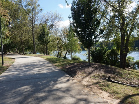
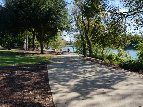
This is a Greeneway Trail addition, with scenic views along the Savannah River. Features in this section:
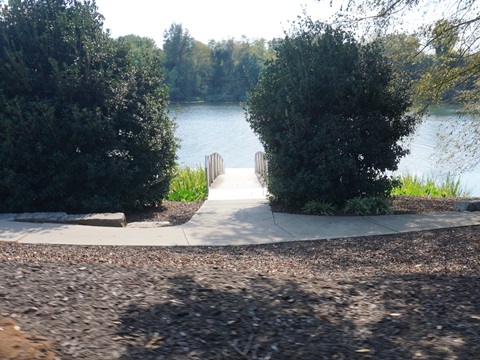
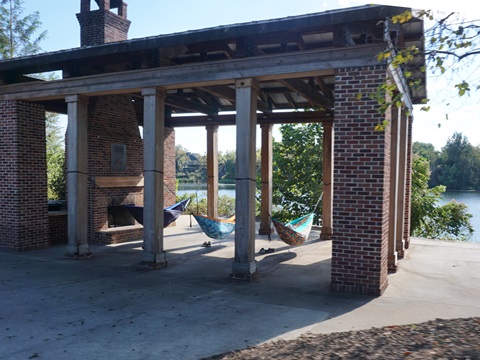
- Boeckh Park (riverfront, pavilion, picnic, benches, floating dock)
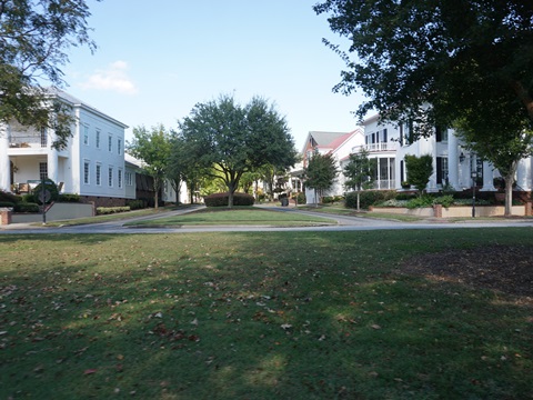
- Riverside Village (residences, restaurants, retail, office, hotel)
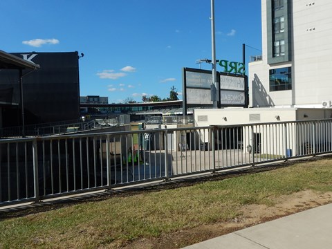
- SRP Park (GreenJackets minor league baseball complex)
Main Trail to Savannah River (Front St.)
The Greeneway loops to the Savannah River on a spur known as the Hammond's Ferry Loop. The first section starts off the main trail near Crystal Lake Dr. then runs about 4/10 mile along Crystal Creek to the river at Front St. From there, it continues along the riverfront to the Georgia Ave. bridge.
Trail along Front St. - Boeckh Park
This section runs through Boeckh Park (pavilion, picnic, benches, floating dock), with scenic river views, to Georgia Ave. (about 3/4 mile). Across Front St., are the evolving Riverside Village Town Center (residences, restaurants, retail, office, hotel), and SRP Park (GreenJackets minor league baseball).
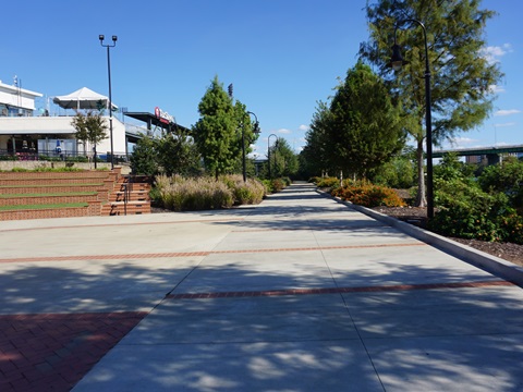
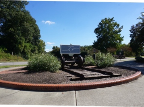
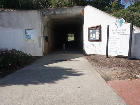
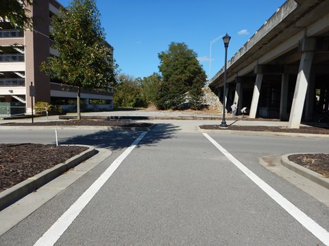
SRP Park Return to Trailhead
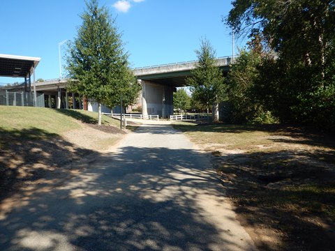
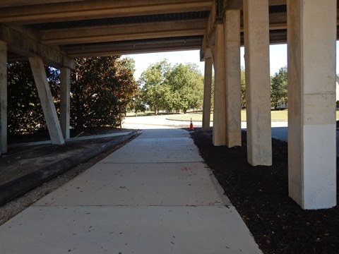
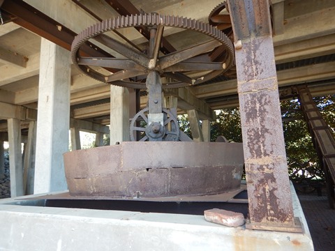
Past the SRP complex, the trail runs north parallel to Georgia Ave. to an underpass with a display of machinery from North Augusta's Historic Industrial Area. The trail goes through the underpass to Riverside Blvd. where the final leg goes about 0.2 mile northward, back to the Riverside Blvd. trailhead.

More about Hammond's Ferry
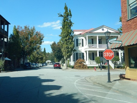
Hammond's Ferry is a mixed-use community built on "New Urbanism" principles: to create livable (walkable, bikeable) neighborhoods with a variety of housing styles and parks, centered on a town center. The neighborhood design and traditional architecture help build a sense of community.
More Information and Resources
More Biking:
Bike-South Carolina
- More information about biking in South Carolina
Bike Augusta (GA) - Bike trails
across the Savannah River in Augusta, GA
Related Resources:
City of North Augusta - Greeneway Trail
City of North Augusta - Greeneway Trail Brochure
North Augusta Forward - The Greeneway
North Augusta Forward - North Augusta Parks

Copyright © BikeTripper.net. All Rights Reserved. Have Bikes - Will Travel