Bike Tripper
Have Bikes, Will Travel
Bike Trail Maps & Photos Galore
You are here >
Home >
Ohio >
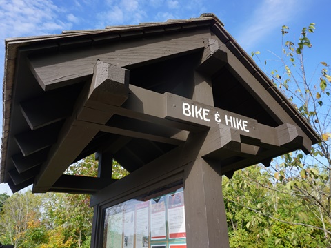
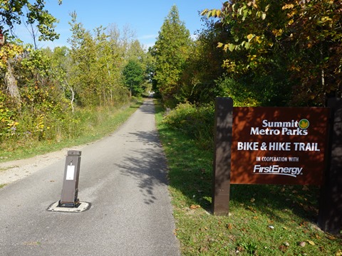
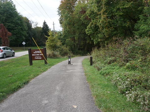
Summit Metro Bike-Hike Trail
Reported: October 2022
Bike-Hike Trail, Summit Metro Parks...
Biking in Ohio
The Summit Metro Parks, located in northeast Ohio between Cleveland and Akron, is one of Ohio's 10 Park Districts. Within its 15,000 acres and 16 parks, there are 70 miles of biking trails including the Bike-Hike Trail, a 34-mile paved rail-trail from Walton Hills to Stow. The trail runs through both suburban and rural areas, with a section bordering Cuyahoga Valley National Park and other sections along the Cuyahoga River. Activities include biking, hiking, and cross-country skiing. Part of an extensive parks and trail network, it connects at the north to Cleveland Metropark Trails and at the south to the Portage Hike & Bike Trail in Kent. (Detailed map and photos below.)
Location: Summit County, OH (See map)
Distance: 34 miles
Surface: Paved
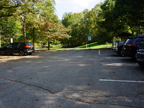
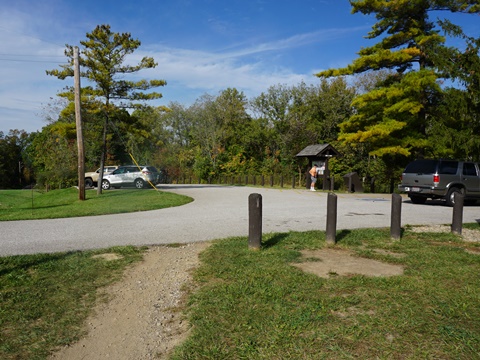
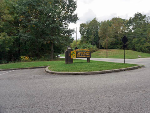
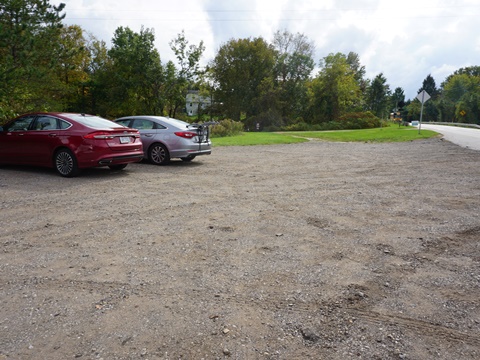
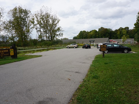
Trailheads/Parking: 13 locations (See map)
Nearby Places of Interest: Cuyahoga Valley National
Park, Bedford Reservation, Kent State University
Support and Advocacy:
Summit Metro Parks Foundation 
Bike Shops/Rentals:
Falls Wheel & Wrench Bike Shop
(Cuyahoga Falls; sales, service)
Eddy's Bike Shop
(Stow; sales, service)
Valley Bike Rental (Peninsula; rentals)
Page Summary:
- Biking the Summit Metro Bike-Hike Trail
- Northern Section
- Trailheads: Alexander Rd., Rt. 82, Brandywine Falls, Boston Heights/East Rim, SR 303 - Southern Loop
- Trailheads: Springdale Rd., Silver Lake, Brust Park/SR 91, Young Rd., Silver Springs Park, Norton Rd., Barlow & Terex Rds. - Some History
- More Information and Resources
Biking on the Summit Metro Bike-Hike Trail... Comments and Photos
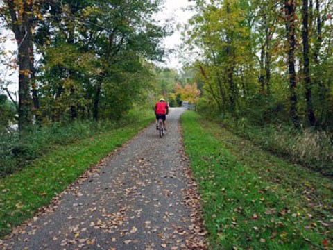
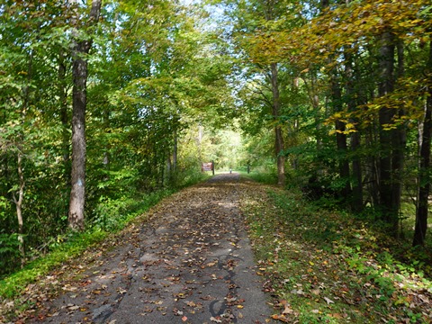
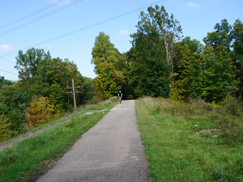
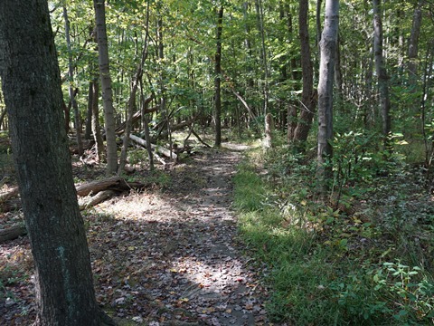
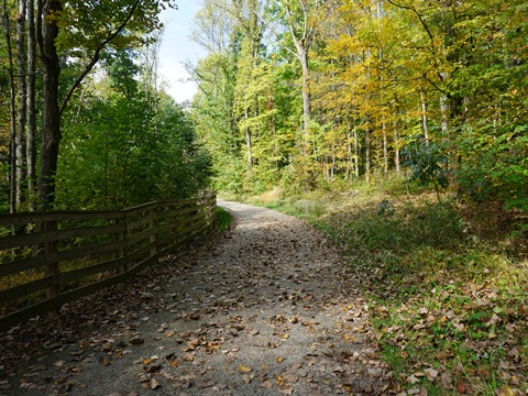
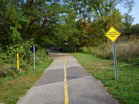
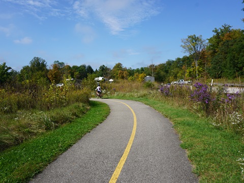
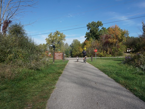
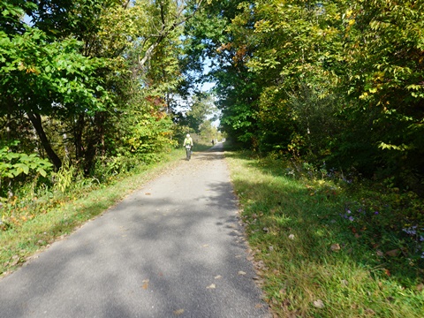
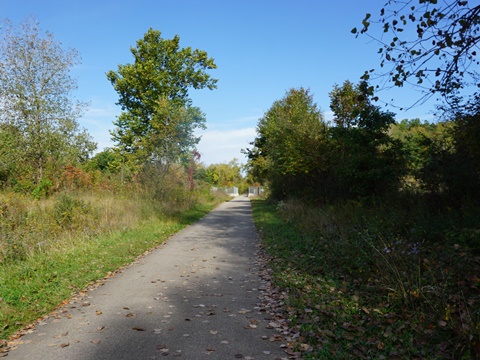
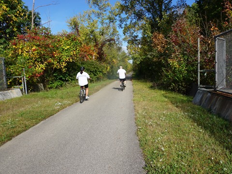
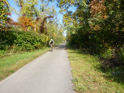
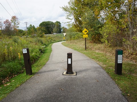
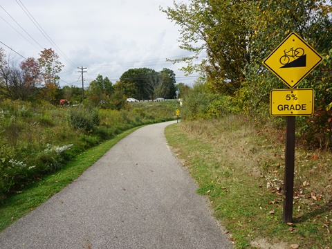
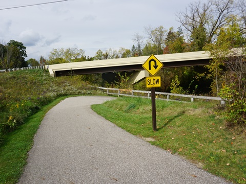
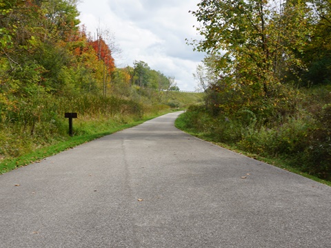
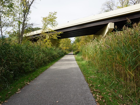
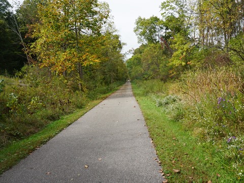
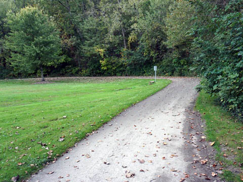
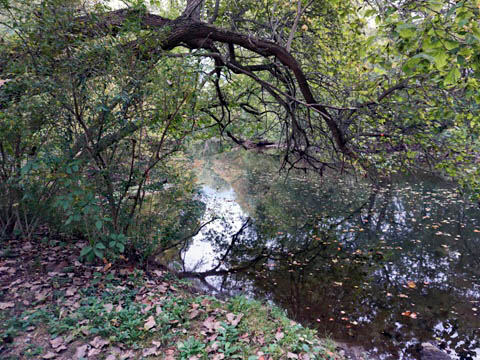
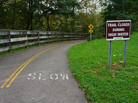
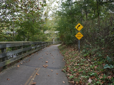
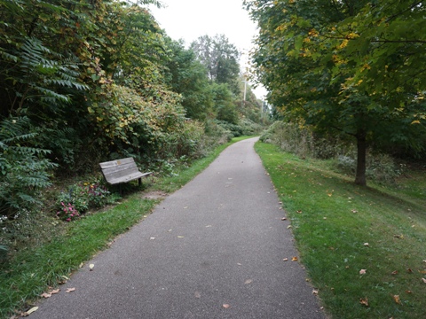
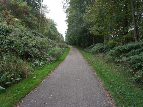
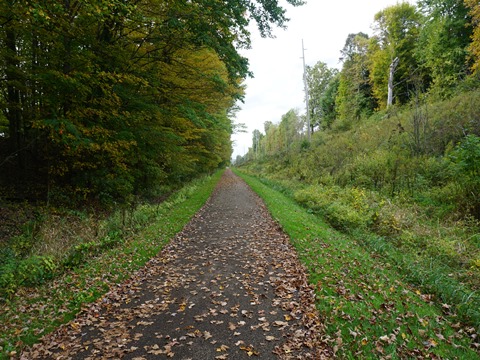
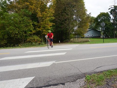
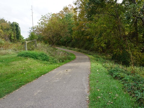
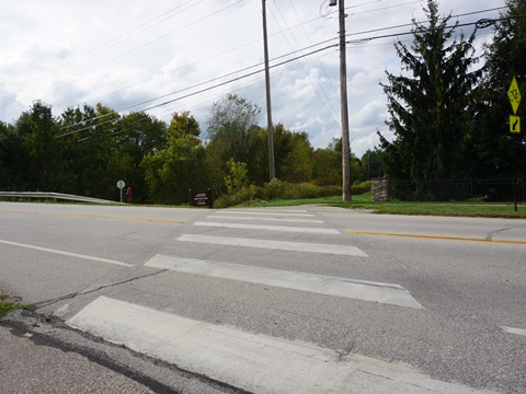
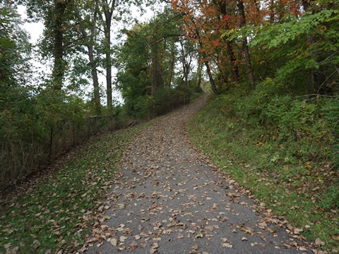
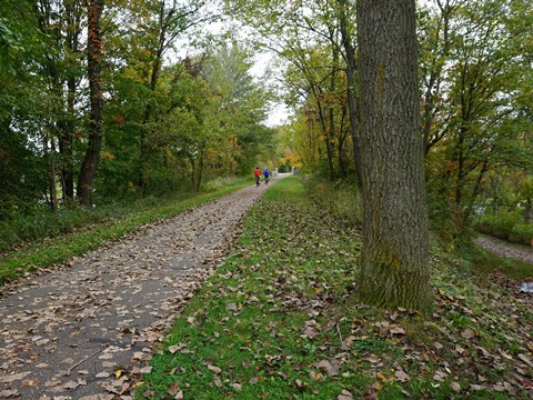
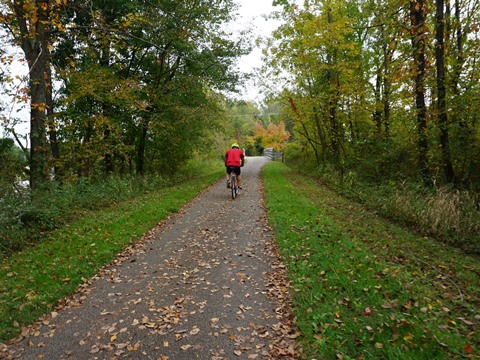
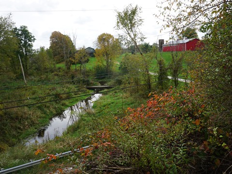
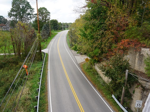
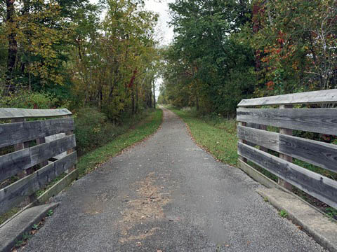
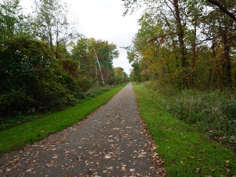
We stumbled on this trail while visiting Brandywine Falls, and decided to explore more. The trail is wide, well-kept and diverse, with rural areas, past parks and in more developed sections. Portions run on-road, but well marked to follow the route. There are many road crossings, especially along the southern loop, with bridges and underpasses at the busier roads. We observed the longer stretches to be popular with road bikers. As flat-lander Florida bikers we found much of the trail too hilly for us (we do not yet have e-bikes), while other sections along roads were unappealing. For more pleasant recreational biking, we recommend two sections, more wooded and tranquil: in the north at Cuyahoga Valley National Park, and in the south along the Cuyahoga River.
Here we visit trailheads and bike portions along the route from north to south, then looping back north.
Northern Section
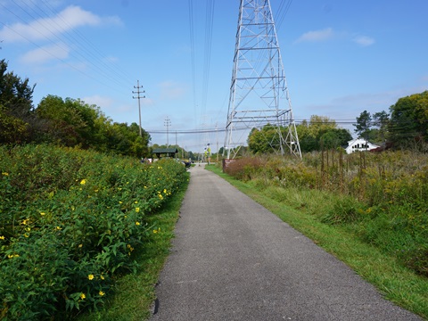
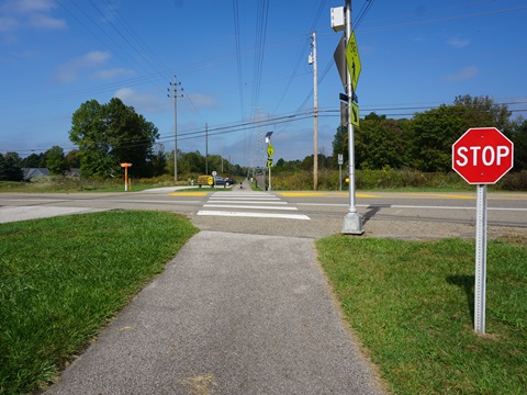
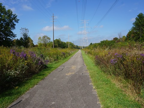
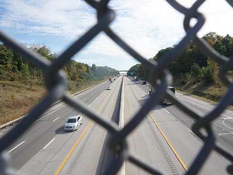
- The first section of the trail runs along a powerline corridor including some road crossings - about 4 miles.
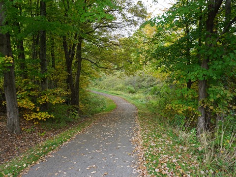
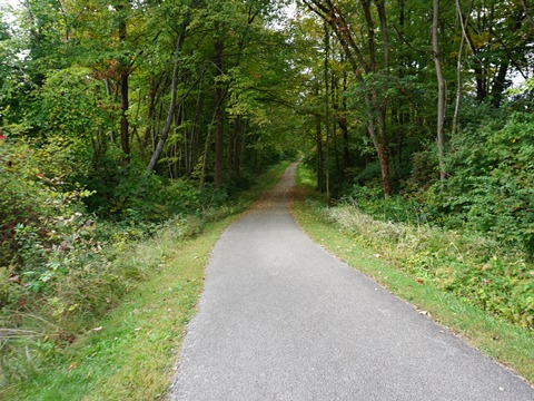
- The next section - about 6 miles - almost totally borders Cuyahoga Valley National Park, rural and tranquil. Brandywine Falls is a highlight.
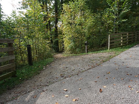
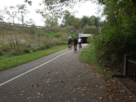
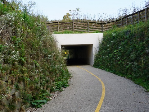
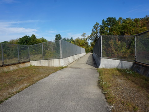
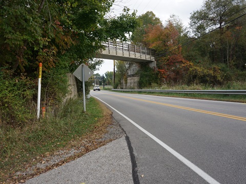
- Past the SR 303 trailhead about 1/2 mile, the trail splits and the loop begins. Along the way, you'll bike under Akron-Cleveland Rd. and then over Rt.8.
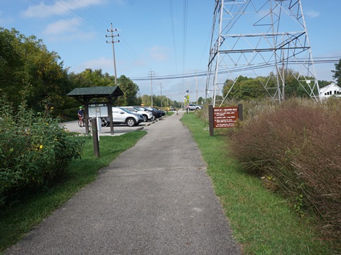
Alexander Rd. Trailhead
Mile 0, Walton Hills
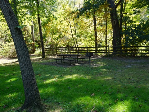
Northern terminus. Parking, picnic tables, porta-potty, hiking and equestrian trails.
To the north, link to Cleveland Metroparks trails and Bedford Reservation.
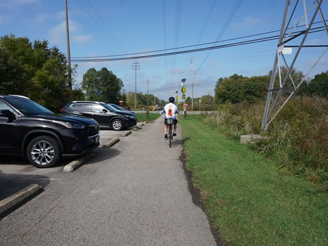
Route 82 Trailhead
Mile 3, Sagamore Hills
Parking available on both sides of Rt. 82 (Aurora Rd.). Trail runs along a powerline.

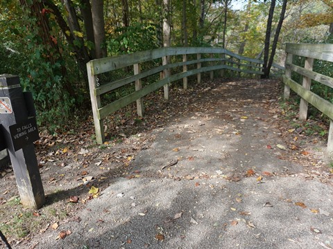
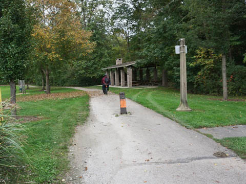
Brandywine Falls
Mile 6, Sagamore Hills
Parking, restrooms. At Cuyahoga Valley NP, access the Falls and Gorge Trail.
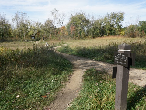
Boston Heights / East Rim Trailhead
Mile 8 - Boston Heights
Parking, porta-potty. At Cuyahoga Valley NP, access East Rim Trail, The Ledges.
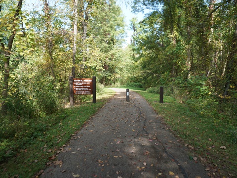
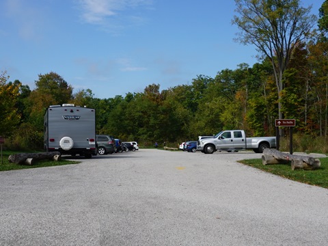
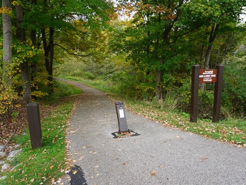
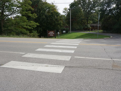
SR 303 Trailhead
Miles 10.5 and 34 - Boston Heights
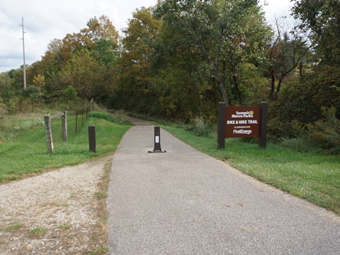
Parking, porta-potty. 1/10 mile connector to Bike-Hike Trail.
Southern Loop
In the southern section the trail makes a loop, we visit in a counterclockwise direction:
South and East
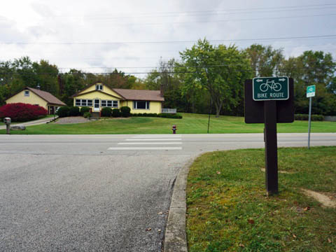
- South - From Springdale Road to Silver Lake, the trail runs on-road as a bike lane through residential areas, with road crossings and driveways - about 3 miles.
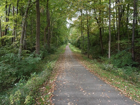
- East - From Silver Lake to the Portage County line at N. River Rd., the trail parallels the Cuyahoga River with one road crossing at the Brust Park / SR 91 trailhead - about 4 miles.
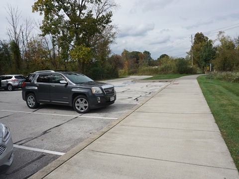
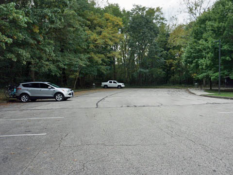
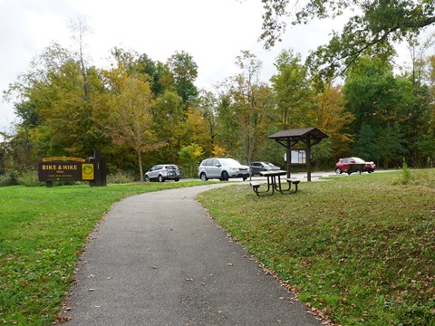
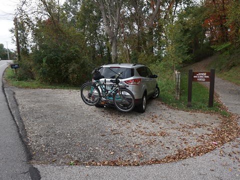
Springdale Road Trailhead
Mile 15 - Stow
The Springdale Trailhead (parking, porta-potty) is along Springdale Road, where it continues on-road to Silver Lake Trailhead. The route runs on mostly quiet streets - follow the signs.

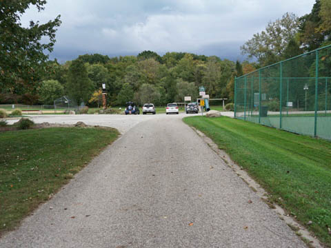
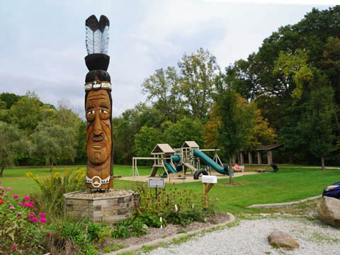
Silver Lake Trailhead
Mile 19 - Stow
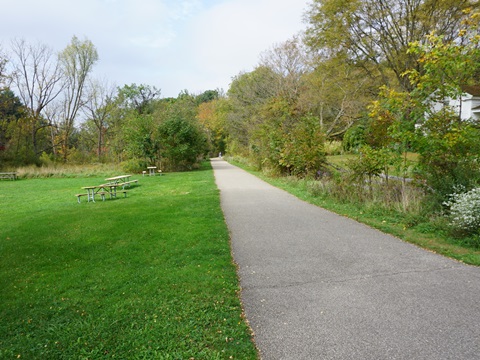
Located at the Silver Lake Town Hall complex (parking, picnic, porta-potty, playground, playing fields, tennis/pickleball). The dedicated trail resumes from here, paralleling the Cuyahoga River.
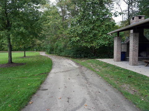
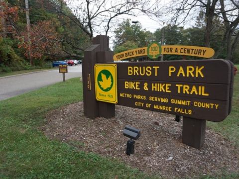
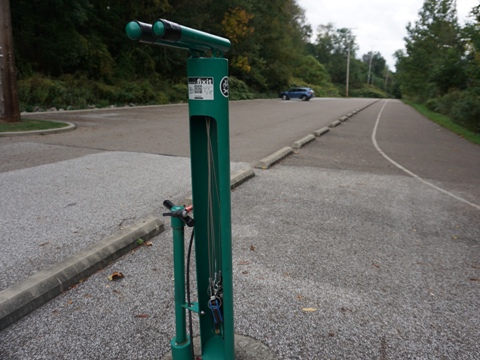
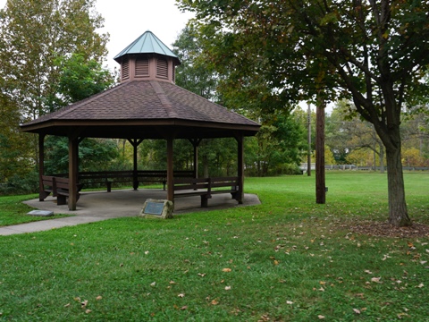
Brust Park - SR 91 Trailhead
Mile 20 - Munroe Falls
Brust Park in Munroe Falls serves as Trailhead (parking, restrooms, fix-it station, gazebo, benches, Cuyahoga River Trail access). River viewing platform is at location of the old Munroe Falls Dam.

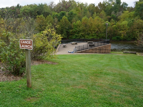
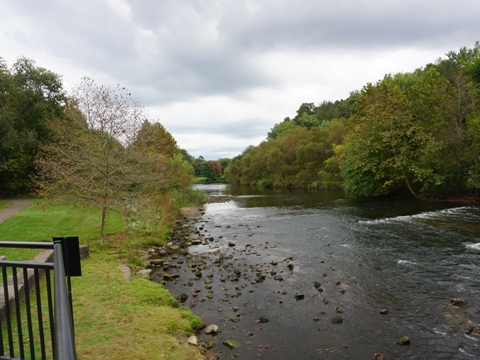
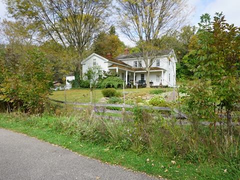
History: The Munroe Falls Dam, built to power a saw and grist mill (later converted to a paper mill), was located here 1817-2005. It was removed to restore the natural flow of the Cuyahoga River. While the Falls no longer exist, the town name remains unchanged.
Return North and West
- North - From N. River Rd. to Young Rd. Trailhead, the route alternates between dedicated trail and sections on-road or next to road through residential and commercial areas with many road crossings - about 6 miles.
- West - In this section, the route is all on a dedicated trail. From Young Rd, to the Silver Springs Trailhead, the trail borders Silver Springs Park. Completing the loop, the trail runs through a developed area but wooded and well-buffered from the surroundings - about 5 miles.
Young Road Trailhead
Mile 27.5 - Stow
Parking, restroom, picnic. From the trailhead, go west to continue on the Summit Metro Bike-Hike Trail, or go east to link to the Portage Hike & Bike Trail.
Silver Springs Park Trailhead
Mile 28 - Stow
Small roadside parking area near Stow Rd. crosswalk. Trail access to Silver Springs Park (parking, restrooms, picnic, playground, fishing, playing fields, campground).
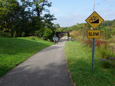
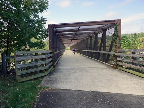
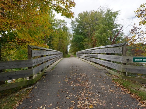
Barlow & Terex Rds. Access
Mile 32 - Hudson
Small roadside parking area near intersection of Barlow and Terex Rds. Take the path up the hill to the trail and trestle bridge over Barlow Rd.
Some History
The Bike & Hike Trail is one of the first rails-to-trails conversions in the country (1972), running along two abandoned rail lines:
- The Lake Erie & Pittsburgh Railroad (LE&P), began service in 1911. As part of the New York Central Railroad (NYC), it carried freight until 1968.
- The Akron, Bedford & Cleveland Railroad (AB&C, or the "Alphabet Railroad"), once the longest electric passenger line in the world, ran from 1895 until 1932.
More Information and Resources
Nearby Biking:
Cuyahoga Valley National Park
Ohio & Erie Canal Towpath
Trail
Bike-Ohio - More bike
trails and information about biking in Ohio
Related Resources:
Summit Metro Parks - Bike & Hike Trail
Cleveland Metroparks - Biking & Cycling
Portage
Hike & Bike Trail

Copyright © BikeTripper.net. All Rights Reserved. Have Bikes - Will Travel